
| Distance / Altitude | Location | Report Date / Time | Live Weather | Wind | Gusts | Temp. | Visibility | Cloud |
|---|---|---|---|---|---|---|---|---|
| 8 km S / 218 m | ST Petersburg Airport (Florida) | 2026-07-15 05:53 local (2026/07/15 09:53 GMT) | Clear | light winds from the SSW (9 km/h at 200) | 26°C | 16 | ||
| 8 km WSW / 22 m | Clearwater Airport (Florida) (Florida) | 2026-07-15 06:35 local (2026/07/15 10:35 GMT) | - | calm (0 km/h at 0) | — | 0.0 | ||
| 14 km WSW / 3 m | BUOY-CWBF1 (Marine) | 2026-07-15 06:48 local (2026/07/15 10:48 GMT) | light winds from the E (8 km/h at 90) | 27°C | - | |||
| 15 km E / 218 m | Tampa Airport (Florida) | 2026-07-15 05:53 local (2026/07/15 09:53 GMT) | Clear | light winds from the S (6 km/h at 170) | 26°C | 16 | ||
| 19 km SE / 3 m | BUOY-OPTF1 (Marine) | 2026-07-15 06:48 local (2026/07/15 10:48 GMT) | calm (4 km/h at 110) | 26°C | - | |||
| 23 km SE / 212 m | MacDill Air Force Base/Tampa Airport (Florida) | 2026-07-15 05:55 local (2026/07/15 09:55 GMT) | Dry and partly cloudy | calm (0 km/h at 0) | 27°C | 16 | broken | |
| 24 km ESE / 3 m | BUOY-SKCF1 (Marine) | 2026-07-15 06:48 local (2026/07/15 10:48 GMT) | calm (4 km/h at 240) | — | - | |||
| 25 km SSE / 218 m | St Peters/Albert Whitted Airport (Florida) | 2026-07-15 05:53 local (2026/07/15 09:53 GMT) | Clear | light winds from the SSW (15 km/h at 200) | 27°C | 16 | ||
| 26 km ESE / 3 m | BUOY-TPAF1 (Marine) | 2026-07-15 06:48 local (2026/07/15 10:48 GMT) | calm (5 km/h at 200) | — | - | |||
| 26 km SSE / 3 m | BUOY-SAPF1 (Marine) | 2026-07-15 06:48 local (2026/07/15 10:48 GMT) | calm (2 km/h at 230) | 27°C | - |
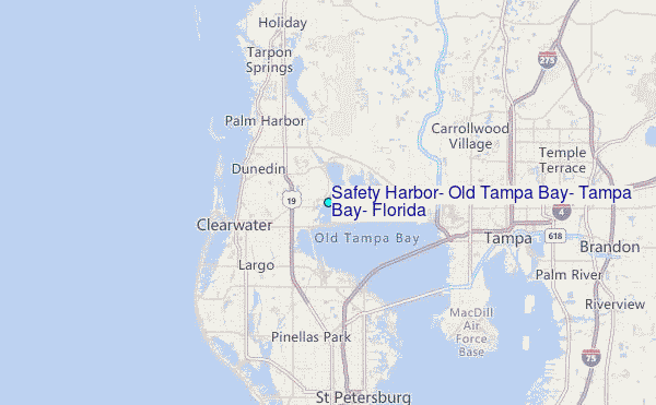
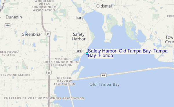
Choose Safety Harbor, Old Tampa Bay, Tampa Bay, Florida Location Map Zoom:
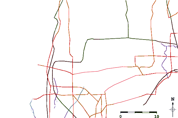
| Contours: | Roads & Rivers: | Select a
tide station / surf break / city |
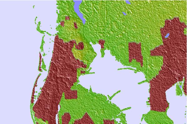
Use this relief map to navigate to tide stations, surf breaks and cities that are in the area of Safety Harbor, Old Tampa Bay, Tampa Bay, Florida.
Other Nearby Locations' tide tables and tide charts to Safety Harbor, Old Tampa Bay, Tampa Bay, Florida:
click location name for more details
 Surf breaks close to Safety Harbor, Old Tampa Bay, Tampa Bay, Florida:
|
||
|---|---|---|
| Closest surf break | Clearwater Pass | 9 mi |
| Second closest surf break | Sand Key Park | 9 mi |
| Third closest surf break | Clearwater Beach | 10 mi |
| Fourth closest surf break | Sand Key Jetty | 11 mi |
| Fifth closest surf break | Bellair Beach | 12 mi |


 Nearest
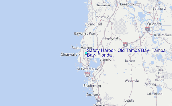