
| Distance / Altitude | Location | Report Date / Time | Live Weather | Wind | Gusts | Temp. | Visibility | Cloud |
|---|---|---|---|---|---|---|---|---|
| 29 km E / 3 m | BUOY-MTKN6 (Marine) | 2026-06-13 02:00 local (2026/06/13 06:00 GMT) | - (- km/h at -) | 20°C | - | |||
| 32 km SW / 216 m | Westhampton Beach/Francis S. Gabreski Airport (New York) | 2026-06-13 00:53 local (2026/06/13 04:53 GMT) | Clear | light winds from the NW (13 km/h at 310) | 24°C | 16 | ||
| 33 km ENE / 202 m | Montauk Airport (New York) | 2026-06-13 00:54 local (2026/06/13 04:54 GMT) | - | light winds from the W (13 km/h at 270) | 22°C | 0.0 | ||
| 42 km NNE / 218 m | Groton/New London Airport (Connecticut) | 2026-06-13 00:56 local (2026/06/13 04:56 GMT) | Clear | light winds from the WNW (13 km/h at 300) | 24°C | 16 | ||
| 44 km NNE / 3 m | BUOY-NLHC3 (Marine) | 2026-06-13 02:00 local (2026/06/13 06:00 GMT) | - (- km/h at -) | 24°C | - | |||
| 45 km NW / 219 m | Chester Airport (CT) (United States) | 2026-06-13 01:15 local (2026/06/13 05:15 GMT) | Clear | light winds from the W.(Wind varies from 250 to 310 degs) (17 km/h at 280) | 23°C | 16 | ||
| 52 km SW / 217 m | Shirley Airport (New York) | 2026-06-13 00:56 local (2026/06/13 04:56 GMT) | Clear | light winds from the NNW (13 km/h at 330) | 24°C | 16 | ||
| 56 km W / 218 m | New Haven/Tweed Airport (Connecticut) | 2026-06-13 00:53 local (2026/06/13 04:53 GMT) | Clear | light winds from the NW (7 km/h at 320) | 24°C | 16 | ||
| 57 km NE / 218 m | Westerly Airport (Rhode Island) | 2026-06-13 00:53 local (2026/06/13 04:53 GMT) | Clear | light winds from the N (9 km/h at 1) | 25°C | 16 | ||
| 60 km W / 3 m | BUOY-NWHC3 (Marine) | 2026-06-13 02:00 local (2026/06/13 06:00 GMT) | light winds from the N (13 km/h at 10) | 24°C | - |
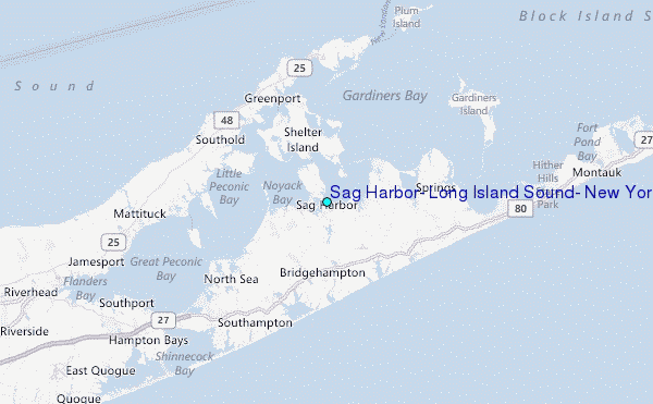
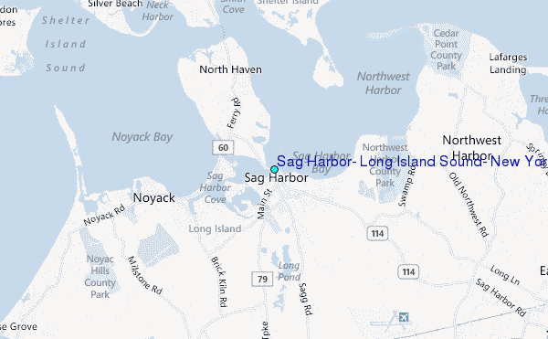
Choose Sag Harbor, Long Island Sound, New York Location Map Zoom:
| Contours: | Roads & Rivers: | Select a
tide station / surf break / city |
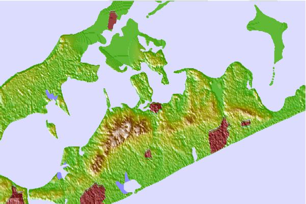
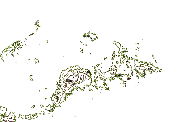
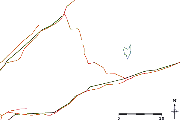
Use this relief map to navigate to tide stations, surf breaks and cities that are in the area of Sag Harbor, Long Island Sound, New York.
Other Nearby Locations' tide tables and tide charts to Sag Harbor, Long Island Sound, New York:
click location name for more details
 Surf breaks close to Sag Harbor, Long Island Sound, New York:
|
||
|---|---|---|
| Closest surf break | Georgica Pond | 6 mi |
| Second closest surf break | Georgica (East Hampton) | 7 mi |
| Third closest surf break | Indian Wells | 9 mi |
| Fourth closest surf break | Hitherhills | 13 mi |
| Fifth closest surf break | Flies | 14 mi |


 Nearest
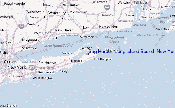