
| Distance / Altitude | Location | Report Date / Time | Live Weather | Wind | Gusts | Temp. | Visibility | Cloud |
|---|---|---|---|---|---|---|---|---|
| 21 km WSW / 881 m | Le Butor wx (Reunion) | 2026-07-09 23:28 local (2026/07/09 19:28 GMT) | dry | calm (0 km/h at 184) | 13°C | - | - - 0 | |
| 28 km WNW / 213 m | St. Denis/Gillot Airport (Comoros) | 2026-07-09 22:00 local (2026/07/09 18:00 GMT) | - | light winds from the SSE (17 km/h at 150) | — | 0.0 | ||
| 41 km SSW / 317 m | Aéroport de Saint-Pierre - Pierrefonds Airport (Comoros) | 2026-07-09 22:30 local (2026/07/09 18:30 GMT) | - | light winds from the NNE (9 km/h at 30) | — | 0.0 | ||
| 50 km WSW / 0 m | Plage Trou d'eau (Reunion) | 2026-07-09 23:00 local (2026/07/09 19:00 GMT) | - | calm (0 km/h at 64) | 21°C | - | - - 0 | |
| 59 km N / 15 m | ASCATB56E21S (Marine) | 2026-07-09 21:03 local (2026/07/09 17:03 GMT) | moderate winds from the E (27 km/h at 92) | — | - km | |||
| 68 km NNE / 15 m | ASCATC56E21S (Marine) | 2026-07-09 21:29 local (2026/07/09 17:29 GMT) | moderate winds from the ENE (27 km/h at 73) | — | - km | |||
| 83 km SE / 15 m | ASCATB56E22S (Marine) | 2026-07-09 21:03 local (2026/07/09 17:03 GMT) | fresh winds from the ENE (30 km/h at 70) | — | - km | |||
| 92 km SE / 15 m | ASCATC56E22S (Marine) | 2026-07-09 21:29 local (2026/07/09 17:29 GMT) | fresh winds from the ENE (29 km/h at 74) | — | - km | |||
| 93 km WNW / 15 m | ASCATB55E21S (Marine) | 2026-07-09 21:03 local (2026/07/09 17:03 GMT) | fresh winds from the E (30 km/h at 86) | — | - km | |||
| 95 km SSW / 15 m | ASCATB55E22S (Marine) | 2026-07-09 21:03 local (2026/07/09 17:03 GMT) | light winds from the E (17 km/h at 84) | — | - km |
| Contours: | Roads & Rivers: | Select a
tide station / surf break / city |
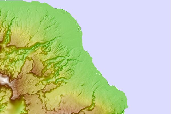

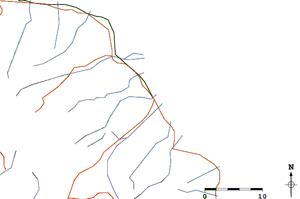
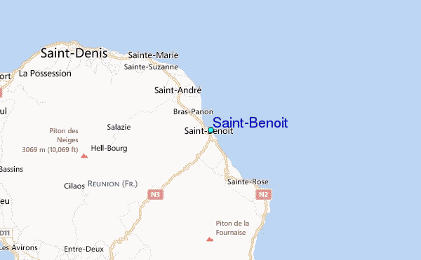
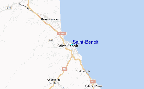
Use this relief map to navigate to tide stations, surf breaks and cities that are in the area of Saint-Benoit.
Other Nearby Locations' tide tables and tide charts to Saint-Benoit:
click location name for more details
 Surf breaks close to Saint-Benoit:
|
||
|---|---|---|
| Closest surf break | Saint-Benoit Lefts | 1 mi |
| Second closest surf break | Saint-Benoit Rights | 2 mi |
| Third closest surf break | Bois-Rouge | 11 mi |
| Fourth closest surf break | Saint-Marie | 15 mi |
| Fifth closest surf break | Le Butor | 18 mi |


 Nearest
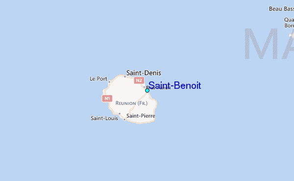