
| Distance / Altitude | Location | Report Date / Time | Live Weather | Wind | Gusts | Temp. | Visibility | Cloud |
|---|---|---|---|---|---|---|---|---|
| 11 km WNW / 3 m | BUOY-APCF1 (Marine) | 2026-06-09 06:18 local (2026/06/09 10:18 GMT) | calm (5 km/h at 20) | — | - | |||
| 13 km N / 3 m | BUOY-APXF1 (Marine) | 2026-06-09 06:00 local (2026/06/09 10:00 GMT) | calm (5 km/h at 80) | 26°C | - | |||
| 16 km WNW / 218 m | Apalachicola Airport (Florida) | 2026-06-09 04:53 local (2026/06/09 08:53 GMT) | Dry and cloudy | light winds from the ENE (9 km/h at 60) | 25°C | 16 | overcast | |
| 56 km ENE / 1 m | Alligator Point wx (United States) | 2026-06-09 06:29 local (2026/06/09 10:29 GMT) | dry | calm (5 km/h at 128) | 27°C | - | - - 0 | |
| 74 km WNW / 5 m | Tyndall Drone Airport (Florida) | 2026-06-09 04:55 local (2026/06/09 08:55 GMT) | Dry and cloudy | calm (0 km/h at 0) | 25°C | 16 | broken overcast | |
| 78 km S / 3 m | BUOY-42027 (Marine) | 2026-06-09 05:35 local (2026/06/09 09:35 GMT) | light winds from the E (11 km/h at 90) | 27°C | - | |||
| 79 km WNW / 215 m | Tyndall Air Force Base Airport (Florida) | 2026-06-09 04:55 local (2026/06/09 08:55 GMT) | Clear | calm (0 km/h at 0) | 25°C | 16 | ||
| 82 km S / - m | SHIP1058 (ocean) | 2026-06-09 05:00 local (2026/06/09 09:00 GMT) | - | light winds from the E (11 km/h at 80) | 27°C | - | no observation | |
| 82 km S / - m | SHIP2016 (ocean) | 2026-06-09 05:00 local (2026/06/09 09:00 GMT) | - | light winds from the E (11 km/h at 80) | 27°C | - | no observation | |
| 85 km WNW / 1 m | Parker wx (United States) | 2026-06-09 06:36 local (2026/06/09 10:36 GMT) | dry | calm (2 km/h at 39) | 25°C | - | - - 0 |
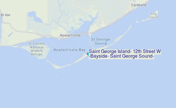
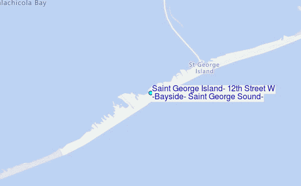
Choose Saint George Island, 12th Street W (Bayside), Saint George Sound, Florida Location Map Zoom:
| Contours: | Roads & Rivers: | Select a
tide station / surf break / city |
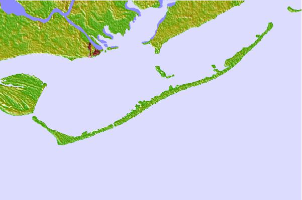

Use this relief map to navigate to tide stations, surf breaks and cities that are in the area of Saint George Island, 12th Street W (Bayside), Saint George Sound, Florida.
Other Nearby Locations' tide tables and tide charts to Saint George Island, 12th Street W (Bayside), Saint George Sound, Florida:
click location name for more details
 Surf breaks close to Saint George Island, 12th Street W (Bayside), Saint George Sound, Florida:
|
||
|---|---|---|
| Closest surf break | St George Island | 1 mi |
| Second closest surf break | Shell Island | 57 mi |
| Third closest surf break | The Pass | 60 mi |
| Fourth closest surf break | St Andrews State Park | 61 mi |
| Fifth closest surf break | Panama City Beach | 63 mi |


 Nearest
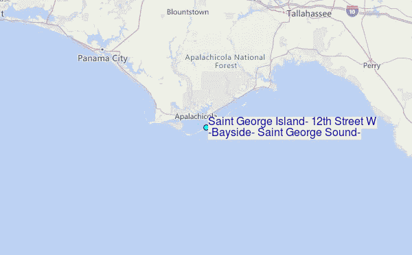