
| Distance / Altitude | Location | Report Date / Time | Live Weather | Wind | Gusts | Temp. | Visibility | Cloud |
|---|---|---|---|---|---|---|---|---|
| 1 km ESE / 27 m | Saint Helier wx (Jersey) | 2026-07-09 23:38 local (2026/07/09 22:38 GMT) | dry | light winds from the NE (13 km/h at 42) | 24°C | - | - - 0 | |
| 2 km NNE / 54 m | Saint Helier (United Kingdom) | 2026-07-09 23:00 local (2026/07/09 22:00 GMT) | - | - (- km/h at -) | — | - | - | |
| 7 km W / 548 m | Jersey Airport (United Kingdom) | 2026-07-09 22:20 local (2026/07/09 21:20 GMT) | Dry and partly cloudy | moderate winds from the E (24 km/h at 90) | 24°C | 10.0 | no cloud - - | |
| 43 km WNW / 5 m | Sun Yachts (Guernsey) | 2026-07-09 23:00 local (2026/07/09 22:00 GMT) | - | light winds from the NNE (6 km/h at 28) | 21°C | - | - - 0 | |
| 44 km WNW / 170 m | Guernsey Airport (United Kingdom) | 2026-07-09 21:50 local (2026/07/09 20:50 GMT) | - | light winds from the ENE (11 km/h at 70) | — | 0.0 | ||
| 45 km WNW / 102 m | Guernsey Airport (United Kingdom) | 2026-07-09 23:00 local (2026/07/09 22:00 GMT) | no report | moderate winds from the NE (20 km/h at 50) | 17°C | 30 | - | |
| 47 km ESE / 6 m | Ass Nautique Hautais (France) | 2026-07-09 23:00 local (2026/07/09 22:00 GMT) | - | fresh winds from the E (30 km/h at 90) | 24°C | - | - - 0 | |
| 53 km NNE / 140 m | Vauville (France) | 2026-07-09 23:00 local (2026/07/09 22:00 GMT) | - | strong winds from the E (46 km/h at 84) | 22°C | - | - - 0 | |
| 58 km NNE / 46 m | Pointe de la hague (France) | 2026-07-09 23:00 local (2026/07/09 22:00 GMT) | - | strong winds from the E (39 km/h at 92) | 20°C | - | - - 0 | |
| 60 km S / 10 m | St Lunaire (France) | 2026-07-09 23:00 local (2026/07/09 22:00 GMT) | - | moderate winds from the NNE (28 km/h at 14) | 21°C | - | - - 0 |
Choose Saint Helier, Jersey, Channel Islands Location Map Zoom:
| Contours: | Roads & Rivers: | Select a
tide station / surf break / city |
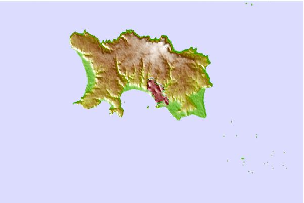
Use this relief map to navigate to tide stations, surf breaks and cities that are in the area of Saint Helier, Jersey, Channel Islands.
Other Nearby Locations' tide tables and tide charts to Saint Helier, Jersey, Channel Islands:
click location name for more details
 Surf breaks close to Saint Helier, Jersey, Channel Islands:
|
||
|---|---|---|
| Closest surf break | St Brelade's Bay | 3 mi |
| Second closest surf break | St Ouen's Bay - Les Brayes | 5 mi |
| Third closest surf break | Corbiere Reef | 6 mi |
| Fourth closest surf break | Greve de Lacq | 6 mi |
| Fifth closest surf break | Petit Port | 6 mi |


 Nearest