
| Distance / Altitude | Location | Report Date / Time | Live Weather | Wind | Gusts | Temp. | Visibility | Cloud |
|---|---|---|---|---|---|---|---|---|
| 5 km SE / 2 m | thunderstorm affecting Sanibel (United States) | 2026-07-26 09:33 local (2026/07/26 13:33 GMT) | Thunderstorm | (- km/h at -) | — | |||
| 9 km E / 2 m | thunderstorm affecting Punta Rassa (United States) | 2026-07-26 08:47 local (2026/07/26 12:47 GMT) | Thunderstorm | (- km/h at -) | — | |||
| 12 km E / 2 m | thunderstorm affecting Iona (United States) | 2026-07-26 08:47 local (2026/07/26 12:47 GMT) | Thunderstorm | (- km/h at -) | — | |||
| 16 km SE / 0 m | lightning 7km SSW of Fort Myers Beach (United States) | 2026-07-26 08:47 local (2026/07/26 12:47 GMT) | Thunderstorm | (- km/h at -) | — | |||
| 18 km E / 2 m | thunderstorm affecting Cypress Lake (United States) | 2026-07-26 08:49 local (2026/07/26 12:49 GMT) | Thunderstorm | (- km/h at -) | — | |||
| 20 km NE / 4 m | thunderstorm affecting Cape Coral (United States) | 2026-07-26 08:48 local (2026/07/26 12:48 GMT) | Thunderstorm | (- km/h at -) | — | |||
| 20 km E / 2 m | lightning 5km ESE of Harlem Heights (United States) | 2026-07-26 08:18 local (2026/07/26 12:18 GMT) | Thunderstorm | (- km/h at -) | — | |||
| 22 km NE / 2 m | thunderstorm affecting Lochmoor Waterway Estates (United States) | 2026-07-26 08:34 local (2026/07/26 12:34 GMT) | Thunderstorm | (- km/h at -) | — | |||
| 23 km E / 4 m | thunderstorm affecting Villas (United States) | 2026-07-26 09:03 local (2026/07/26 13:03 GMT) | Thunderstorm | (- km/h at -) | — | |||
| 23 km ENE / 218 m | Fort Myers Airport (Florida) | 2026-07-26 08:43 local (2026/07/26 12:43 GMT) | Thunderstorm light rain thunderstorm | light winds from the W (17 km/h at 280) | 24°C | 6 | broken broken |
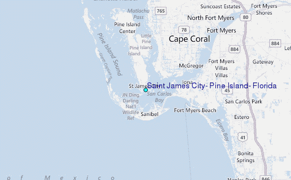
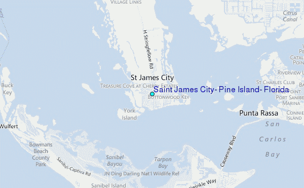
Choose Saint James City, Pine Island, Florida Location Map Zoom:
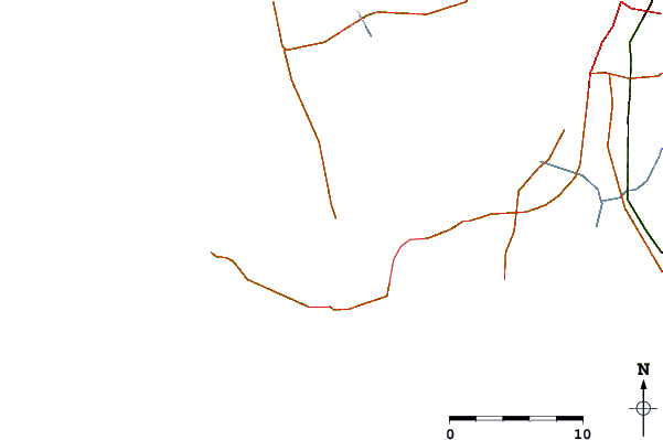
| Contours: | Roads & Rivers: | Select a
tide station / surf break / city |
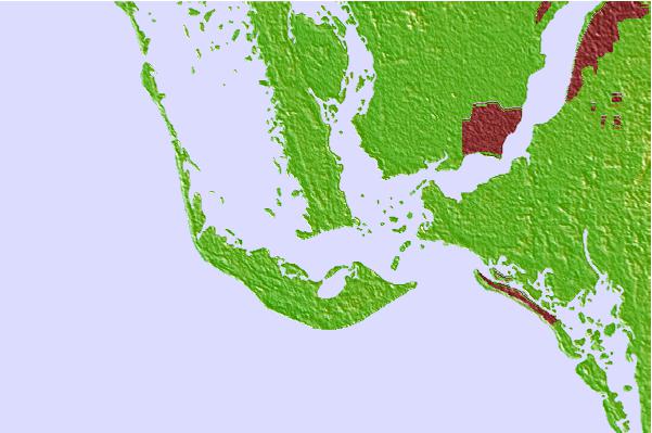
Use this relief map to navigate to tide stations, surf breaks and cities that are in the area of Saint James City, Pine Island, Florida.
Other Nearby Locations' tide tables and tide charts to Saint James City, Pine Island, Florida:
click location name for more details
 Surf breaks close to Saint James City, Pine Island, Florida:
|
||
|---|---|---|
| Closest surf break | Wiggins Pass | 21 mi |
| Second closest surf break | Naples Pier | 34 mi |
| Third closest surf break | Venice North and South Jetty | 45 mi |
| Fourth closest surf break | Point o Rocks | 58 mi |
| Fifth closest surf break | Turtle Beach | 68 mi |


 Nearest
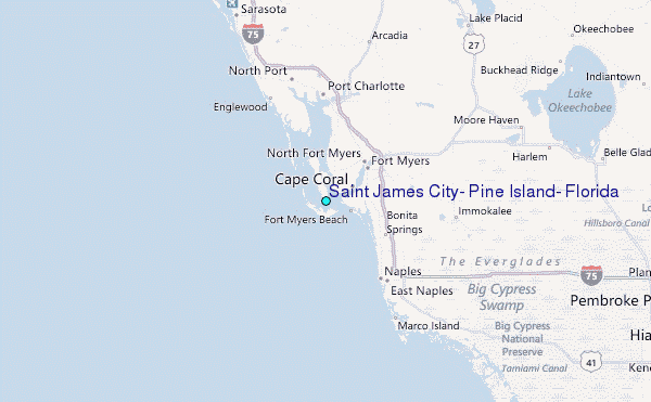