
| Distance / Altitude | Location | Report Date / Time | Live Weather | Wind | Gusts | Temp. | Visibility | Cloud |
|---|---|---|---|---|---|---|---|---|
| 3 km SSW / 217 m | Mayport Naval Air Station Airport (Florida) | 2026-07-28 08:52 local (2026/07/28 12:52 GMT) | Dry and cloudy | light winds from the NW (11 km/h at 310) | 28°C | 11 | scattered overcast | |
| 3 km WSW / 3 m | BUOY-MYPF1 (Marine) | 2026-07-28 10:00 local (2026/07/28 14:00 GMT) | light winds from the W (9 km/h at 280) | 28°C | - | |||
| 6 km SW / 3 m | BUOY-LTJF1 (Marine) | 2026-07-28 10:00 local (2026/07/28 14:00 GMT) | - (- km/h at -) | 28°C | - | |||
| 9 km E / 15 m | SHIP4722 (Marine) | 2026-07-28 10:00 local (2026/07/28 14:00 GMT) | - (- km/h at -) | — | - km | |||
| 9 km E / 3 m | SHIP1046 (Marine) | 2026-07-28 09:00 local (2026/07/28 13:00 GMT) | - (- km/h at -) | 29°C | - | |||
| 9 km E / 3 m | SHIP6743 (Marine) | 2026-07-28 08:00 local (2026/07/28 12:00 GMT) | - (- km/h at -) | 28°C | - | |||
| 9 km E / 3 m | SHIP7155 (Marine) | 2026-07-28 08:00 local (2026/07/28 12:00 GMT) | - (- km/h at -) | 28°C | - | |||
| 9 km E / 3 m | SHIP1605 (Marine) | 2026-07-28 08:00 local (2026/07/28 12:00 GMT) | - (- km/h at -) | 28°C | - | |||
| 9 km E / 3 m | SHIP10003 (Marine) | 2026-07-28 08:00 local (2026/07/28 12:00 GMT) | - (- km/h at -) | 28°C | - | |||
| 9 km E / 3 m | SHIP2211 (Marine) | 2026-07-28 08:00 local (2026/07/28 12:00 GMT) | - (- km/h at -) | 28°C | - |
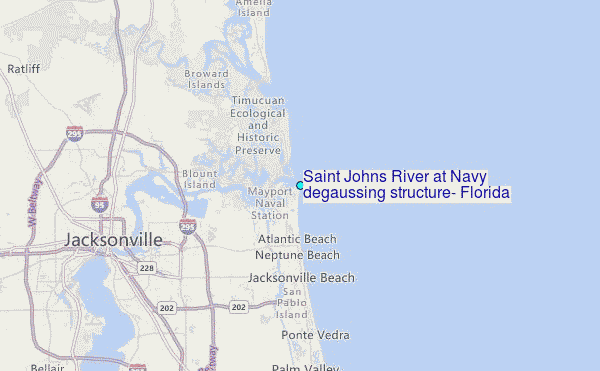
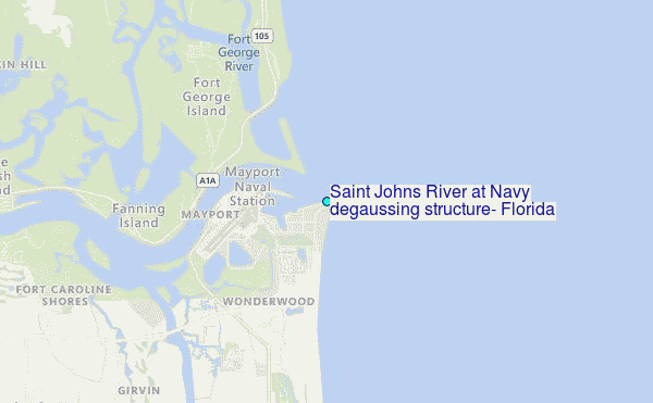
Choose Saint Johns River at Navy degaussing structure, Florida Location Map Zoom:
| Contours: | Roads & Rivers: | Select a
tide station / surf break / city |
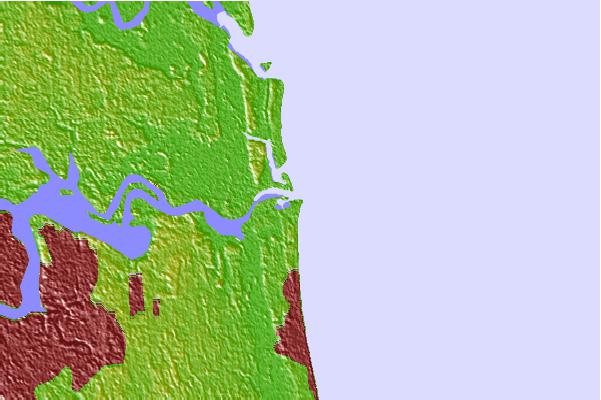
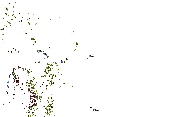
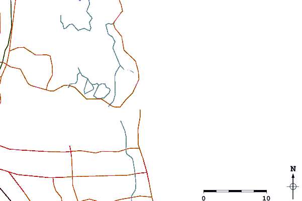
Use this relief map to navigate to tide stations, surf breaks and cities that are in the area of Saint Johns River at Navy degaussing structure, Florida.
Other Nearby Locations' tide tables and tide charts to Saint Johns River at Navy degaussing structure, Florida:
click location name for more details
 Surf breaks close to Saint Johns River at Navy degaussing structure, Florida:
|
||
|---|---|---|
| Closest surf break | North Jetty | 1 mi |
| Second closest surf break | Hanna Park/Mayport Poles | 1 mi |
| Third closest surf break | The Barge | 1 mi |
| Fourth closest surf break | The Mayport Poles | 1 mi |
| Fifth closest surf break | The Shoals | 2 mi |


 Nearest
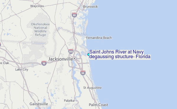