
| Distance / Altitude | Location | Report Date / Time | Live Weather | Wind | Gusts | Temp. | Visibility | Cloud |
|---|---|---|---|---|---|---|---|---|
| 10 km ENE / 218 m | Vancouver Airport (Washington) | 2026-05-25 12:53 local (2026/05/25 19:53 GMT) | Dry and cloudy | light winds from the WSW (17 km/h at 240) | 19°C | 16 | overcast | |
| 13 km E / 218 m | Portland Airport (Oregon) | 2026-05-25 12:53 local (2026/05/25 19:53 GMT) | Dry and partly cloudy | moderate winds from the SSW (26 km/h at 210) | 19°C | 16 | broken broken | |
| 15 km SW / 218 m | Hillsboro/Portland Airport (Oregon) | 2026-05-25 12:53 local (2026/05/25 19:53 GMT) | Dry and cloudy | light winds from the SSW (15 km/h at 200) | 17°C | 16 | broken broken overcast | |
| 22 km NW / 219 m | Scappoose Airport (Oregon) | 2026-05-25 12:53 local (2026/05/25 19:53 GMT) | Dry and cloudy | moderate winds from the SW (20 km/h at 220) | 17°C | 16 | broken overcast | |
| 23 km S / 70 m | Tualatin (Oregon) | 2026-05-25 14:44 local (2026/05/25 21:44 GMT) | dry | light winds from the NW (6 km/h at 310) | 24°C | - | - - 0 | |
| 28 km E / 218 m | Troutdale Airport (Oregon) | 2026-05-25 12:53 local (2026/05/25 19:53 GMT) | Dry and cloudy | wind obs. (17 kph from 170 degs) was rejected (- km/h at -) | 19°C | 16 | overcast | |
| 32 km S / 177 m | Springbrook wx (United States) | 2026-05-25 14:31 local (2026/05/25 21:31 GMT) | dry | calm (0 km/h at 98) | 25°C | - | - - 0 | |
| 37 km S / 214 m | Aurora Airport (Oregon) | 2026-05-25 12:53 local (2026/05/25 19:53 GMT) | Dry and partly cloudy | light winds from the SSW (17 km/h at 210) | 17°C | 16 | broken | |
| 44 km N / 3 m | BUOY-KLMW1 (Marine) | 2026-05-25 14:00 local (2026/05/25 21:00 GMT) | - (- km/h at -) | — | - | |||
| 51 km SSW / 207 m | Mcminnville Airport (Oregon) | 2026-05-25 12:53 local (2026/05/25 19:53 GMT) | Light rain | light winds from the WSW (17 km/h at 250) | 14°C | 16 | scattered overcast |
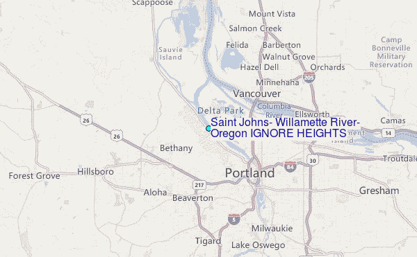
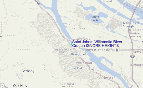
Choose Saint Johns, Willamette River, Oregon IGNORE HEIGHTS Location Map Zoom:
| Contours: | Roads & Rivers: | Select a
tide station / surf break / city |
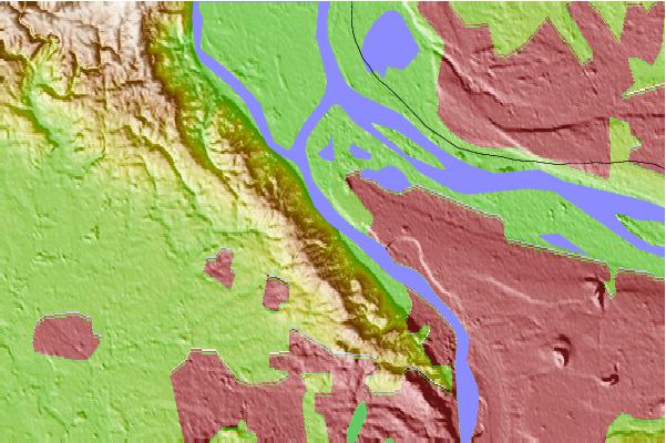
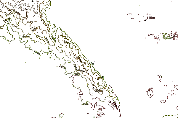
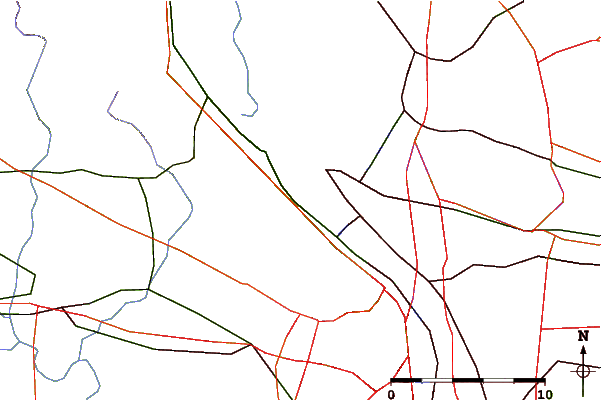
Use this relief map to navigate to tide stations, surf breaks and cities that are in the area of Saint Johns, Willamette River, Oregon IGNORE HEIGHTS.
Other Nearby Locations' tide tables and tide charts to Saint Johns, Willamette River, Oregon IGNORE HEIGHTS:
click location name for more details
 Surf breaks close to Saint Johns, Willamette River, Oregon IGNORE HEIGHTS:
|
||
|---|---|---|
| Closest surf break | Manzanita | 57 mi |
| Second closest surf break | Rockaway | 57 mi |
| Third closest surf break | Barview Jetty | 58 mi |
| Fourth closest surf break | Neakahine Point | 58 mi |
| Fifth closest surf break | Smugglers Cove | 59 mi |


 Nearest
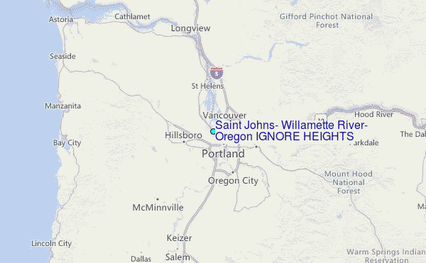