
| Distance / Altitude | Location | Report Date / Time | Live Weather | Wind | Gusts | Temp. | Visibility | Cloud |
|---|---|---|---|---|---|---|---|---|
| 59 km ESE / 2 m | Cap-haitien Airport (Haiti) | 2026-07-09 17:00 local (2026/07/09 21:00 GMT) | Thunderstorm moderate rain thunderstorm | light winds from the W (7 km/h at 260) | 26°C | 7.0 | scattered broken | |
| 180 km ESE / 64 m | Mao (Dominican Republic) | 2026-07-09 16:46 local (2026/07/09 20:46 GMT) | dry | light winds from the SE (10 km/h at 129) | 29°C | - | - - 0 | |
| 208 km NNE / 296 m | Providenciales Airport (Bahamas) | 2026-07-09 17:00 local (2026/07/09 21:00 GMT) | Dry and partly cloudy | light winds from the E (15 km/h at 80) | 31°C | 10.0 | scattered | |
| 214 km NNE / 1 m | Kingston wx (Turks and Caicos Islands) | 2026-07-09 18:23 local (2026/07/09 22:23 GMT) | dry | fresh winds from the SE (32 km/h at 125) | 29°C | - | - - 0 | |
| 218 km ESE / 209 m | Santiago International Airport (Dominican Republic) | 2026-07-09 17:00 local (2026/07/09 21:00 GMT) | Dry and partly cloudy | light winds from the E.(Wind varies from 050 to 130 degs) (15 km/h at 90) | 29°C | 10.0 | few scattered broken | |
| 226 km E / 466 m | Puerto Plata IN Airport (Dominican Republic) | 2026-07-09 17:00 local (2026/07/09 21:00 GMT) | Dry and partly cloudy | light winds from the ESE (19 km/h at 120) | 29°C | 10.0 | few scattered broken | |
| 233 km NNE / 0 m | Sandy Point (Turks and Caicos Islands) | 2026-07-09 18:11 local (2026/07/09 22:11 GMT) | dry | wind obs. (0 kph from 92 degs) was rejected (- km/h at -) | 29°C | - | - - 0 | |
| 248 km ESE / 200 m | Los Zanjón wx (Dominican Republic) | 2026-07-09 16:14 local (2026/07/09 20:14 GMT) | dry | calm (3 km/h at 293) | 28°C | - | - - 0 | |
| 256 km SE / 360 m | Barahona Airport (Dominican Republic) | 2026-07-09 17:00 local (2026/07/09 21:00 GMT) | - | moderate winds from the SE (26 km/h at 130) | 30°C | 10.0 | few few scattered | |
| 262 km WSW / 203 m | Guantanamo Bay Airport (Cuba) | 2026-07-09 16:51 local (2026/07/09 20:51 GMT) | - | fresh winds from the E (33 km/h at 80) | 33°C | 14 | few few |
| Contours: | Roads & Rivers: | Select a
tide station / surf break / city |
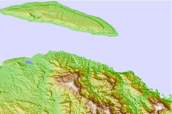
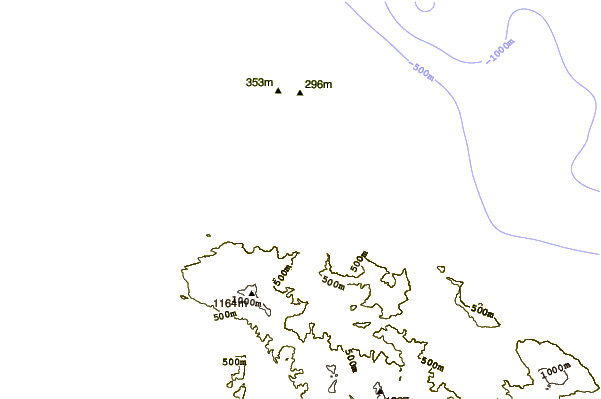
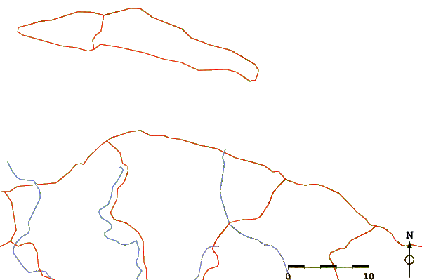
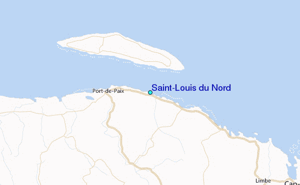
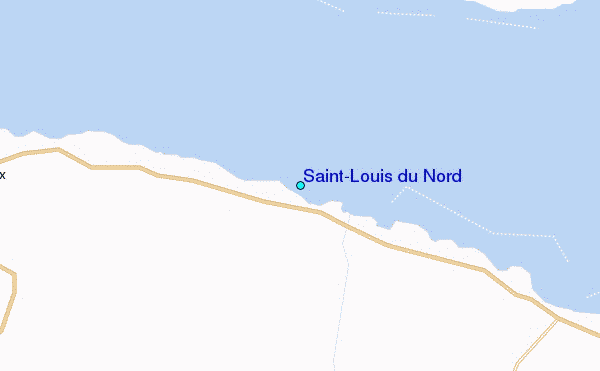
Use this relief map to navigate to tide stations, surf breaks and cities that are in the area of Saint-Louis du Nord.
Other Nearby Locations' tide tables and tide charts to Saint-Louis du Nord:
click location name for more details
 Surf breaks close to Saint-Louis du Nord:
|
||
|---|---|---|
| Closest surf break | Jacmel | 119 mi |
| Second closest surf break | Tea Break | 128 mi |
| Third closest surf break | Coffee Break | 132 mi |
| Fourth closest surf break | La Puntilla (Puerto Plata) | 132 mi |
| Fifth closest surf break | Grace Bay Cut (Providenciales) | 133 mi |


 Nearest
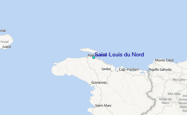