
| Distance / Altitude | Location | Report Date / Time | Live Weather | Wind | Gusts | Temp. | Visibility | Cloud |
|---|---|---|---|---|---|---|---|---|
| 1 km N / 5 m | Sun Yachts (Guernsey) | 2026-07-09 22:00 local (2026/07/09 21:00 GMT) | - | light winds from the NE (13 km/h at 42) | 20°C | - | - - 0 | |
| 5 km SW / 102 m | Guernsey Airport (United Kingdom) | 2026-07-09 21:00 local (2026/07/09 20:00 GMT) | no report | moderate winds from the NE (20 km/h at 50) | 17°C | 30 | - | |
| 6 km SSW / 170 m | Guernsey Airport (United Kingdom) | 2026-07-09 20:50 local (2026/07/09 19:50 GMT) | - | light winds from the ENE (11 km/h at 60) | — | 0.0 | ||
| 35 km SE / 548 m | Jersey Airport (United Kingdom) | 2026-07-09 21:20 local (2026/07/09 20:20 GMT) | - | moderate winds from the E.(Wind varies from 050 to 110 degs) (24 km/h at 80) | — | 0.0 | - - - | |
| 42 km SE / 54 m | Saint Helier (United Kingdom) | 2026-07-09 21:00 local (2026/07/09 20:00 GMT) | - | - (- km/h at -) | — | - | - | |
| 44 km SE / 27 m | Saint Helier wx (Jersey) | 2026-07-09 21:34 local (2026/07/09 20:34 GMT) | dry | light winds from the NE (11 km/h at 40) | 26°C | - | - - 0 | |
| 51 km ENE / 46 m | Pointe de la hague (France) | 2026-07-09 22:00 local (2026/07/09 21:00 GMT) | - | fresh winds from the E (35 km/h at 97) | 21°C | - | - - 0 | |
| 53 km NE / 8 m | Pte DE LA Hague (France) | 2026-07-09 21:00 local (2026/07/09 20:00 GMT) | no report | moderate winds from the ENE (25 km/h at 60) | 16°C | - | - - - | |
| 55 km ENE / 140 m | Vauville (France) | 2026-07-09 22:00 local (2026/07/09 21:00 GMT) | - | strong winds from the ENE (44 km/h at 71) | 22°C | - | - - 0 | |
| 57 km NW / 3 m | Channel Islands Buoy (Marine) | 2026-07-09 21:00 local (2026/07/09 20:00 GMT) | light winds from the NE (17 km/h at 50) | 19°C | - |
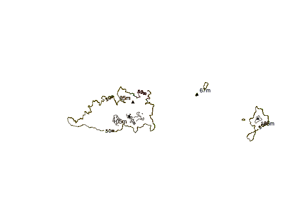
| Contours: | Roads & Rivers: | Select a
tide station / surf break / city |
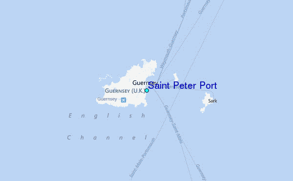
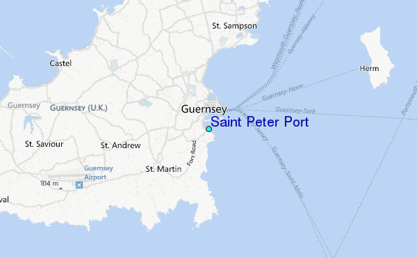
Use this relief map to navigate to tide stations, surf breaks and cities that are in the area of Saint Peter Port.
Other Nearby Locations' tide tables and tide charts to Saint Peter Port:
click location name for more details
 Surf breaks close to Saint Peter Port:
|
||
|---|---|---|
| Closest surf break | Portinfer | 4 mi |
| Second closest surf break | Vazon Bay - T'Otherside | 4 mi |
| Third closest surf break | Vazon Bay - Reef | 4 mi |
| Fourth closest surf break | Vazon Bay | 4 mi |
| Fifth closest surf break | Fort Le Marchant | 4 mi |


 Nearest
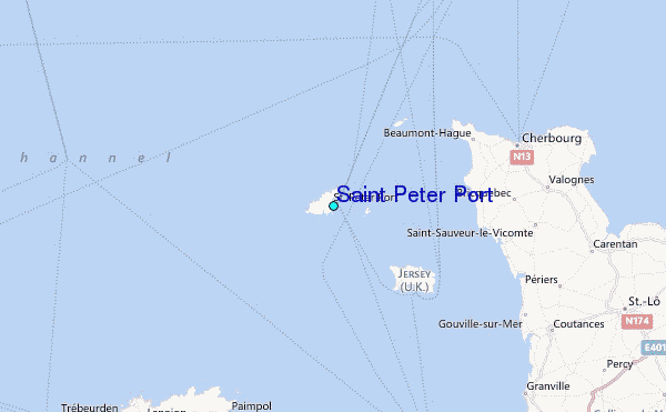