
| Distance / Altitude | Location | Report Date / Time | Live Weather | Wind | Gusts | Temp. | Visibility | Cloud |
|---|---|---|---|---|---|---|---|---|
| 23 km ENE / 215 m | Salvador/Dois de Julho Airport (Brazil) | 2026-07-09 17:00 local (2026/07/09 20:00 GMT) | - | light winds from the E (15 km/h at 90) | 26°C | 10.0 | few | |
| 199 km S / 80 m | Ilheus (86699 -0) (Brazil) | 2026-07-09 18:00 local (2026/07/09 21:00 GMT) | no report | calm (4 km/h at 270) | 20°C | - | - | |
| 210 km S / 200 m | Ilheus Airport (Brazil) | 2026-07-09 17:00 local (2026/07/09 20:00 GMT) | Dry and partly cloudy | light winds from the SE (11 km/h at 140) | 27°C | 10.0 | scattered | |
| 263 km S / 84 m | Una (Brazil) | 2026-07-09 18:00 local (2026/07/09 21:00 GMT) | no report | calm (4 km/h at 210) | 21°C | - | - | |
| 270 km NE / 9 m | Aracaju (Aero) (Brazil) | 2026-07-09 18:00 local (2026/07/09 21:00 GMT) | rain | moderate winds from the SE (20 km/h at 130) | 26°C | 20 | - | |
| 272 km NE / 215 m | Aracaju/Santa Maria General Airport (Brazil) | 2026-07-09 17:00 local (2026/07/09 20:00 GMT) | - | light winds from the SE (13 km/h at 140) | 26°C | 10.0 | few | |
| 305 km WSW / 511 m | Lencois Chapada Airport (Brazil) | 2026-07-09 17:00 local (2026/07/09 20:00 GMT) | - | light winds from the ENE (6 km/h at 70) | — | |||
| 373 km NNE / 20 m | Pao DE Acucar (81994 -0) (Brazil) | 2026-07-09 18:00 local (2026/07/09 21:00 GMT) | no report | calm (0 km/h at 140) | 23°C | - | - | |
| 388 km S / 51 m | Porto Seguro Airport (Brazil) | 2026-07-09 18:00 local (2026/07/09 21:00 GMT) | Dry and partly cloudy | light winds from the ESE (11 km/h at 110) | 23°C | 10.0 | scattered broken - | |
| 396 km N / 361 m | Paulo Afonso Airport (Brazil) | 2026-07-09 17:00 local (2026/07/09 20:00 GMT) | - | light winds from the ESE (17 km/h at 110) | — | 0.0 |
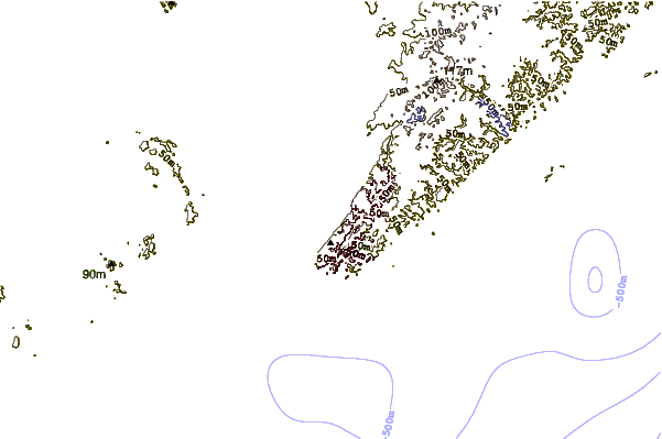
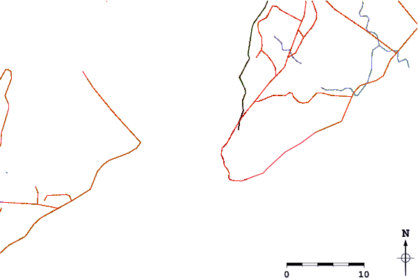
| Contours: | Roads & Rivers: | Select a
tide station / surf break / city |
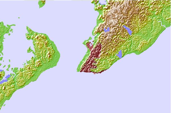
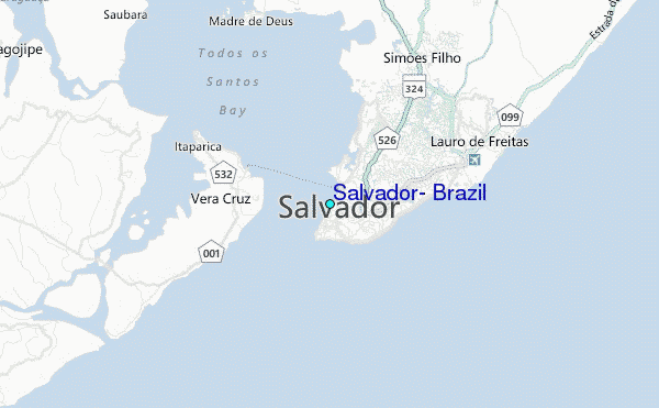
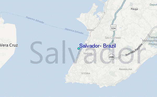
Use this relief map to navigate to tide stations, surf breaks and cities that are in the area of Salvador, Brazil.
Other Nearby Locations' tide tables and tide charts to Salvador, Brazil:
click location name for more details
 Surf breaks close to Salvador, Brazil:
|
||
|---|---|---|
| Closest surf break | Barra Vento | 3 mi |
| Second closest surf break | Espanhol | 3 mi |
| Third closest surf break | Farol da Barra | 3 mi |
| Fourth closest surf break | Tony | 4 mi |
| Fifth closest surf break | Amaralina | 4 mi |


 Nearest
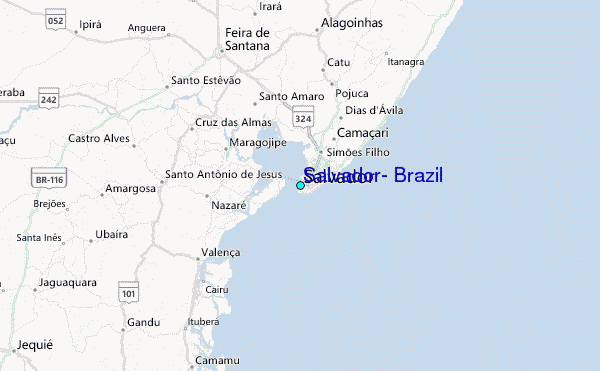