
| Distance / Altitude | Location | Report Date / Time | Live Weather | Wind | Gusts | Temp. | Visibility | Cloud |
|---|---|---|---|---|---|---|---|---|
| 73 km E / 3 m | BUOY-22105 South Korea (Marine) | 2026-07-10 04:00 local (2026/07/09 19:00 GMT) | fresh winds from the SSW (32 km/h at 200) | 24°C | - | |||
| 73 km E / 15 m | SHIP6836 (Marine) | 2026-07-10 02:00 local (2026/07/09 17:00 GMT) | fresh winds from the S (32.4 km/h at 190) | 22°C | - km | |||
| 117 km W / 165 m | Hongcheon Airport (South Korea) | 2026-07-10 03:40 local (2026/07/09 18:40 GMT) | Shower heavy rain shower | calm (2 km/h at 130) | 21°C | 2.0 | overcast | |
| 127 km WNW / 710 m | Yangku Airport (Korea) | 2026-07-10 03:00 local (2026/07/09 18:00 GMT) | - | wind obs. (13 kph from 260 degs) was rejected (- km/h at -) | 26°C | 10.0 | ||
| 129 km SSE / 3 m | BUOY-22106 South Korea (Marine) | 2026-07-10 04:00 local (2026/07/09 19:00 GMT) | fresh winds from the SSW (32 km/h at 200) | 21°C | - | |||
| 74 km E / 15 m | SHIP2048 (Marine) | 2026-07-10 03:00 local (2026/07/09 18:00 GMT) | moderate winds from the SSW (25.2 km/h at 200) | 22°C | - km | |||
| 74 km E / 15 m | SHIP1430 (Marine) | 2026-07-10 04:00 local (2026/07/09 19:00 GMT) | fresh winds from the SSW (32.4 km/h at 200) | 22°C | - km | |||
| 117 km W / 165 m | Hongcheon Airport (South Korea) | 2026-07-10 03:40 local (2026/07/09 18:40 GMT) | Shower heavy rain shower | calm (2 km/h at 130) | 21°C | 2.0 | overcast | |
| 120 km ESE / 15 m | SHIP2654 (Marine) | 2026-07-10 03:00 local (2026/07/09 18:00 GMT) | fresh winds from the SSW (31.680000000000003 km/h at 210) | — | - km | |||
| 120 km ESE / 15 m | SHIP6147 (Marine) | 2026-07-10 03:00 local (2026/07/09 18:00 GMT) | fresh winds from the SSW (31.680000000000003 km/h at 210) | — | - km |
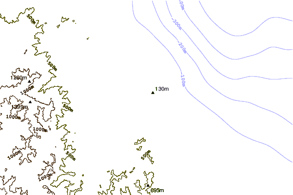
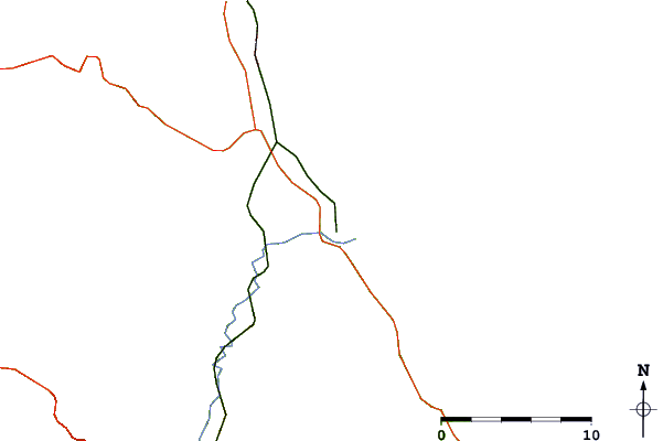
| Contours: | Roads & Rivers: | Select a
tide station / surf break / city |
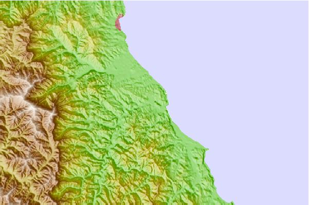
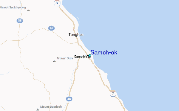
Use this relief map to navigate to tide stations, surf breaks and cities that are in the area of Samch'ok.
Other Nearby Locations' tide tables and tide charts to Samch'ok:
click location name for more details
 Surf breaks close to Samch'ok:
|
||
|---|---|---|
| Closest surf break | Gyongpo Beach | 29 mi |
| Second closest surf break | Jumunjin | 36 mi |
| Third closest surf break | Ingu Beach | 45 mi |
| Fourth closest surf break | 38 Line | 46 mi |
| Fifth closest surf break | Songdojin ni | 91 mi |


 Nearest
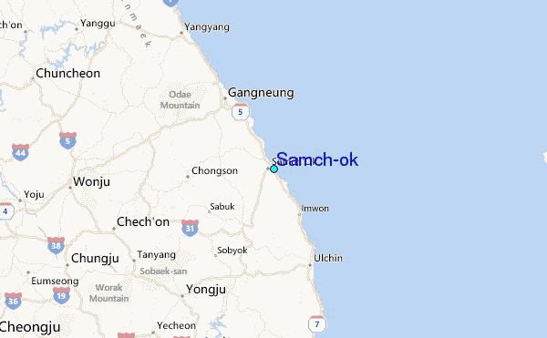