
| Distance / Altitude | Location | Report Date / Time | Live Weather | Wind | Gusts | Temp. | Visibility | Cloud |
|---|---|---|---|---|---|---|---|---|
| 63 km S / 89 m | Montería/Los Garzones Airport (Columbia) | 2026-07-09 13:00 local (2026/07/09 18:00 GMT) | - | light winds from the S.(Wind varies from 080 to 250 degs) (6 km/h at 180) | 28°C | 10.0 | few | |
| 120 km NNE / 201 m | Cartagena/Rafael Airport (Columbia) | 2026-07-09 13:00 local (2026/07/09 18:00 GMT) | Dry and partly cloudy | light winds from the NNW (15 km/h at 330) | 31°C | 10.0 | scattered | |
| 121 km NNE / 6 m | Rafael Nuñez wx (Colombia) | 2026-07-09 14:38 local (2026/07/09 19:38 GMT) | - | moderate winds from the NE (24 km/h at 35) | 28°C | - | - - 0 | |
| 161 km NW / 0 m | lightning 101km WNW of Cartagena (Colombia) | 2026-07-09 13:33 local (2026/07/09 18:33 GMT) | Thunderstorm | (- km/h at -) | — | |||
| 199 km SW / 48 m | Puerto Obaldía wx (Panama) | 2026-07-09 14:48 local (2026/07/09 19:48 GMT) | dry | calm (2 km/h at 321) | 29°C | - | - - 0 | |
| 200 km NNE / 206 m | Barranquilla/Ernesto Cortissoz International Airport (Columbia) | 2026-07-09 13:00 local (2026/07/09 18:00 GMT) | - | light winds from the S (19 km/h at 180) | — | 0.0 | ||
| 205 km S / 78 m | Apartadó-Antonio Roldán Betancourt Airport (Columbia) | 2026-07-09 13:00 local (2026/07/09 18:00 GMT) | Dry and partly cloudy | calm (4 km/h at 1) | 26°C | 10.0 | scattered | |
| 256 km NE / 96 m | Santa Marta/Simón Bolívar International Airport (Columbia) | 2026-07-09 13:00 local (2026/07/09 18:00 GMT) | Dry and partly cloudy | light winds from the SW.(Wind varies from 190 to 250 degs) (7 km/h at 230) | 31°C | 10.0 | few scattered | |
| 260 km NE / 4 m | Gaira wx (Colombia) | 2026-07-09 14:44 local (2026/07/09 19:44 GMT) | dry | calm (3 km/h at 4) | 32°C | - | - - 0 | |
| 263 km SW / 67 m | Metetí wx (Panama) | 2026-07-09 14:48 local (2026/07/09 19:48 GMT) | dry | calm (2 km/h at 164) | 30°C | - | - - 0 |
| Contours: | Roads & Rivers: | Select a
tide station / surf break / city |
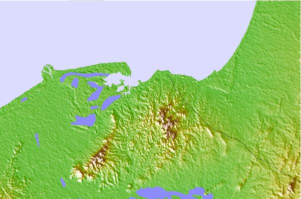
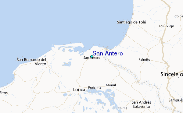
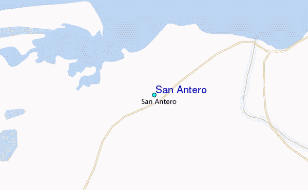
Use this relief map to navigate to tide stations, surf breaks and cities that are in the area of San Antero.
Other Nearby Locations' tide tables and tide charts to San Antero:
click location name for more details
 Surf breaks close to San Antero:
|
||
|---|---|---|
| Closest surf break | Miramar | 22 mi |
| Second closest surf break | Colpipe | 29 mi |
| Third closest surf break | Cartagena - Jetty | 71 mi |
| Fourth closest surf break | Cartagena - Castillo Grande | 71 mi |
| Fifth closest surf break | Cartagena - Hilton | 71 mi |


 Nearest
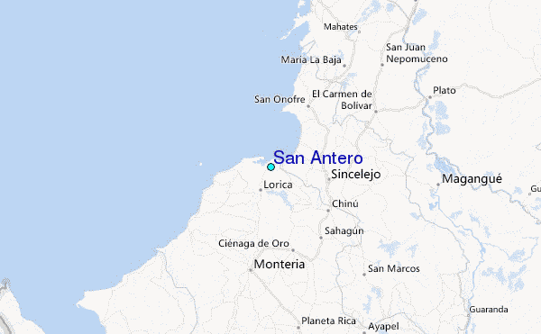