
| Distance / Altitude | Location | Report Date / Time | Live Weather | Wind | Gusts | Temp. | Visibility | Cloud |
|---|---|---|---|---|---|---|---|---|
| 16 km NW / 3 m | Tanapag Buoy- Saipan (Marine) | 2026-07-10 05:00 local (2026/07/09 19:00 GMT) | - (- km/h at -) | 28°C | - | |||
| 193 km S / 217 m | Mariana/Andersen Airport (Guam) | 2026-07-10 04:25 local (2026/07/09 18:25 GMT) | - | calm (0 km/h at 0) | 26°C | 14 | few few | |
| 206 km S / 36 m | Tamuning (Guam) | 2026-07-10 05:11 local (2026/07/09 19:11 GMT) | dry | calm (0 km/h at 0) | 27°C | - | - - 0 | |
| 212 km S / 3 m | BUOY-PGBP7 (Marine) | 2026-07-10 05:00 local (2026/07/09 19:00 GMT) | calm (5 km/h at 350) | — | - | |||
| 219 km S / 3 m | BUOY-APRP7 (Marine) | 2026-07-10 05:00 local (2026/07/09 19:00 GMT) | calm (2 km/h at 140) | 26°C | - | |||
| 220 km S / 218 m | Agana- Guam Airport (Guam) | 2026-07-10 03:54 local (2026/07/09 17:54 GMT) | Clear | calm (0 km/h at 0) | 25°C | 16 | ||
| 220 km S / 73 m | Windward Hills wx (Guam) | 2026-07-10 05:12 local (2026/07/09 19:12 GMT) | dry | calm (0 km/h at 0) | 25°C | - | - - 0 | |
| 225 km S / 15 m | SHIP6966 (Marine) | 2026-07-10 03:00 local (2026/07/09 17:00 GMT) | - (- km/h at -) | — | - km | |||
| 225 km S / 15 m | SHIP1850 (Marine) | 2026-07-10 05:00 local (2026/07/09 19:00 GMT) | - (- km/h at -) | — | - km | |||
| 225 km S / 3 m | SHIP6206 (Marine) | 2026-07-10 03:00 local (2026/07/09 17:00 GMT) | - (- km/h at -) | 28°C | - |
| Contours: | Roads & Rivers: | Select a
tide station / surf break / city |
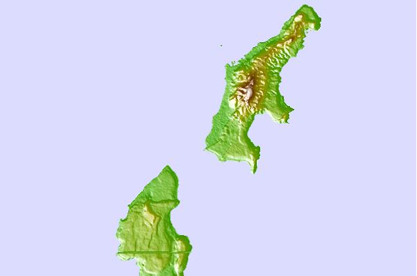
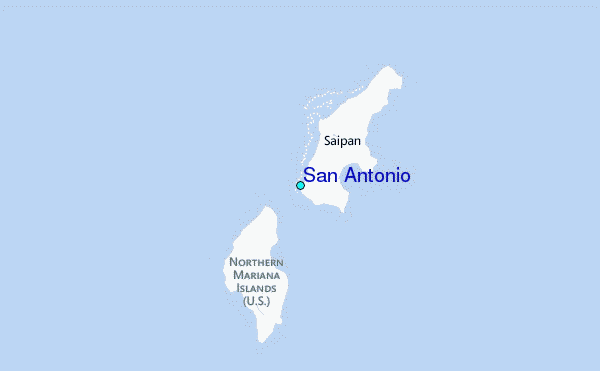
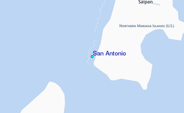
Use this relief map to navigate to tide stations, surf breaks and cities that are in the area of San Antonio.
Other Nearby Locations' tide tables and tide charts to San Antonio:
click location name for more details
 Surf breaks close to San Antonio:
|
||
|---|---|---|
| Closest surf break | Tank Beach | 12 mi |
| Second closest surf break | Bird Island | 14 mi |
| Third closest surf break | Ricks Reef | 129 mi |
| Fourth closest surf break | Boat Basin Lefts | 131 mi |
| Fifth closest surf break | Boat Basin Rights | 131 mi |


 Nearest
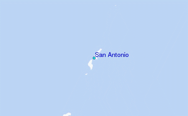