
| Distance / Altitude | Location | Report Date / Time | Live Weather | Wind | Gusts | Temp. | Visibility | Cloud |
|---|---|---|---|---|---|---|---|---|
| 38 km NW / 361 m | La Molina wx (Peru) | 2026-07-09 19:17 local (2026/07/10 00:17 GMT) | dry | calm (0 km/h at 202) | 19°C | - | - - 0 | |
| 54 km WNW / 34 m | Lima Jorge Chávez International Airport (Peru) | 2026-07-09 18:00 local (2026/07/09 23:00 GMT) | Dry and cloudy | light winds from the S (19 km/h at 170) | 21°C | 10.0 | scattered overcast | |
| 159 km ENE / 3812 m | Jauja Airport (Peru) | 2026-07-09 18:00 local (2026/07/09 23:00 GMT) | Light rain | moderate winds from the W (20 km/h at 270) | 8°C | 10.0 | overcast | |
| 161 km SSE / 211 m | Pisco Airport (Peru) | 2026-07-09 18:00 local (2026/07/09 23:00 GMT) | Dry and cloudy | light winds from the SW (15 km/h at 220) | 21°C | 10.0 | overcast overcast overcast | |
| 172 km SSE / 5 m | Paracas (Peru) | 2026-07-09 19:15 local (2026/07/10 00:15 GMT) | - | light winds from the WSW (6 km/h at 245) | 20°C | - | - - 0 | |
| 290 km ESE / 2747 m | Ayacucho/Coronel FAP Alfredo Mendívil Duarte Airport (Peru) | 2026-07-09 18:00 local (2026/07/09 23:00 GMT) | Dry and partly cloudy | light winds from the N.(Wind varies from 320 to 040 degs) (9 km/h at 10) | 21°C | 10.0 | few broken | |
| 297 km NNE / 3571 m | Huánuco/Alférez FAP David Figueroa Fernandini Airport (Peru) | 2026-07-09 17:00 local (2026/07/09 22:00 GMT) | - | fresh winds from the ENE (30 km/h at 60) | — | 10.0 | few scattered - | |
| 501 km NNE / 22 m | Pucallpa Airport (Peru) | 2026-07-09 18:00 local (2026/07/09 23:00 GMT) | Dry and partly cloudy | calm (4 km/h at 360) | 28°C | 10.0 | scattered | |
| 535 km NW / 215 m | Trujillo Airport (Peru) | 2026-07-09 18:00 local (2026/07/09 23:00 GMT) | Dry and partly cloudy | wind obs. (13 kph from 150 degs) was rejected (- km/h at -) | 22°C | 9.0 | few broken | |
| 538 km ESE / 3533 m | Cuzco/Velazco Astete Airport (Peru) | 2026-07-09 18:30 local (2026/07/09 23:30 GMT) | - | light winds from the N (9 km/h at 1) | 13°C | 10.0 | few |
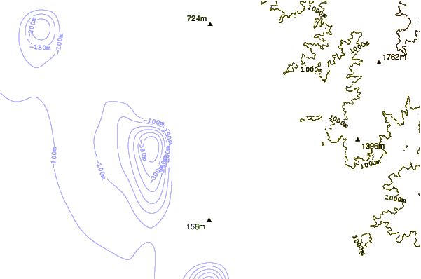
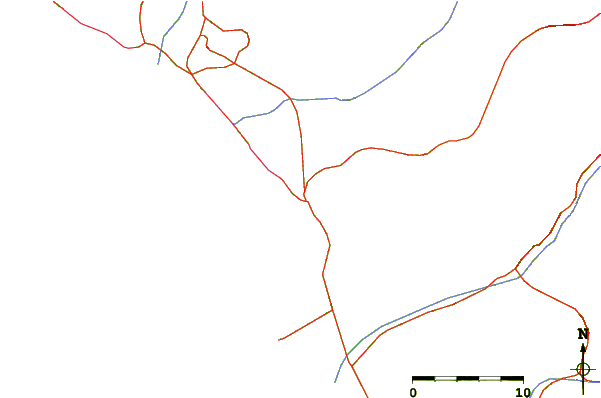
| Contours: | Roads & Rivers: | Select a
tide station / surf break / city |
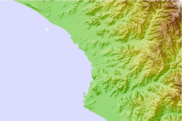
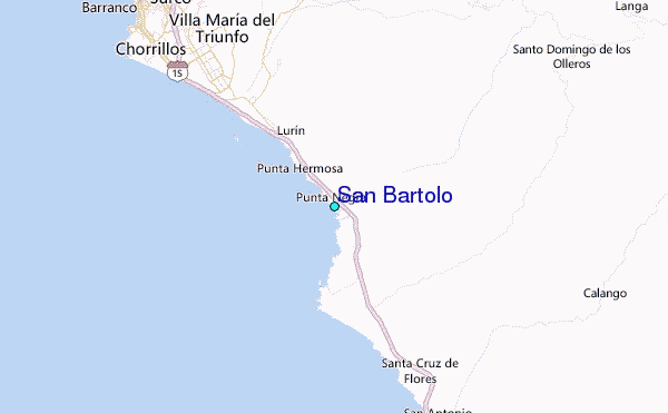
Use this relief map to navigate to tide stations, surf breaks and cities that are in the area of San Bartolo.
Other Nearby Locations' tide tables and tide charts to San Bartolo:
click location name for more details
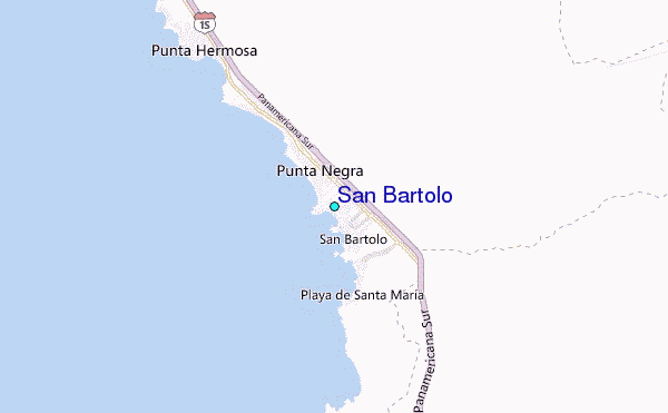
 Surf breaks close to San Bartolo:
|
||
|---|---|---|
| Closest surf break | San Bartolo - Derechitas | 0 mi |
| Second closest surf break | El Huaico | 1 mi |
| Third closest surf break | San Bartolo - Izquierditas | 1 mi |
| Fourth closest surf break | Peña Rosa | 1 mi |
| Fifth closest surf break | Peñascal | 1 mi |


 Nearest
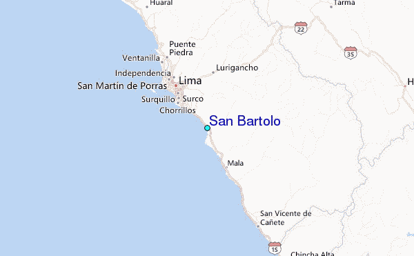