
| Distance / Altitude | Location | Report Date / Time | Live Weather | Wind | Gusts | Temp. | Visibility | Cloud |
|---|---|---|---|---|---|---|---|---|
| 75 km SE / 212 m | Maasin (Philippines) | 2026-07-10 02:00 local (2026/07/09 18:00 GMT) | distant precipitation but not falling at station | - (- km/h at -) | 29°C | 22 | - - - | |
| 137 km NNE / 96 m | Catbalogan-Samar (Philippines) | 2026-07-10 02:00 local (2026/07/09 18:00 GMT) | state of sky unchanged | calm (4 km/h at 140) | 29°C | 22 | - - - | |
| 153 km ENE / 214 m | Guiuan (Samar Island) (Philippines) | 2026-07-10 02:00 local (2026/07/09 18:00 GMT) | distant precipitation but not falling at station | - (- km/h at -) | 28°C | 18 | - - - | |
| 154 km SE / 219 m | Surigao (Philippines) | 2026-07-10 02:00 local (2026/07/09 18:00 GMT) | haze | calm (4 km/h at 270) | 29°C | 25 | - - - | |
| 160 km NE / 95 m | Borongan (Philippines) | 2026-07-10 02:00 local (2026/07/09 18:00 GMT) | haze | calm (4 km/h at 40) | 29°C | 18 | - | |
| 188 km SSW / 8 m | Dumaguete (Philippines) | 2026-07-10 02:00 local (2026/07/09 18:00 GMT) | distant precipitation but not falling at station | wind obs. (11 kph from 110 degs) was rejected (- km/h at -) | 28°C | 10 | few scattered overcast | |
| 188 km SSW / 8 m | Dumaguete–Sibulan Airport (Philippines) | 2026-07-10 02:00 local (2026/07/09 18:00 GMT) | distant precipitation but not falling at station | wind obs. (11 kph from 110 degs) was rejected (- km/h at -) | 28°C | 10 | few scattered overcast | |
| 206 km W / 2 m | Roxas (Philippines) | 2026-07-10 02:00 local (2026/07/09 18:00 GMT) | light rain showers | light winds from the S (11 km/h at 180) | 28°C | 9 | - | |
| 207 km NW / 35 m | Masbate (Philippines) | 2026-07-10 02:00 local (2026/07/09 18:00 GMT) | state of sky unchanged | wind obs. (7 kph from 110 degs) was rejected (- km/h at -) | 30°C | 20 | - | |
| 208 km NW / 210 m | Macatan Airport (Philippines) | 2026-07-10 02:00 local (2026/07/09 18:00 GMT) | intermittent light rain | light winds from the WSW (14 km/h at 240) | 28°C | 9 | few - - |
| Contours: | Roads & Rivers: | Select a
tide station / surf break / city |
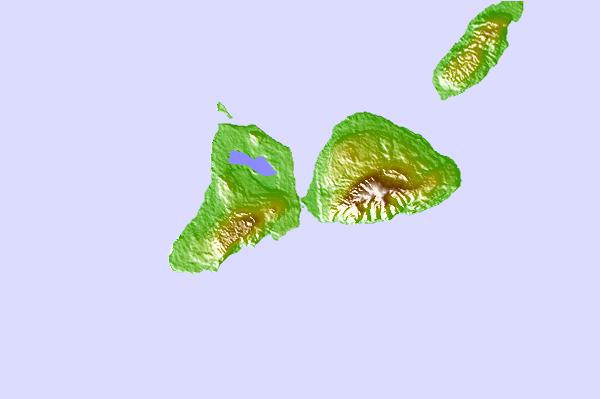
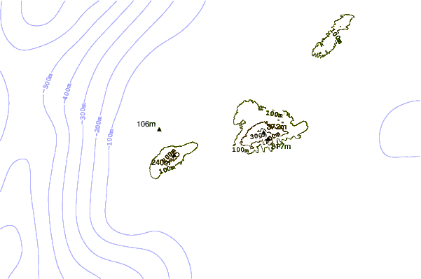
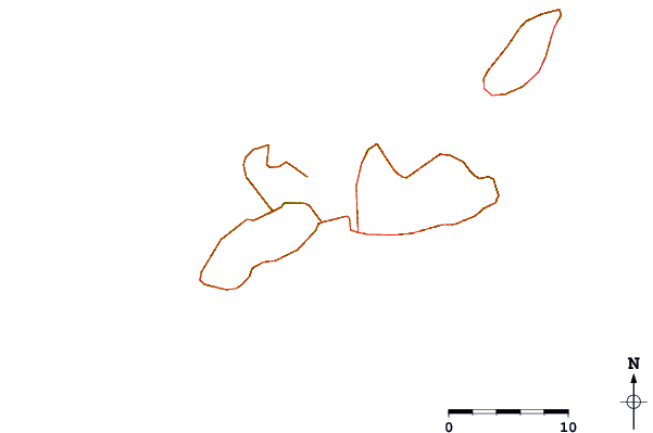
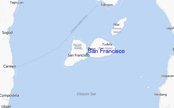
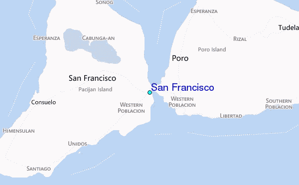
Use this relief map to navigate to tide stations, surf breaks and cities that are in the area of San Francisco.
Other Nearby Locations' tide tables and tide charts to San Francisco:
click location name for more details
 Surf breaks close to San Francisco:
|
||
|---|---|---|
| Closest surf break | Llorente | 95 mi |
| Second closest surf break | Guitagican Beach | 98 mi |
| Third closest surf break | Boulevard | 98 mi |
| Fourth closest surf break | Pirates Cove | 98 mi |
| Fifth closest surf break | Santa Monica | 100 mi |


 Nearest
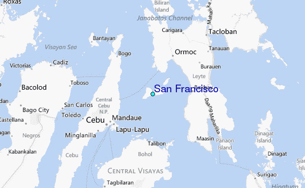