
| Distance / Altitude | Location | Report Date / Time | Live Weather | Wind | Gusts | Temp. | Visibility | Cloud |
|---|---|---|---|---|---|---|---|---|
| 20 km NW / 0 m | lightning 4km SW of Panan (Philippines) | 2026-07-10 01:03 local (2026/07/09 17:03 GMT) | Thunderstorm | (- km/h at -) | — | |||
| 27 km W / 0 m | lightning 26km WSW of Cabangan (Philippines) | 2026-07-10 02:33 local (2026/07/09 18:33 GMT) | Thunderstorm | (- km/h at -) | — | |||
| 31 km SE / 0 m | Olongapo/Subic Bay Airport (Philippines) | 2026-07-10 02:00 local (2026/07/09 18:00 GMT) | Thunderstorm heavy rain thunderstorm | light winds from the N (11 km/h at 1) | 27°C | 0.0 | few broken overcast | |
| 37 km NW / 5 m | Iba (Philippines) | 2026-07-10 02:00 local (2026/07/09 18:00 GMT) | thunderstorm but no precipitation falling at station | wind obs. (18 kph from 220 degs) was rejected (- km/h at -) | 32°C | 20 | - | |
| 43 km NW / 33 m | thunderstorm affecting Amungan (Philippines) | 2026-07-10 01:03 local (2026/07/09 17:03 GMT) | Thunderstorm | (- km/h at -) | — | |||
| 55 km ENE / 155 m | Clark AB (Philippines) | 2026-07-10 02:00 local (2026/07/09 18:00 GMT) | - | wind obs. (18 kph from 180 degs) was rejected (- km/h at -) | — | 15 | - - - | |
| 57 km ENE / 584 m | Angeles/Pampanga Airport (Philippines) | 2026-07-10 02:00 local (2026/07/09 18:00 GMT) | - | wind obs. (7 kph from 140 degs) was rejected (- km/h at -) | 28°C | 10.0 | few | |
| 85 km SSW / 0 m | lightning 81km WSW of Sabang (Philippines) | 2026-07-10 02:01 local (2026/07/09 18:01 GMT) | Thunderstorm | (- km/h at -) | — | |||
| 90 km NE / 19 m | Santa Lucia wx (Philippines) | 2026-07-10 03:11 local (2026/07/09 19:11 GMT) | dry | calm (2 km/h at 273) | 26°C | - | - - 0 | |
| 106 km ESE / 2 m | Sangley Point (Philippines) | 2026-07-10 02:00 local (2026/07/09 18:00 GMT) | no report | wind obs. (18 kph from 90 degs) was rejected (- km/h at -) | 32°C | 10 | - - - |
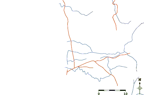
| Contours: | Roads & Rivers: | Select a
tide station / surf break / city |
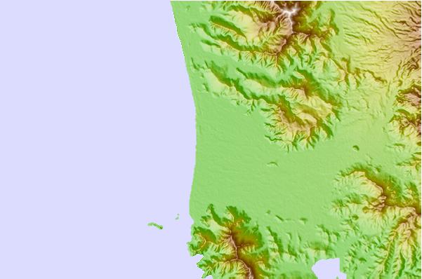
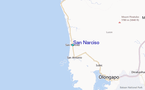
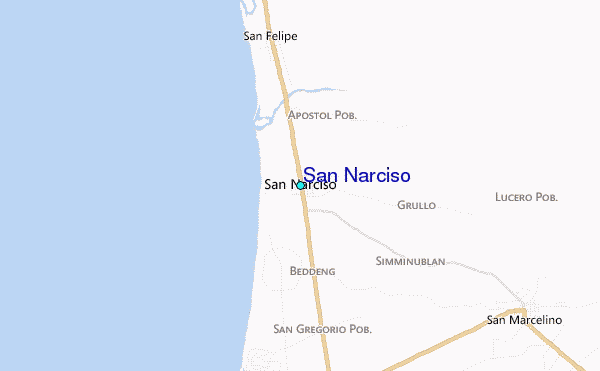
Use this relief map to navigate to tide stations, surf breaks and cities that are in the area of San Narciso.
Other Nearby Locations' tide tables and tide charts to San Narciso:
click location name for more details
 Surf breaks close to San Narciso:
|
||
|---|---|---|
| Closest surf break | Bauang | 107 mi |
| Second closest surf break | Poro Point | 111 mi |
| Third closest surf break | Baler - Charlie's Point | 112 mi |
| Fourth closest surf break | Baler - Lindy's Point | 112 mi |
| Fifth closest surf break | Baler - Sabang | 112 mi |


 Nearest
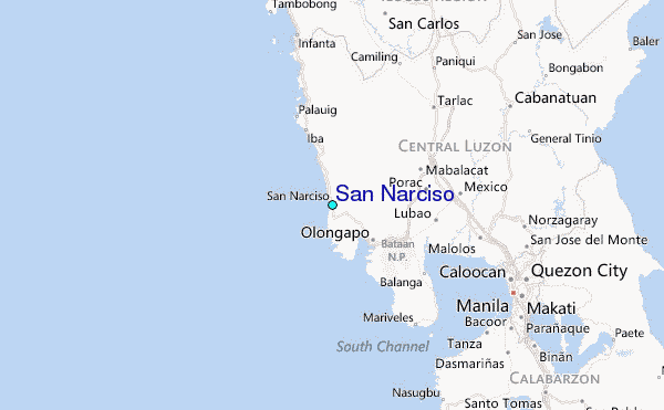