
| Distance / Altitude | Location | Report Date / Time | Live Weather | Wind | Gusts | Temp. | Visibility | Cloud |
|---|---|---|---|---|---|---|---|---|
| 39 km W / 216 m | Sand Point Airport (Alaska) | 2026-07-26 22:29 local (2026/07/27 06:29 GMT) | Dry and cloudy | light winds from the N (17 km/h at 350) | 13°C | 16 | broken broken overcast | |
| 39 km W / 3 m | BUOY-SNDA2 (Marine) | 2026-07-26 23:00 local (2026/07/27 07:00 GMT) | light winds from the N (9 km/h at 10) | 12°C | - | |||
| 97 km NE / 3 m | SHIP3945 (Marine) | 2026-07-26 23:00 local (2026/07/27 07:00 GMT) | calm (5 km/h at 140) | 12°C | - | |||
| 120 km E / 15 m | hy2c202E55N (Marine) | 2026-07-26 21:43 local (2026/07/27 05:43 GMT) | light winds from the WSW (12 km/h at 248) | — | - km | |||
| 122 km WNW / 3 m | BUOY-NLXA2 (Marine) | 2026-07-26 23:32 local (2026/07/27 07:32 GMT) | moderate winds from the WNW (28 km/h at 290) | 9°C | - | |||
| 107 km NE / 3 m | SHIP3448 (Marine) | 2026-07-26 22:00 local (2026/07/27 06:00 GMT) | light winds from the NW (11 km/h at 310) | 13°C | - | |||
| 107 km NE / 15 m | SHIP7653 (Marine) | 2026-07-26 22:00 local (2026/07/27 06:00 GMT) | light winds from the NW (11.16 km/h at 310) | 10°C | - km | |||
| 118 km NE / 3 m | SHIP3716 (Marine) | 2026-07-26 22:00 local (2026/07/27 06:00 GMT) | light winds from the NNW (18 km/h at 340) | 12°C | - | |||
| 118 km NE / 15 m | SHIP2854 (Marine) | 2026-07-26 22:00 local (2026/07/27 06:00 GMT) | light winds from the NW (11.16 km/h at 310) | 9°C | - km | |||
| 121 km E / 15 m | hy2c202E55N (Marine) | 2026-07-26 21:43 local (2026/07/27 05:43 GMT) | light winds from the WSW (12 km/h at 248) | — | - km |
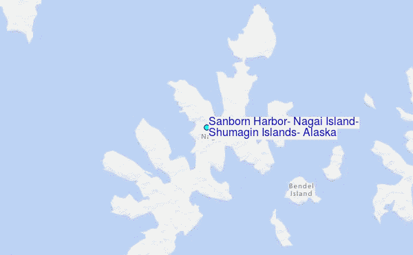
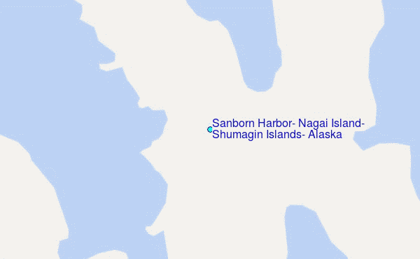
Choose Sanborn Harbor, Nagai Island, Shumagin Islands, Alaska Location Map Zoom:
| Contours: | Roads & Rivers: | Select a
tide station / surf break / city |
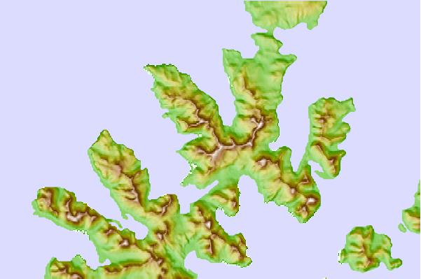
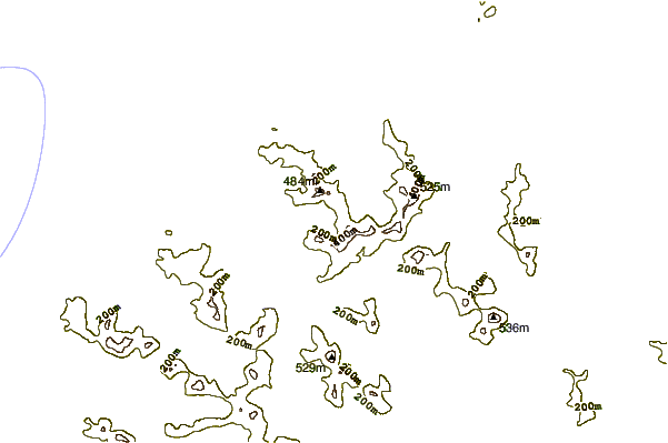
Use this relief map to navigate to tide stations, surf breaks and cities that are in the area of Sanborn Harbor, Nagai Island, Shumagin Islands, Alaska.
Other Nearby Locations' tide tables and tide charts to Sanborn Harbor, Nagai Island, Shumagin Islands, Alaska:
click location name for more details
 Surf breaks close to Sanborn Harbor, Nagai Island, Shumagin Islands, Alaska:
|
||
|---|---|---|
| Closest surf break | Fossil Beach Kodiak | 332 mi |
| Second closest surf break | Monashka Bay | 342 mi |
| Third closest surf break | Termination Point | 344 mi |
| Fourth closest surf break | Mill Bay | 345 mi |
| Fifth closest surf break | Bird Point (Tidal Bore) | 497 mi |


 Nearest
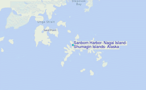