
| Distance / Altitude | Location | Report Date / Time | Live Weather | Wind | Gusts | Temp. | Visibility | Cloud |
|---|---|---|---|---|---|---|---|---|
| 14 km N / 218 m | Bangor Airport (Maine) | 2026-07-26 07:53 local (2026/07/26 11:53 GMT) | - | calm (0 km/h at 0) | 17°C | 16 | few few | |
| 17 km N / 63 m | Bangor (Maine) | 2026-07-26 08:19 local (2026/07/26 12:19 GMT) | dry | calm (2 km/h at 201) | 19°C | - | - - 0 | |
| 20 km NNE / 46 m | Veazie wx (United States) | 2026-07-26 09:07 local (2026/07/26 13:07 GMT) | dry | calm (0 km/h at 10) | 23°C | - | - - 0 | |
| 25 km W / 109 m | Dixmont (Maine) | 2026-07-26 09:18 local (2026/07/26 13:18 GMT) | dry | calm (3 km/h at 235) | 23°C | - | - - 0 | |
| 26 km S / 34 m | Searsport wx (United States) | 2026-07-26 09:13 local (2026/07/26 13:13 GMT) | dry | calm (5 km/h at 208) | 21°C | - | - - 0 | |
| 26 km ENE / 91 m | Otis (Massachusetts) | 2026-07-26 09:24 local (2026/07/26 13:24 GMT) | dry | calm (0 km/h at 42) | 21°C | - | - - 0 | |
| 27 km ESE / 147 m | Joyville wx (United States) | 2026-07-26 09:22 local (2026/07/26 13:22 GMT) | dry | calm (2 km/h at 118) | 23°C | - | - - 0 | |
| 31 km ESE / 33 m | Ellsworth Falls (Maine) | 2026-07-26 09:22 local (2026/07/26 13:22 GMT) | dry | calm (0 km/h at 195) | 26°C | - | - - 0 | |
| 31 km S / 5 m | Belfast (Maine) | 2026-07-26 09:32 local (2026/07/26 13:32 GMT) | dry | - (- km/h at ) | — | - | - - 0 | |
| 31 km SE / 4 m | Surry (Maine) | 2026-07-26 09:21 local (2026/07/26 13:21 GMT) | dry | calm (0 km/h at 0) | 19°C | - | - - 0 |
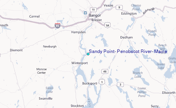
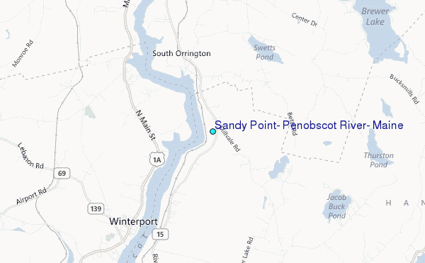
Choose Sandy Point, Penobscot River, Maine Location Map Zoom:
| Contours: | Roads & Rivers: | Select a
tide station / surf break / city |
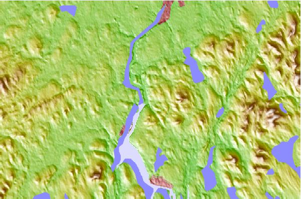
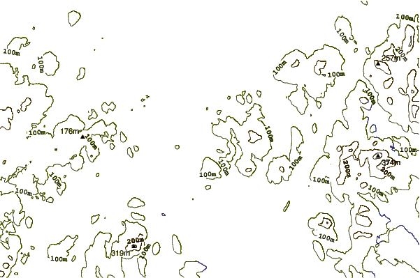
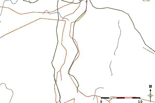
Use this relief map to navigate to tide stations, surf breaks and cities that are in the area of Sandy Point, Penobscot River, Maine.
Other Nearby Locations' tide tables and tide charts to Sandy Point, Penobscot River, Maine:
click location name for more details
 Surf breaks close to Sandy Point, Penobscot River, Maine:
|
||
|---|---|---|
| Closest surf break | Popham Read | 81 mi |
| Second closest surf break | Trayhan's | 86 mi |
| Third closest surf break | Two Lights | 104 mi |
| Fourth closest surf break | Doc Browns | 104 mi |
| Fifth closest surf break | Higgins Beach | 106 mi |


 Nearest
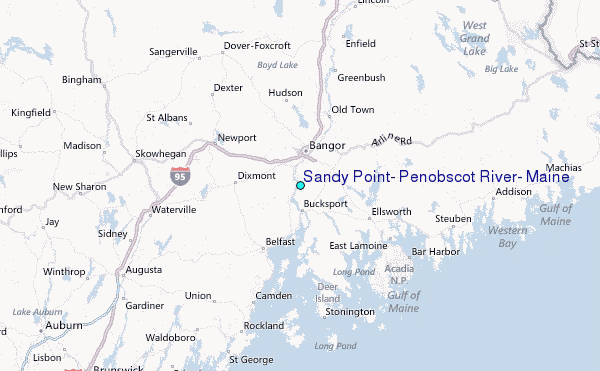