
| Distance / Altitude | Location | Report Date / Time | Live Weather | Wind | Gusts | Temp. | Visibility | Cloud |
|---|---|---|---|---|---|---|---|---|
| 13 km NW / 201 m | Sal Island/Amilcar Cabral International Airport (Cape Verde) | 2026-07-09 17:00 local (2026/07/09 18:00 GMT) | Dry and partly cloudy | moderate winds from the NW (24 km/h at 320) | 26°C | 10.0 | broken broken | |
| 17 km NW / 56 m | Sal (Cabo Verde) | 2026-07-09 17:00 local (2026/07/09 18:00 GMT) | mist | moderate winds from the NE (20 km/h at 40) | 23°C | 9 | - | |
| 52 km S / 22 m | Rabil Airport (Cape Verde) | 2026-07-09 17:00 local (2026/07/09 18:00 GMT) | Dry and partly cloudy | moderate winds from the NNW (20 km/h at 330) | 26°C | 10.0 | broken | |
| 194 km S / 70 m | Praia International Airport (Cape verde) | 2026-07-09 17:00 local (2026/07/09 18:00 GMT) | Dry and partly cloudy | light winds from the S (9 km/h at 190) | 28°C | 10.0 | scattered | |
| 200 km S / 108 m | Praia (Cuba) | 2026-07-09 17:00 local (2026/07/09 18:00 GMT) | widespread dust in suspension not raised by wind | moderate winds from the NE (24 km/h at 40) | 27°C | 9 | - | |
| 214 km E / 15 m | SHIP4412 (Marine) | 2026-07-09 16:00 local (2026/07/09 17:00 GMT) | - (- km/h at -) | — | - km | |||
| 214 km E / 3 m | SHIP5 (Marine) | 2026-07-09 16:00 local (2026/07/09 17:00 GMT) | - (- km/h at -) | — | - | |||
| 214 km E / 15 m | SHIP7075 (Marine) | 2026-07-09 16:00 local (2026/07/09 17:00 GMT) | - (- km/h at -) | — | - km | |||
| 214 km E / 3 m | SHIP3239 (Marine) | 2026-07-09 16:00 local (2026/07/09 17:00 GMT) | - (- km/h at -) | — | - | |||
| 214 km E / 3 m | SHIP220 (Marine) | 2026-07-09 16:00 local (2026/07/09 17:00 GMT) | - (- km/h at -) | — | - |
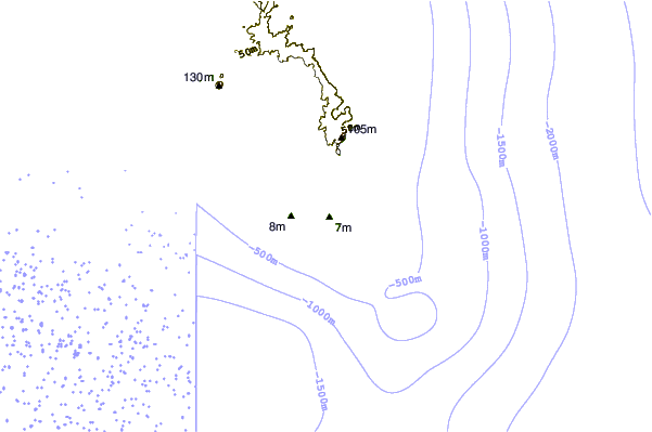
| Contours: | Roads & Rivers: | Select a
tide station / surf break / city |
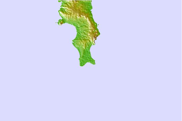
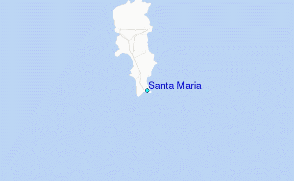
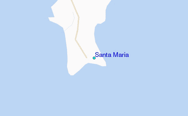
Use this relief map to navigate to tide stations, surf breaks and cities that are in the area of Santa Maria.
Other Nearby Locations' tide tables and tide charts to Santa Maria:
click location name for more details
 Surf breaks close to Santa Maria:
|
||
|---|---|---|
| Closest surf break | Spoutnik | 1 mi |
| Second closest surf break | Fragata | 1 mi |
| Third closest surf break | Santa Maria | 1 mi |
| Fourth closest surf break | Ponta Preta | 2 mi |
| Fifth closest surf break | Ponta do Sino | 2 mi |


 Nearest
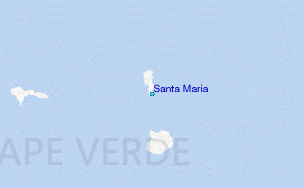