
| Distance / Altitude | Location | Report Date / Time | Live Weather | Wind | Gusts | Temp. | Visibility | Cloud |
|---|---|---|---|---|---|---|---|---|
| 6 km WSW / 50 m | Bella Vista wx (Dominican Republic) | 2026-07-09 20:03 local (2026/07/10 00:03 GMT) | dry | calm (5 km/h at 23) | 28°C | - | - - 0 | |
| 7 km NE / 41 m | Ensanche Savica de Mendoza wx (Dominican Republic) | 2026-07-09 20:04 local (2026/07/10 00:04 GMT) | dry | calm (2 km/h at 350) | 27°C | - | - - 0 | |
| 17 km WNW / 30 m | La Isabela International Airport (Dominican republic) | 2026-07-09 19:00 local (2026/07/09 23:00 GMT) | Shower - in the vicinity | calm (0 km/h at 0) | 28°C | 8.0 | few scattered broken | |
| 23 km E / 212 m | Punta Caucedo/Las Americas Airport (Dominican Republic) | 2026-07-09 19:00 local (2026/07/09 23:00 GMT) | Shower - in the vicinity | light winds from the NNE (11 km/h at 20) | — | 8.0 | few broken scattered | |
| 92 km N / 10 m | El Catey International Airport (Dominican republic) | 2026-07-09 19:00 local (2026/07/09 23:00 GMT) | Dry and partly cloudy | calm (0 km/h at 0) | 27°C | 10.0 | scattered broken | |
| 99 km E / 365 m | La Romana International Airport (Dominican Republic) | 2026-07-09 19:00 local (2026/07/09 23:00 GMT) | Dry and partly cloudy | moderate winds from the E (22 km/h at 90) | 29°C | 10.0 | scattered scattered broken | |
| 118 km NW / 200 m | Los Zanjón wx (Dominican Republic) | 2026-07-09 20:00 local (2026/07/10 00:00 GMT) | dry | calm (0 km/h at ) | 27°C | - | - - 0 | |
| 132 km SW / 360 m | Barahona Airport (Dominican Republic) | 2026-07-09 19:00 local (2026/07/09 23:00 GMT) | - | moderate winds from the SE (22 km/h at 130) | 29°C | 10.0 | few few broken | |
| 136 km WNW / 975 m | lightning 10km WSW of Juncalito Abajo (Dominican Republic) | 2026-07-09 20:49 local (2026/07/10 00:49 GMT) | Thunderstorm | (- km/h at -) | — | |||
| 142 km WNW / 209 m | Santiago International Airport (Dominican Republic) | 2026-07-09 19:00 local (2026/07/09 23:00 GMT) | Dry and partly cloudy | light winds from the E.(Wind varies from 060 to 130 degs) (15 km/h at 90) | 27°C | 10.0 | few broken broken |
| Contours: | Roads & Rivers: | Select a
tide station / surf break / city |
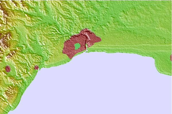
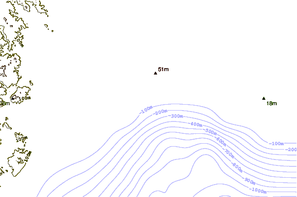
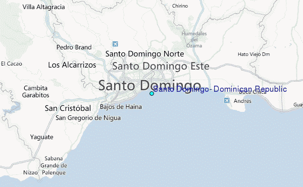
Use this relief map to navigate to tide stations, surf breaks and cities that are in the area of Santo Domingo, Dominican Republic.
Other Nearby Locations' tide tables and tide charts to Santo Domingo, Dominican Republic:
click location name for more details
 Surf breaks close to Santo Domingo, Dominican Republic:
|
||
|---|---|---|
| Closest surf break | Guibia | 4 mi |
| Second closest surf break | El Chinchorro (Red Beach) | 9 mi |
| Third closest surf break | Red Beach | 12 mi |
| Fourth closest surf break | La Boya | 17 mi |
| Fifth closest surf break | Banzai | 19 mi |


 Nearest
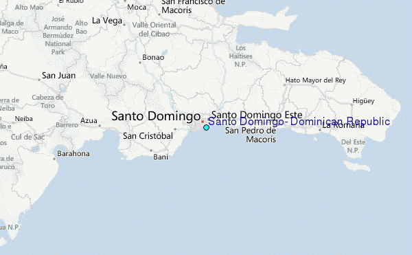