
| Distance / Altitude | Location | Report Date / Time | Live Weather | Wind | Gusts | Temp. | Visibility | Cloud |
|---|---|---|---|---|---|---|---|---|
| 15 km WSW / 4 m | Joinville (Brazil) | 2026-07-09 21:00 local (2026/07/10 00:00 GMT) | mist | - (- km/h at -) | 16°C | 2000 | - | |
| 17 km WSW / 4 m | Joinville Airport (Brazil) | 2026-07-09 20:00 local (2026/07/09 23:00 GMT) | - | calm (2 km/h at 120) | 14°C | 9.0 | few | |
| 17 km N / 4 m | Itapoa (Brazil) | 2026-07-09 21:00 local (2026/07/10 00:00 GMT) | no report | calm (0 km/h at 190) | 15°C | - | - | |
| 22 km SW / 132 m | Boa Vista wx (Brazil) | 2026-07-09 21:21 local (2026/07/10 00:21 GMT) | dry | calm (0 km/h at ) | 16°C | - | - - 0 | |
| 56 km WSW / 1183 m | Joinville (Brazil) | 2026-07-09 20:35 local (2026/07/09 23:35 GMT) | dry | moderate winds from the N (21 km/h at 359) | 14°C | - | - - 0 | |
| 70 km S / 5 m | Navegantes Airport (Brazil) | 2026-07-09 21:00 local (2026/07/10 00:00 GMT) | no report | light winds from the NNW (7 km/h at 340) | 18°C | 20 | - | |
| 72 km S / 5 m | Navegantes Airport (Brazil) | 2026-07-09 20:00 local (2026/07/09 23:00 GMT) | - | wind obs. (6 kph from 340 degs) was rejected (- km/h at -) | 16°C | 10.0 | few | |
| 82 km NW / 60 m | Morretes (Brazil) | 2026-07-09 21:00 local (2026/07/10 00:00 GMT) | no report | calm (0 km/h at 210) | 16°C | - | - | |
| 87 km S / 12 m | Balneario Camboriu (Brazil) | 2026-07-09 21:31 local (2026/07/10 00:31 GMT) | dry | calm (0 km/h at 12) | 14°C | - | - - 0 | |
| 90 km S / 109 m | Pescadores wx (Brazil) | 2026-07-09 19:22 local (2026/07/09 22:22 GMT) | dry | calm (0 km/h at 176) | 16°C | - | - - 0 |
| Contours: | Roads & Rivers: | Select a
tide station / surf break / city |
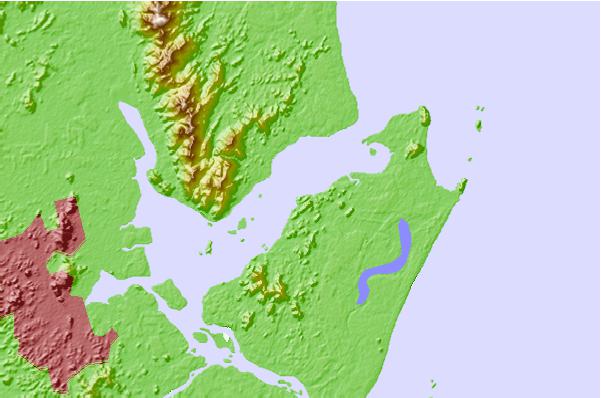
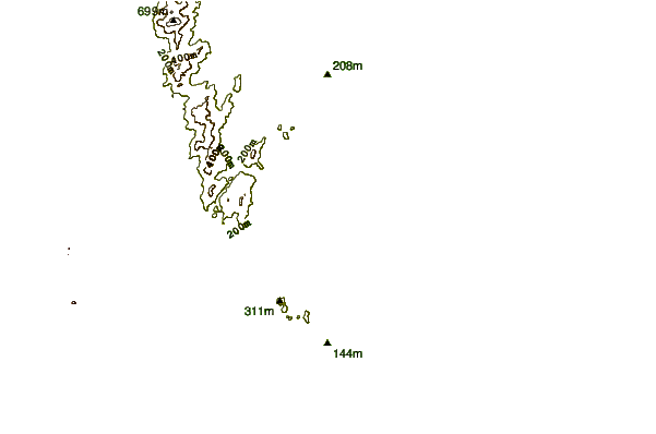
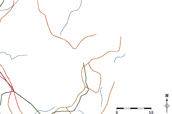
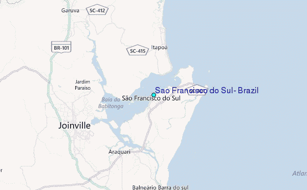
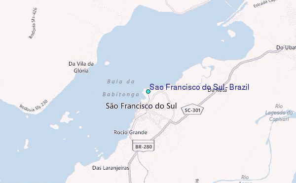
Use this relief map to navigate to tide stations, surf breaks and cities that are in the area of Sao Francisco do Sul, Brazil.
Other Nearby Locations' tide tables and tide charts to Sao Francisco do Sul, Brazil:
click location name for more details
 Surf breaks close to Sao Francisco do Sul, Brazil:
|
||
|---|---|---|
| Closest surf break | Praia de Ubatuba | 7 mi |
| Second closest surf break | Praia Grande | 8 mi |
| Third closest surf break | Prainha | 8 mi |
| Fourth closest surf break | Ponta da Tataruga | 9 mi |
| Fifth closest surf break | Barre do Sai | 17 mi |


 Nearest
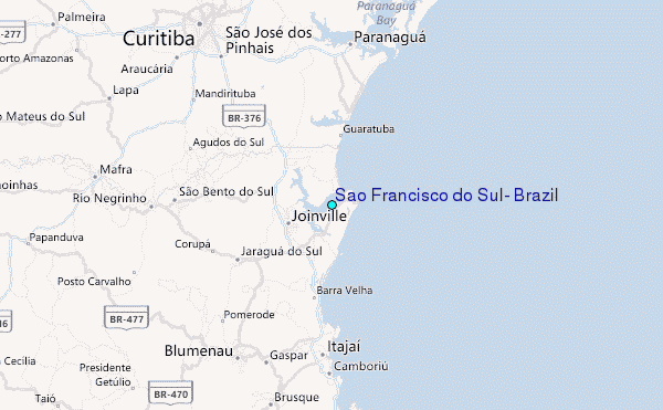