
| Distance / Altitude | Location | Report Date / Time | Live Weather | Wind | Gusts | Temp. | Visibility | Cloud |
|---|---|---|---|---|---|---|---|---|
| 16 km E / 2 m | Santos wx (Brazil) | 2026-07-09 16:19 local (2026/07/09 19:19 GMT) | dry | calm (2 km/h at 45) | 19°C | - | - - 0 | |
| 17 km E / 1 m | Vicente de Carvalho wx (Brazil) | 2026-07-09 16:20 local (2026/07/09 19:20 GMT) | dry | wind obs. (11 kph from 140 degs) was rejected (- km/h at -) | 20°C | - | - - 0 | |
| 19 km E / 331 m | Santos Air Force Base Airport (Brazil) | 2026-07-09 17:00 local (2026/07/09 20:00 GMT) | - | wind obs. (9 kph from 140 degs) was rejected (- km/h at -) | — | 0.0 | ||
| 40 km NW / 703 m | São Paulo Congonhas Airport (Brazil) | 2026-07-09 17:00 local (2026/07/09 20:00 GMT) | Dry and partly cloudy | calm (4 km/h at 20) | — | 0.0 | broken broken broken | |
| 40 km NW / 776 m | Sao Paulo (Brazil) | 2026-07-09 16:46 local (2026/07/09 19:46 GMT) | dry | calm (2 km/h at 22) | 23°C | - | - - 0 | |
| 41 km NW / 803 m | Sao Paulo (Aero) (Brazil) | 2026-07-09 16:00 local (2026/07/09 19:00 GMT) | no report | calm (4 km/h at 320) | 15°C | 9 | - - - | |
| 49 km WNW / 662 m | Rio Pequeno wx (Brazil) | 2026-07-09 16:31 local (2026/07/09 19:31 GMT) | - | calm (0 km/h at 0) | 22°C | - | - - 0 | |
| 50 km NW / 490 m | Marte Airport (Brazil) | 2026-07-09 17:00 local (2026/07/09 20:00 GMT) | - | calm (0 km/h at 0) | — | 0.0 | ||
| 53 km NW / 794 m | Santana (São Paulo) (Brazil) | 2026-07-09 17:00 local (2026/07/09 20:00 GMT) | no report | calm (0 km/h at 100) | 15°C | - | - - - | |
| 53 km NW / 722 m | Marte (Aero) (Brazil) | 2026-07-09 18:00 local (2026/07/09 21:00 GMT) | - | - (- km/h at -) | — | 20 | - |
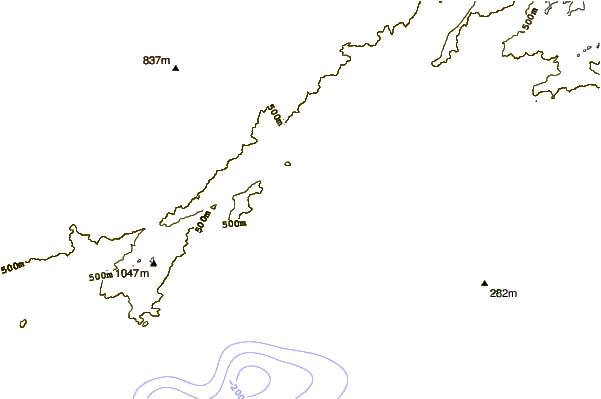
| Contours: | Roads & Rivers: | Select a
tide station / surf break / city |

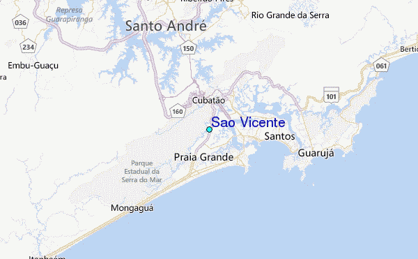
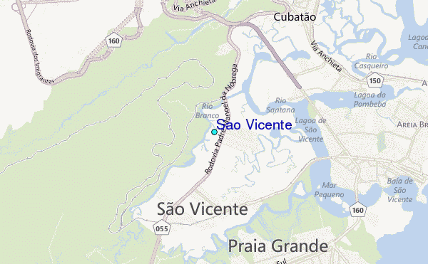
Use this relief map to navigate to tide stations, surf breaks and cities that are in the area of Sao Vicente.
Other Nearby Locations' tide tables and tide charts to Sao Vicente:
click location name for more details
 Surf breaks close to Sao Vicente:
|
||
|---|---|---|
| Closest surf break | Praia Grande | 5 mi |
| Second closest surf break | Porta do Sol | 6 mi |
| Third closest surf break | Ilha Porchat | 7 mi |
| Fourth closest surf break | Itaipu | 7 mi |
| Fifth closest surf break | Mongagua | 7 mi |


 Nearest
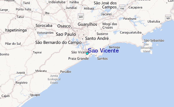