
| Distance / Altitude | Location | Report Date / Time | Live Weather | Wind | Gusts | Temp. | Visibility | Cloud |
|---|---|---|---|---|---|---|---|---|
| 39 km NE / 193 m | Sangster/Montego Bay Airport (Jamaica) | 2026-07-09 13:00 local (2026/07/09 18:00 GMT) | Dry and partly cloudy | fresh winds from the E (30 km/h at 90) | 33°C | 10.0 | scattered few | |
| 111 km ENE / 0 m | lightning 25km NNE of Runaway Bay (Jamaica) | 2026-07-09 12:32 local (2026/07/09 17:32 GMT) | Thunderstorm | (- km/h at -) | — | |||
| 146 km ESE / 191 m | Kingston/Norman Manley International Airport (Jamaica) | 2026-07-09 13:00 local (2026/07/09 18:00 GMT) | - | fresh winds from the ESE (33 km/h at 120) | 33°C | |||
| 177 km WNW / 0 m | lightning 155km NW of Lucea (Jamaica) | 2026-07-09 13:03 local (2026/07/09 18:03 GMT) | Thunderstorm | (- km/h at -) | — | |||
| 208 km WNW / 0 m | lightning 170km SW of Santa Cruz del Sur (Cuba) | 2026-07-09 12:33 local (2026/07/09 17:33 GMT) | Thunderstorm | (- km/h at -) | — | |||
| 246 km WNW / 362 m | Gerrard Smith Airport (Grand Cayman Is) | 2026-07-09 13:00 local (2026/07/09 18:00 GMT) | - | light winds from the E (19 km/h at 90) | 32°C | 10.0 | few | |
| 264 km W / 0 m | lightning 91km NE of East End (Cayman Islands) | 2026-07-09 14:45 local (2026/07/09 19:45 GMT) | Thunderstorm | (- km/h at -) | — | |||
| 299 km SW / 3 m | SHIP1169 (Marine) | 2026-07-09 13:00 local (2026/07/09 18:00 GMT) | fresh winds from the E (37 km/h at 80) | 27°C | 20.4 | |||
| 299 km SW / 3 m | SHIP5633 (Marine) | 2026-07-09 13:00 local (2026/07/09 18:00 GMT) | fresh winds from the E (37 km/h at 80) | 27°C | 20.4 | |||
| 299 km SW / 3 m | SHIP1444 (Marine) | 2026-07-09 13:00 local (2026/07/09 18:00 GMT) | fresh winds from the E (37 km/h at 80) | 27°C | 20.4 |
| Contours: | Roads & Rivers: | Select a
tide station / surf break / city |
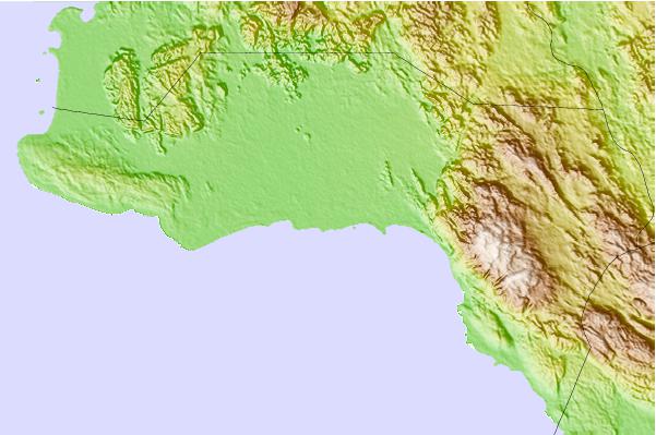
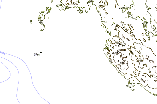
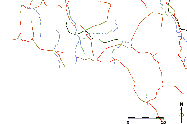
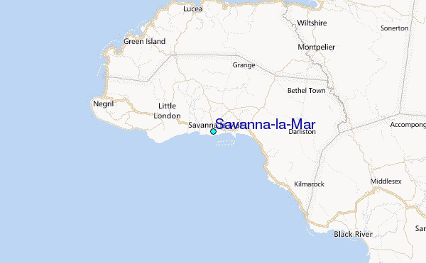
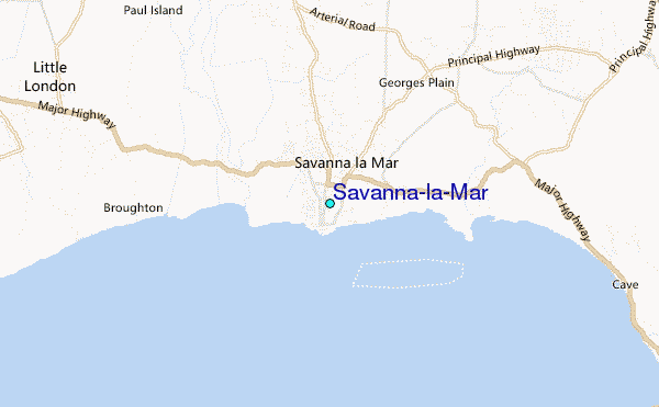
Use this relief map to navigate to tide stations, surf breaks and cities that are in the area of Savanna-la-Mar.
Other Nearby Locations' tide tables and tide charts to Savanna-la-Mar:
click location name for more details
 Surf breaks close to Savanna-la-Mar:
|
||
|---|---|---|
| Closest surf break | Discovery Bay | 51 mi |
| Second closest surf break | Runaway Bay | 55 mi |
| Third closest surf break | Lighthouse 2 | 91 mi |
| Fourth closest surf break | Zoo (Bull Bay) | 95 mi |
| Fifth closest surf break | Copa (Bull Bay) | 96 mi |


 Nearest
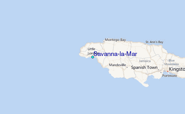