
| Distance / Altitude | Location | Report Date / Time | Live Weather | Wind | Gusts | Temp. | Visibility | Cloud |
|---|---|---|---|---|---|---|---|---|
| 4 km SW / 3 m | lightning 5km SE of Garden City (United States) | 2026-06-14 19:31 local (2026/06/14 23:31 GMT) | Thunderstorm | (- km/h at -) | — | |||
| 4 km S / 4 m | lightning 6km WNW of Thunderbolt (United States) | 2026-06-14 19:47 local (2026/06/14 23:47 GMT) | Thunderstorm | (- km/h at -) | — | |||
| 9 km E / 1 m | lightning 5km N of Whitemarsh Island (United States) | 2026-06-14 20:31 local (2026/06/15 00:31 GMT) | Thunderstorm | (- km/h at -) | — | |||
| 9 km SSW / 217 m | Savannah/Hunter Army Airfield Airport (Georgia) | 2026-06-14 20:40 local (2026/06/15 00:40 GMT) | Thunderstorm - | light winds from the S (11 km/h at 180) | 24°C | 16 | broken broken | |
| 10 km S / 7 m | lightning 5km W of Isle of Hope (United States) | 2026-06-14 19:31 local (2026/06/14 23:31 GMT) | Thunderstorm | (- km/h at -) | — | |||
| 11 km W / 218 m | Savannah Airport (Georgia) | 2026-06-14 20:40 local (2026/06/15 00:40 GMT) | Thunderstorm - in the vicinity | light winds from the S (17 km/h at 180) | 23°C | 16 | scattered overcast | |
| 12 km ENE / 1 m | lightning 6km ESE of Savannah (United States) | 2026-06-14 20:04 local (2026/06/15 00:04 GMT) | Thunderstorm | (- km/h at -) | — | |||
| 15 km SW / 6 m | lightning 6km NNW of Georgetown (United States) | 2026-06-14 19:30 local (2026/06/14 23:30 GMT) | Thunderstorm | (- km/h at -) | — | |||
| 17 km WNW / 7 m | lightning 7km NW of Port Wentworth (United States) | 2026-06-14 19:01 local (2026/06/14 23:01 GMT) | Thunderstorm | (- km/h at -) | — | |||
| 19 km ESE / 3 m | BUOY-FPKG1 (Marine) | 2026-06-14 21:00 local (2026/06/15 01:00 GMT) | light winds from the SW (17 km/h at 230) | 24°C | - |
| Contours: | Roads & Rivers: | Select a
tide station / surf break / city |
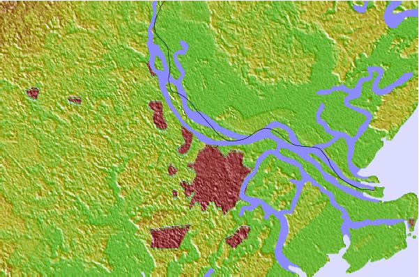
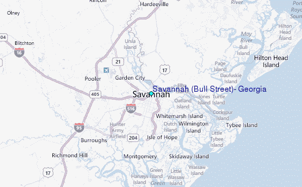
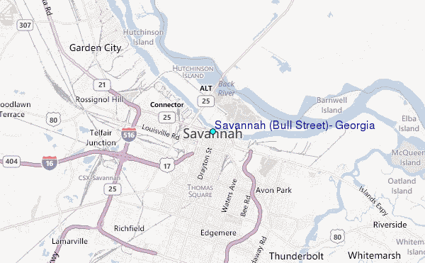
Use this relief map to navigate to tide stations, surf breaks and cities that are in the area of Savannah (Bull Street), Georgia.
Other Nearby Locations' tide tables and tide charts to Savannah (Bull Street), Georgia:
click location name for more details
 Surf breaks close to Savannah (Bull Street), Georgia:
|
||
|---|---|---|
| Closest surf break | North Jetty | 15 mi |
| Second closest surf break | 2nd Street | 16 mi |
| Third closest surf break | 17th Street Boardwalk | 16 mi |
| Fourth closest surf break | Sugar Shack | 16 mi |
| Fifth closest surf break | Tybee Pier | 16 mi |


 Nearest
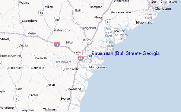