
| Distance / Altitude | Location | Report Date / Time | Live Weather | Wind | Gusts | Temp. | Visibility | Cloud |
|---|---|---|---|---|---|---|---|---|
| 9 km S / 0 m | lightning 9km N of Greenport (United States) | 2026-06-06 21:51 local (2026/06/07 01:51 GMT) | Thunderstorm | (- km/h at -) | — | |||
| 19 km WNW / 219 m | Chester Airport (CT) (United States) | 2026-06-06 20:35 local (2026/06/07 00:35 GMT) | Dry and partly cloudy | calm (0 km/h at 0) | 24°C | 16 | scattered scattered | |
| 24 km ENE / 3 m | BUOY-NLHC3 (Marine) | 2026-06-06 21:18 local (2026/06/07 01:18 GMT) | - (- km/h at -) | — | - | |||
| 26 km ENE / 218 m | Groton/New London Airport (Connecticut) | 2026-06-06 19:56 local (2026/06/06 23:56 GMT) | Clear | light winds from the S (7 km/h at 180) | 20°C | 16 | ||
| 32 km WNW / 92 m | thunderstorm affecting Higganum (United States) | 2026-06-06 21:20 local (2026/06/07 01:20 GMT) | Thunderstorm | (- km/h at -) | — | |||
| 34 km ENE / 12 m | thunderstorm affecting Old Mystic (United States) | 2026-06-06 21:49 local (2026/06/07 01:49 GMT) | Thunderstorm | (- km/h at -) | — | |||
| 34 km N / 126 m | lightning 4km E of Colchester (United States) | 2026-06-06 21:51 local (2026/06/07 01:51 GMT) | Thunderstorm | (- km/h at -) | — | |||
| 36 km NNE / 65 m | lightning 10km WNW of Norwich (United States) | 2026-06-06 21:51 local (2026/06/07 01:51 GMT) | Thunderstorm | (- km/h at -) | — | |||
| 37 km WNW / 137 m | thunderstorm affecting Durham (United States) | 2026-06-06 21:20 local (2026/06/07 01:20 GMT) | Thunderstorm | (- km/h at -) | — | |||
| 37 km NNE / 108 m | lightning 11km NNW of Montville Center (United States) | 2026-06-06 21:51 local (2026/06/07 01:51 GMT) | Thunderstorm | (- km/h at -) | — |
| Contours: | Roads & Rivers: | Select a
tide station / surf break / city |
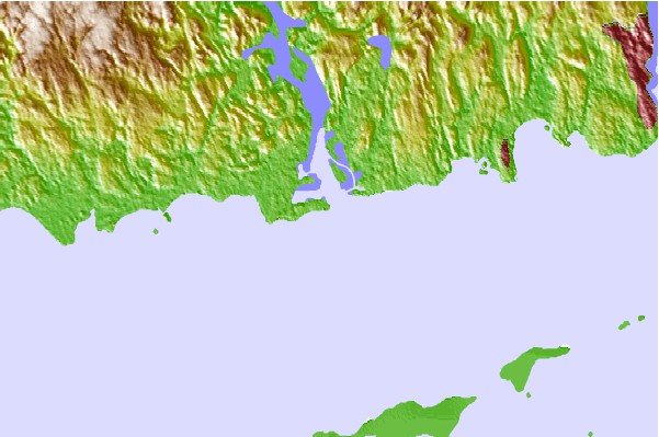

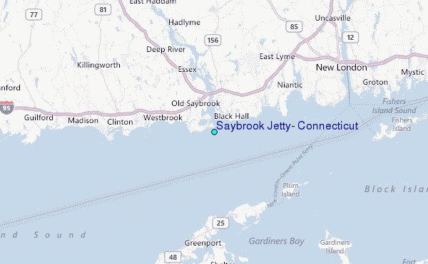
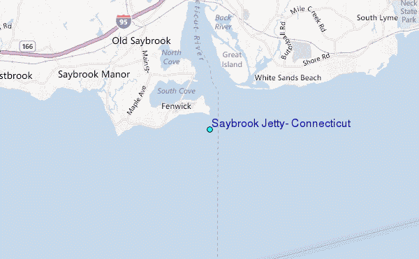
Use this relief map to navigate to tide stations, surf breaks and cities that are in the area of Saybrook Jetty, Connecticut.
Other Nearby Locations' tide tables and tide charts to Saybrook Jetty, Connecticut:
click location name for more details
 Surf breaks close to Saybrook Jetty, Connecticut:
|
||
|---|---|---|
| Closest surf break | Georgica (East Hampton) | 24 mi |
| Second closest surf break | Georgica Pond | 24 mi |
| Third closest surf break | Indian Wells | 24 mi |
| Fourth closest surf break | Hitherhills | 24 mi |
| Fifth closest surf break | Breachway | 25 mi |


 Nearest
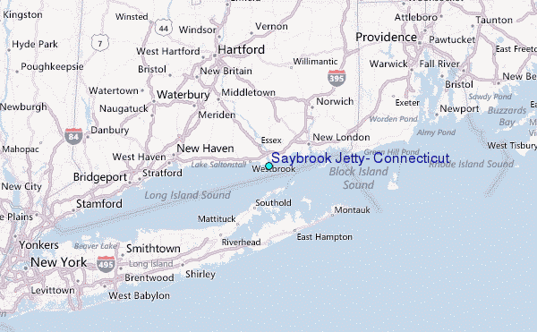