
| Distance / Altitude | Location | Report Date / Time | Live Weather | Wind | Gusts | Temp. | Visibility | Cloud |
|---|---|---|---|---|---|---|---|---|
| 53 km E / 216 m | Sand Point Airport (Alaska) | 2026-06-23 18:05 local (2026/06/24 02:05 GMT) | Dry and partly cloudy | wind obs. (15 kph from 160 degs) was rejected (- km/h at -) | 13°C | 16 | few scattered broken | |
| 53 km E / 3 m | BUOY-SNDA2 (Marine) | 2026-06-23 18:48 local (2026/06/24 02:48 GMT) | light winds from the S (13 km/h at 180) | — | - | |||
| 66 km SW / 47 m | King Cove Airport (Alabama) (Alaska) | 2026-06-23 17:56 local (2026/06/24 01:56 GMT) | Dry and partly cloudy | wind obs. (19 kph from 70 degs) was rejected (- km/h at -) | 13°C | 16 | scattered broken | |
| 72 km SW / 3 m | BUOY-KCXA2 (Marine) | 2026-06-23 19:02 local (2026/06/24 03:02 GMT) | light winds from the S (15 km/h at 190) | — | - | |||
| 72 km SW / 3 m | BUOY-KGCA2 (Marine) | 2026-06-23 18:48 local (2026/06/24 02:48 GMT) | light winds from the S (13 km/h at 180) | — | - | |||
| 72 km N / 3 m | BUOY-NLXA2 (Marine) | 2026-06-23 19:02 local (2026/06/24 03:02 GMT) | light winds from the NE (17 km/h at 50) | — | - | |||
| 90 km SW / 161 m | Cold Bay Airport (Alaska) | 2026-06-23 17:53 local (2026/06/24 01:53 GMT) | Dry and cloudy | light winds from the SSE (17 km/h at 160) | 16°C | 16 | overcast | |
| 137 km NNE / 3 m | BUOY-CPSA2 (Marine) | 2026-06-23 19:02 local (2026/06/24 03:02 GMT) | moderate winds from the NNE (21 km/h at 20) | 9°C | - | |||
| 145 km SW / 6 m | False Pass Airport (Alaska) | 2026-06-23 17:56 local (2026/06/24 01:56 GMT) | Dry and cloudy | light winds from the SE (17 km/h at 130) | 13°C | 16 | overcast | |
| 163 km SSE / 3 m | Shumagin Islands Buoy (Marine) | 2026-06-23 18:50 local (2026/06/24 02:50 GMT) | light winds from the E (14 km/h at 90) | 9°C | - |
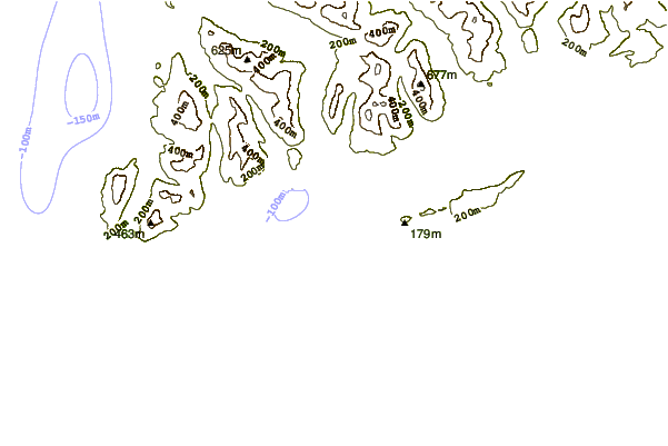
| Contours: | Roads & Rivers: | Select a
tide station / surf break / city |
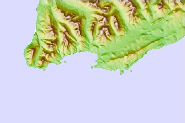
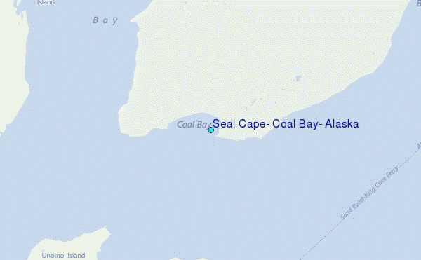
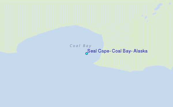
Use this relief map to navigate to tide stations, surf breaks and cities that are in the area of Seal Cape, Coal Bay, Alaska.
Other Nearby Locations' tide tables and tide charts to Seal Cape, Coal Bay, Alaska:
click location name for more details
 Surf breaks close to Seal Cape, Coal Bay, Alaska:
|
||
|---|---|---|
| Closest surf break | Fossil Beach Kodiak | 372 mi |
| Second closest surf break | Monashka Bay | 378 mi |
| Third closest surf break | Termination Point | 380 mi |
| Fourth closest surf break | Mill Bay | 381 mi |
| Fifth closest surf break | Bird Point (Tidal Bore) | 518 mi |


 Nearest
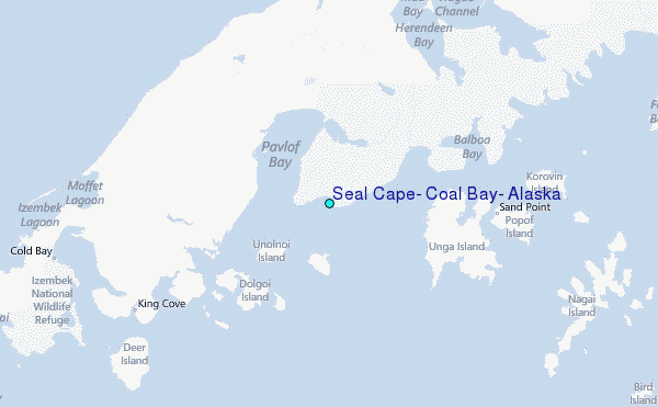