
| Distance / Altitude | Location | Report Date / Time | Live Weather | Wind | Gusts | Temp. | Visibility | Cloud |
|---|---|---|---|---|---|---|---|---|
| 38 km ENE / 6 m | ThevenardIsland (Australia) | 2026-06-15 09:00 local (2026/06/15 01:00 GMT) | no report | moderate winds from the SSE (24 km/h at 160) | 22°C | - | - no observation - | |
| 45 km E / 4 m | Onslow Airport (Australia) | 2026-06-15 09:00 local (2026/06/15 01:00 GMT) | Clear skies | light winds from the SSE (15 km/h at 160) | 18°C | - | - no observation - | |
| 93 km SSW / 214 m | Learmouth Airport (Australia) | 2026-06-15 08:30 local (2026/06/15 00:30 GMT) | Dry and partly cloudy | wind obs. (7 kph from 280 degs) was rejected (- km/h at -) | 17°C | 10.0 | no cloud | |
| 93 km SSW / 6 m | LearmonthAirport (Australia) | 2026-06-15 09:00 local (2026/06/15 01:00 GMT) | no report | wind obs. (7 kph from 240 degs) was rejected (- km/h at -) | 23°C | - | - no observation - | |
| 110 km NE / 7 m | BarrowIslandAirport (Australia) | 2026-06-15 09:00 local (2026/06/15 01:00 GMT) | no report | wind obs. (13 kph from 50 degs) was rejected (- km/h at -) | 22°C | - | - no observation - | |
| 139 km NE / 224 m | Varanus Island (Australia) | 2026-06-15 09:00 local (2026/06/15 01:00 GMT) | no report | wind obs. (20 kph from 80 degs) was rejected (- km/h at -) | 23°C | - | - no observation - | |
| 140 km ENE / 240 m | Mardie (Australia) | 2026-06-15 08:00 local (2026/06/15 00:00 GMT) | no report | light winds from the WSW (7 km/h at 250) | 24°C | - | - | |
| 238 km ENE / 6 m | KarrathaAero (Australia) | 2026-06-15 09:00 local (2026/06/15 01:00 GMT) | no report | light winds from the SW (13 km/h at 220) | 20°C | - | - no observation - | |
| 263 km ENE / 30 m | Legendre Island (Australia) | 2026-06-15 09:00 local (2026/06/15 01:00 GMT) | No report | moderate winds from the SSW (26 km/h at 210) | 22°C | - | - no observation - | |
| 273 km ENE / 11 m | RoebourneAero (Australia) | 2026-06-15 09:00 local (2026/06/15 01:00 GMT) | no report | wind obs. (20 kph from 110 degs) was rejected (- km/h at -) | 24°C | - | - no observation - |
| Contours: | Roads & Rivers: | Select a
tide station / surf break / city |
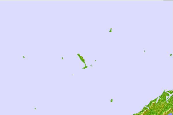

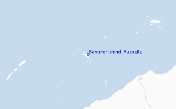
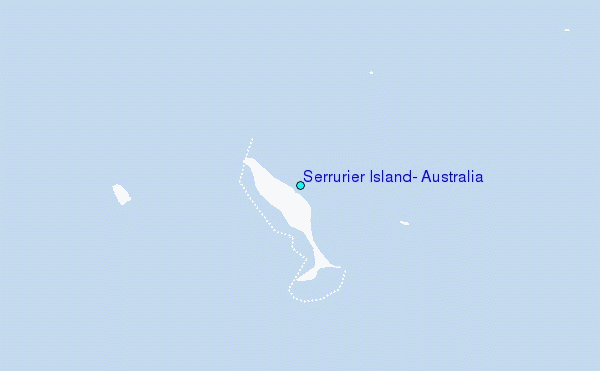
Use this relief map to navigate to tide stations, surf breaks and cities that are in the area of Serrurier Island, Australia.
Other Nearby Locations' tide tables and tide charts to Serrurier Island, Australia:
click location name for more details
 Surf breaks close to Serrurier Island, Australia:
|
||
|---|---|---|
| Closest surf break | Dunes | 38 mi |
| Second closest surf break | Lighthouse Bombie | 47 mi |
| Third closest surf break | Gnaraloo | 166 mi |
| Fourth closest surf break | Turtles | 181 mi |
| Fifth closest surf break | Red Bluff | 186 mi |


 Nearest
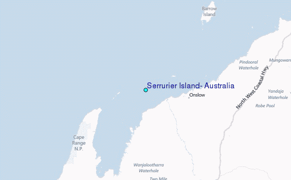