
| Distance / Altitude | Location | Report Date / Time | Live Weather | Wind | Gusts | Temp. | Visibility | Cloud |
|---|---|---|---|---|---|---|---|---|
| 14 km ESE / 3 m | Crystal River Airport (Florida) (Florida) | 2026-05-13 10:35 local (2026/05/13 14:35 GMT) | Dry and cloudy | calm (0 km/h at 0) | 23°C | 16 | overcast | |
| 39 km ESE / 15 m | Inverness Airport (Florida) (Florida) | 2026-05-13 10:35 local (2026/05/13 14:35 GMT) | Dry and cloudy | calm (0 km/h at 0) | 25°C | 11 | overcast | |
| 40 km WNW / 3 m | BUOY-CKYF1 (Marine) | 2026-05-13 10:48 local (2026/05/13 14:48 GMT) | light winds from the ENE (11 km/h at 70) | — | - | |||
| 52 km NNE / 23 m | Williston Municipal Airport (Florida) (Florida) | 2026-05-13 10:35 local (2026/05/13 14:35 GMT) | Dry and partly cloudy | calm (0 km/h at 0) | 25°C | 16 | scattered broken | |
| 54 km ENE / 220 m | Ocala Municipal Airport (Florida) | 2026-05-13 10:01 local (2026/05/13 14:01 GMT) | Dry and cloudy | light winds from the WNW (7 km/h at 290) | 24°C | 16 | broken overcast | |
| 56 km SSE / 219 m | Brooksville Airport (Florida) | 2026-05-13 09:53 local (2026/05/13 13:53 GMT) | Dry and partly cloudy | calm (0 km/h at 0) | 24°C | 16 | scattered | |
| 56 km ENE / 20 m | Dogwood Acres Mobile Home Park wx (United States) | 2026-05-13 10:27 local (2026/05/13 14:27 GMT) | heavy rain | calm (3 km/h at 332) | 26°C | - | - - 0 | |
| 59 km ENE / 22 m | Ocala (Florida) | 2026-05-13 11:07 local (2026/05/13 15:07 GMT) | dry | calm (3 km/h at 0) | 26°C | - | - - 0 | |
| 61 km ENE / 39 m | Ocala (Florida) | 2026-05-13 10:22 local (2026/05/13 14:22 GMT) | dry | - (- km/h at ) | — | - | - - 0 | |
| 65 km NE / 35 m | Reddick (Florida) | 2026-05-13 10:31 local (2026/05/13 14:31 GMT) | dry | calm (0 km/h at 317) | 24°C | - | - - 0 |
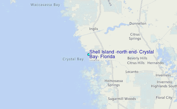
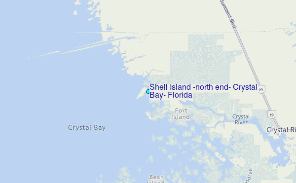
Choose Shell Island (north end), Crystal Bay, Florida Location Map Zoom:
| Contours: | Roads & Rivers: | Select a
tide station / surf break / city |
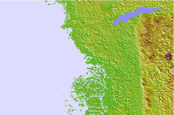
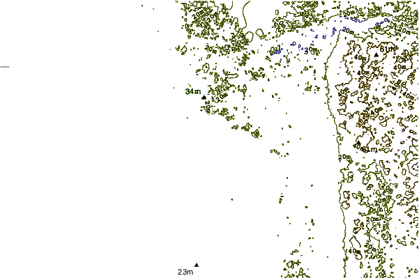
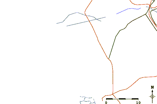
Use this relief map to navigate to tide stations, surf breaks and cities that are in the area of Shell Island (north end), Crystal Bay, Florida.
Other Nearby Locations' tide tables and tide charts to Shell Island (north end), Crystal Bay, Florida:
click location name for more details
 Surf breaks close to Shell Island (north end), Crystal Bay, Florida:
|
||
|---|---|---|
| Closest surf break | Anclote Island | 52 mi |
| Second closest surf break | Honeymoon Island | 57 mi |
| Third closest surf break | Clearwater Pass | 67 mi |
| Fourth closest surf break | Sand Key Park | 68 mi |
| Fifth closest surf break | Clearwater Beach | 68 mi |


 Nearest
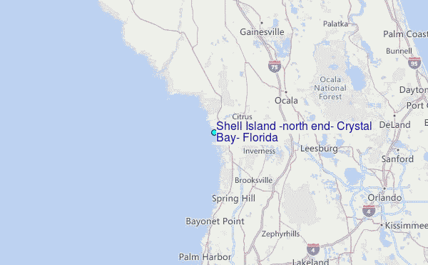