
| Distance / Altitude | Location | Report Date / Time | Live Weather | Wind | Gusts | Temp. | Visibility | Cloud |
|---|---|---|---|---|---|---|---|---|
| 15 km NW / 3 m | Blakeney Overfalls Waverider (Marine) | 2026-06-26 17:30 local (2026/06/26 16:30 GMT) | - (- km/h at -) | — | - | |||
| 15 km WSW / 10 m | Blakeney Harbour (United Kingdom) | 2026-06-26 18:00 local (2026/06/26 17:00 GMT) | - | light winds from the ENE (7 km/h at 64) | 30°C | - | - - 0 | |
| 26 km ESE / 3 m | Happisburgh Waverider (Marine) | 2026-06-26 17:30 local (2026/06/26 16:30 GMT) | - (- km/h at -) | — | - | |||
| 28 km S / 11 m | Taverham wx (United Kingdom) | 2026-06-26 16:04 local (2026/06/26 15:04 GMT) | dry | light winds from the SW (8 km/h at 230) | 37°C | - | - - 0 | |
| 33 km S / 16 m | Norwich (United Kingdom) | 2026-06-26 17:47 local (2026/06/26 16:47 GMT) | dry | calm (2 km/h at 244) | 37°C | - | - - 0 | |
| 37 km SSE / 506 m | Norwich Airport (United Kingdom) | 2026-06-26 17:20 local (2026/06/26 16:20 GMT) | - | light winds from the W (17 km/h at 260) | — | 0.0 | ||
| 51 km W / 3 m | North Well Waverider (Marine) | 2026-06-26 17:30 local (2026/06/26 16:30 GMT) | - (- km/h at -) | — | - | |||
| 55 km SSW / 216 m | Marham RAF Airport (United Kingdom) | 2026-06-26 17:20 local (2026/06/26 16:20 GMT) | Dry and partly cloudy | moderate winds from the SW (22 km/h at 230) | 35°C | 7.0 | no cloud | |
| 61 km WNW / 3 m | Chapel Point Waverider (Marine) | 2026-06-26 17:01 local (2026/06/26 16:01 GMT) | - (- km/h at -) | — | - | |||
| 61 km NNE / 3 m | East Anglia 2 Buoy (Marine) | 2026-06-26 17:00 local (2026/06/26 16:00 GMT) | light winds from the SE (11 km/h at 140) | 25°C | 9.3 |
| Contours: | Roads & Rivers: | Select a
tide station / surf break / city |
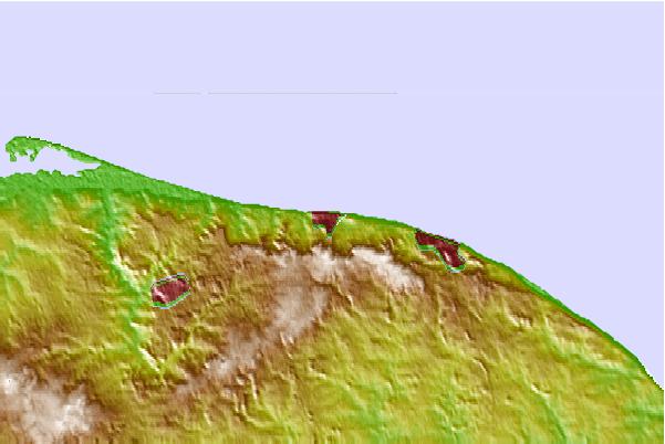
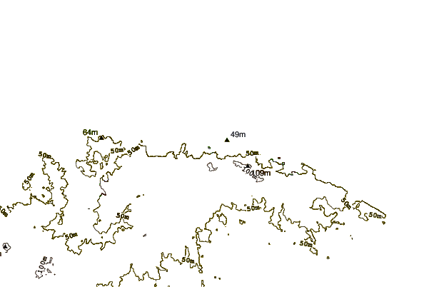
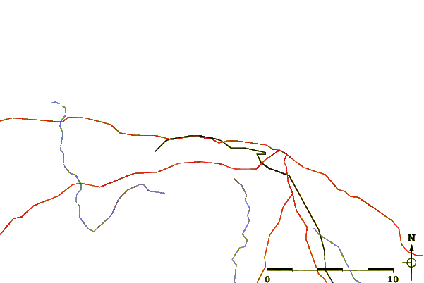
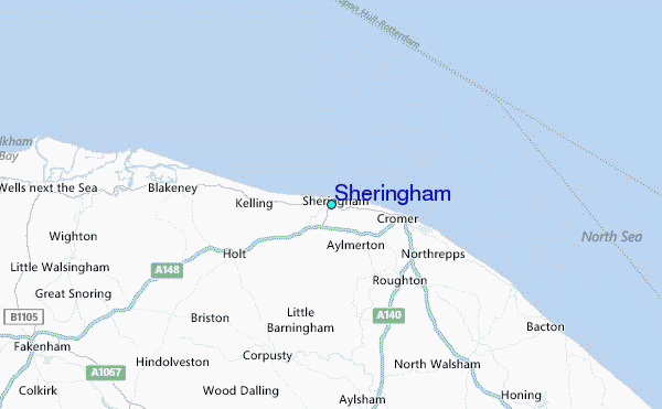
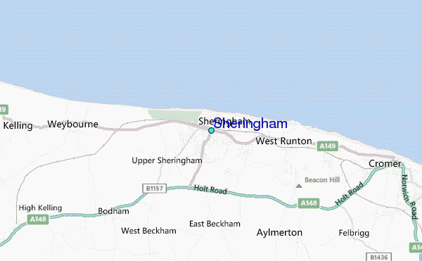
Use this relief map to navigate to tide stations, surf breaks and cities that are in the area of Sheringham.
Other Nearby Locations' tide tables and tide charts to Sheringham:
click location name for more details
 Surf breaks close to Sheringham:
|
||
|---|---|---|
| Closest surf break | East Runton | 2 mi |
| Second closest surf break | Cromer | 3 mi |
| Third closest surf break | Wells-next-the-sea | 16 mi |
| Fourth closest surf break | Walcott | 18 mi |
| Fifth closest surf break | Happisburgh | 21 mi |


 Nearest
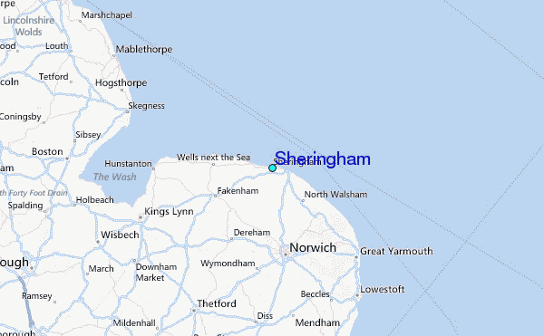