
| Distance / Altitude | Location | Report Date / Time | Live Weather | Wind | Gusts | Temp. | Visibility | Cloud |
|---|---|---|---|---|---|---|---|---|
| 39 km NE / 212 m | Babelthuap (Palau)/Roman Tmetuchl International Airport (Micronesia) | 2026-07-10 02:50 local (2026/07/09 17:50 GMT) | Dry and partly cloudy | light winds from the S (13 km/h at 180) | 28°C | 21 | scattered broken broken | |
| 500 km ENE / 205 m | Yap Island Airport (Micronesia) | 2026-07-10 02:51 local (2026/07/09 17:51 GMT) | Dry and partly cloudy | light winds from the N (7 km/h at 1) | 27°C | 19 | few scattered broken | |
| 520 km NE / 3 m | BUOY-52214 (Marine) | 2026-07-10 04:00 local (2026/07/09 19:00 GMT) | - (- km/h at -) | — | - | |||
| 637 km WNW / 0 m | lightning (Philippines) | 2026-07-10 04:48 local (2026/07/09 19:48 GMT) | Thunderstorm | (- km/h at -) | — | |||
| 656 km SSE / 15 m | SHIP3880 (Marine) | 2026-07-10 03:00 local (2026/07/09 18:00 GMT) | light winds from the SE (12.96 km/h at 130) | 30°C | 8.1 km | |||
| 655 km SSE / 15 m | SHIP1742 (Marine) | 2026-07-10 03:00 local (2026/07/09 18:00 GMT) | light winds from the SE (12.96 km/h at 130) | 30°C | 8.1 km | |||
| 655 km SSE / 15 m | SHIP6279 (Marine) | 2026-07-10 03:00 local (2026/07/09 18:00 GMT) | light winds from the SE (12.96 km/h at 130) | 30°C | 8.1 km | |||
| 655 km SSE / 3 m | SHIP3636 (Marine) | 2026-07-10 03:00 local (2026/07/09 18:00 GMT) | light winds from the SE (13 km/h at 130) | 30°C | 9.3 | |||
| 706 km SW / 15 m | SHIP2108 (Marine) | 2026-07-10 03:00 local (2026/07/09 18:00 GMT) | near gales from the SSW (59.4 km/h at 200) | 30°C | 17.7 km | |||
| 706 km SW / 15 m | SHIP5974 (Marine) | 2026-07-10 03:00 local (2026/07/09 18:00 GMT) | near gales from the SSW (59.4 km/h at 200) | 30°C | 17.7 km |
| Contours: | Roads & Rivers: | Select a
tide station / surf break / city |
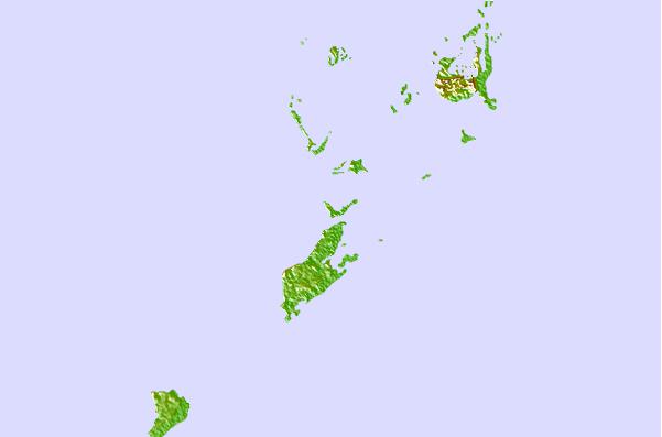
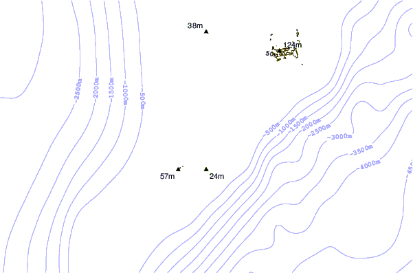
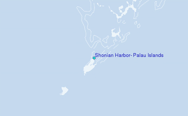
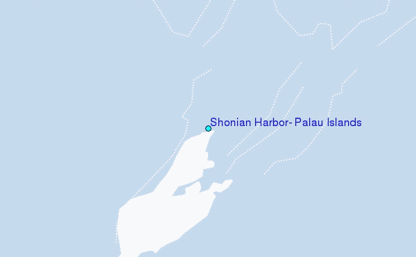
Use this relief map to navigate to tide stations, surf breaks and cities that are in the area of Shonian Harbor, Palau Islands.
Other Nearby Locations' tide tables and tide charts to Shonian Harbor, Palau Islands:
click location name for more details
 Surf breaks close to Shonian Harbor, Palau Islands:
|
||
|---|---|---|
| Closest surf break | Santa Maria Anguar | 13 mi |
| Second closest surf break | West Passage (Babelthuap) | 37 mi |
| Third closest surf break | Melekeok (Babelthuap) | 40 mi |
| Fourth closest surf break | Tago River | 565 mi |
| Fifth closest surf break | Marami Beach | 572 mi |


 Nearest
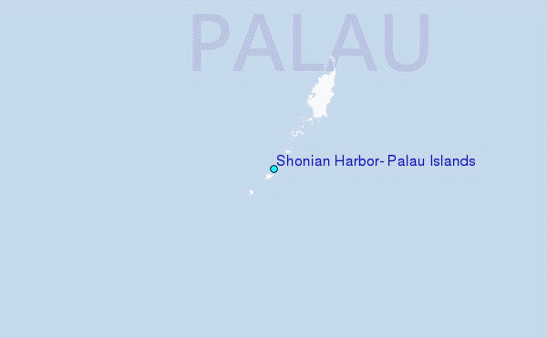