
| Distance / Altitude | Location | Report Date / Time | Live Weather | Wind | Gusts | Temp. | Visibility | Cloud |
|---|---|---|---|---|---|---|---|---|
| 93 km WSW / 10 m | Reykhólahöfn (Iceland) | 2026-07-02 03:00 local (2026/07/02 03:00 GMT) | - | near gales from the SSE (56 km/h at 156) | 8°C | - | - - 0 | |
| 95 km S / 120 m | Borgarnes (Israel) | 2026-07-02 01:30 local (2026/07/02 01:30 GMT) | dry | calm (0 km/h at 255) | 7°C | - | - - 0 | |
| 100 km ENE / 211 m | Akureyri Airport (Iceland) | 2026-07-02 02:00 local (2026/07/02 02:00 GMT) | Dry and partly cloudy | light winds from the S (17 km/h at 190) | 10°C | 10.0 | scattered | |
| 127 km SW / 118 m | Stykkisholmur (Iceland) | 2026-07-02 03:00 local (2026/07/02 03:00 GMT) | no report | wind obs. (20 kph from 280 degs) was rejected (- km/h at -) | 6°C | 70 | - | |
| 132 km W / 0 m | Æðey (Iceland) | 2026-07-02 03:00 local (2026/07/02 03:00 GMT) | no report | light winds from the SE (9 km/h at 130) | 6°C | - | - | |
| 153 km NE / 17 m | Grimsey Island Airport (Iceland) | 2026-07-02 03:00 local (2026/07/02 03:00 GMT) | no report | wind obs. (15 kph from 290 degs) was rejected (- km/h at -) | 5°C | - | - - - | |
| 158 km S / 101 m | Selfoss (Israel) | 2026-07-02 01:10 local (2026/07/02 01:10 GMT) | dry | light winds from the S (14 km/h at 171) | 7°C | - | - - 0 | |
| 158 km W / 27 m | Bolungavik (Iceland) | 2026-07-02 03:00 local (2026/07/02 03:00 GMT) | no report | wind obs. (20 kph from 80 degs) was rejected (- km/h at -) | 6°C | - | - - - | |
| 171 km S / 53 m | Reykjavik Airport (Iceland) | 2026-07-02 03:00 local (2026/07/02 03:00 GMT) | no report | wind obs. (9 kph from 110 degs) was rejected (- km/h at -) | 9°C | - | - - - | |
| 173 km S / 216 m | Reykjavik Airport (Iceland) | 2026-07-02 02:00 local (2026/07/02 02:00 GMT) | Dry and partly cloudy | moderate winds from the SW (28 km/h at 230) | 8°C | 10.0 | scattered |
| Contours: | Roads & Rivers: | Select a
tide station / surf break / city |
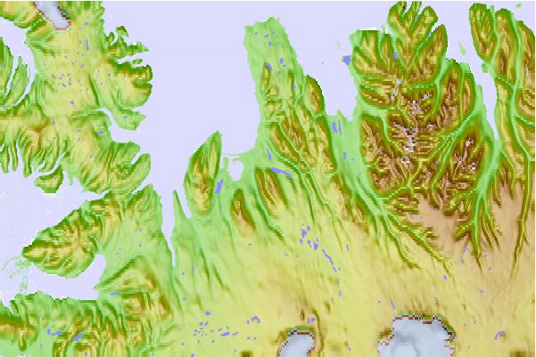
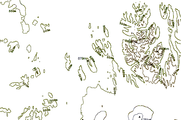
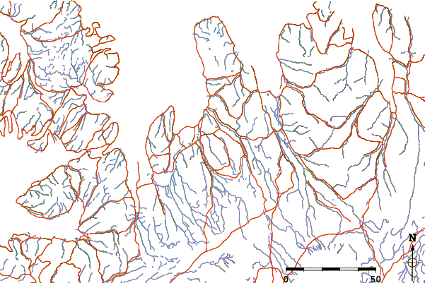
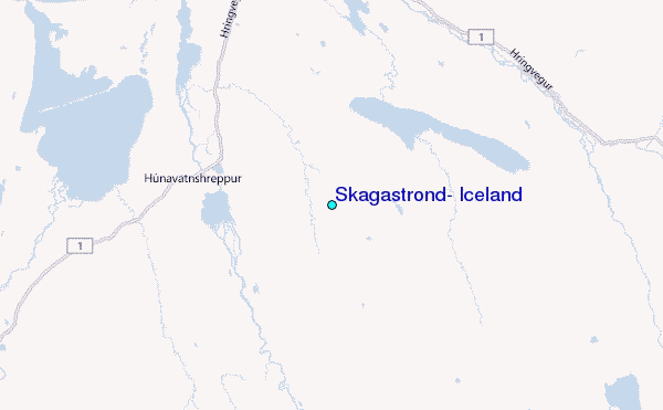
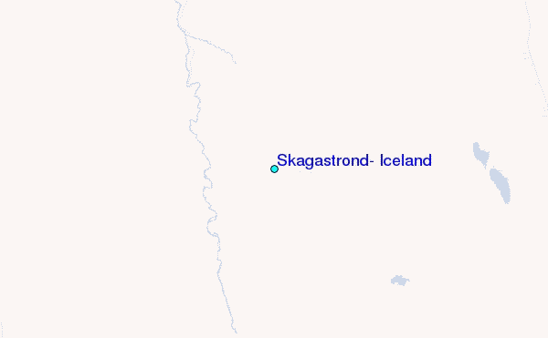
Use this relief map to navigate to tide stations, surf breaks and cities that are in the area of Skagaströnd, Iceland.
Other Nearby Locations' tide tables and tide charts to Skagastrond, Iceland:
click location name for more details
 Surf breaks close to Skagastrond, Iceland:
|
||
|---|---|---|
| Closest surf break | Eyvik | 92 mi |
| Second closest surf break | Grotta | 106 mi |
| Third closest surf break | Hafnarfjordur | 112 mi |
| Fourth closest surf break | Þorlákshöfn or Porlackshofn | 119 mi |
| Fifth closest surf break | Garur | 122 mi |


 Nearest
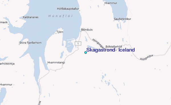