
| Distance / Altitude | Location | Report Date / Time | Live Weather | Wind | Gusts | Temp. | Visibility | Cloud |
|---|---|---|---|---|---|---|---|---|
| 14 km SW / 3 m | BUOY-COVM2 (Marine) | 2026-06-15 23:48 local (2026/06/16 03:48 GMT) | light winds from the WNW (11 km/h at 300) | — | - | |||
| 21 km ENE / 6 m | Cambridge-Dorchester Regional Airport (Maryland) (Maryland) | 2026-06-15 23:35 local (2026/06/16 03:35 GMT) | Dry and partly cloudy | light winds from the WNW (9 km/h at 290) | 21°C | 16 | scattered | |
| 21 km NE / 3 m | BUOY-CAMM2 (Marine) | 2026-06-15 23:48 local (2026/06/16 03:48 GMT) | light winds from the NW (18 km/h at 310) | — | - | |||
| 22 km WNW / 3 m | Gooses Reef- MD (Marine) | 2026-06-15 23:54 local (2026/06/16 03:54 GMT) | moderate winds from the NW (25 km/h at 310) | 21°C | - | |||
| 22 km SW / 3 m | BUOY-SLIM2 (Marine) | 2026-06-15 23:48 local (2026/06/16 03:48 GMT) | light winds from the NW (9 km/h at 310) | — | - | |||
| 23 km SSW / 218 m | Patuxent River Airport (Maryland) | 2026-06-15 22:52 local (2026/06/16 02:52 GMT) | - | light winds from the WNW (13 km/h at 290) | 22°C | 16 | few | |
| 24 km WNW / - m | SHIP354 (ocean) | 2026-06-15 23:00 local (2026/06/16 03:00 GMT) | - | moderate winds from the WNW (22 km/h at 290) | 21°C | - | no observation | |
| 24 km WNW / - m | SHIP1273 (ocean) | 2026-06-16 00:00 local (2026/06/16 04:00 GMT) | - | moderate winds from the WNW (25 km/h at 300) | 21°C | - | no observation | |
| 24 km WNW / - m | SHIP1783 (ocean) | 2026-06-16 00:00 local (2026/06/16 04:00 GMT) | - | fresh winds from the NW (29 km/h at 310) | 21°C | - | no observation | |
| 24 km WNW / - m | SHIP1860 (ocean) | 2026-06-15 23:00 local (2026/06/16 03:00 GMT) | - | moderate winds from the WNW (22 km/h at 290) | 21°C | - | no observation |
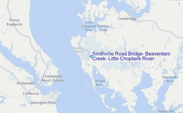
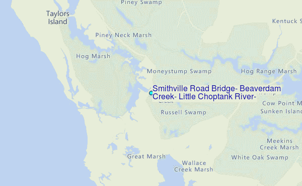
Choose Smithville Road Bridge, Beaverdam Creek, Little Choptank River, Maryland Location Map Zoom:
| Contours: | Roads & Rivers: | Select a
tide station / surf break / city |
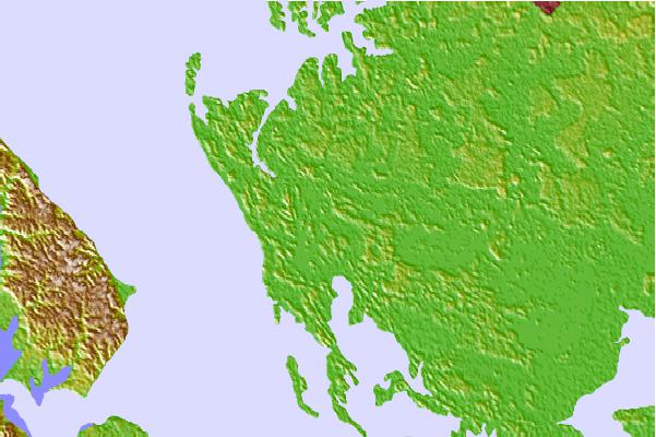
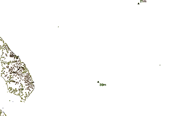
Use this relief map to navigate to tide stations, surf breaks and cities that are in the area of Smithville Road Bridge, Beaverdam Creek, Little Choptank River, Maryland.
Other Nearby Locations' tide tables and tide charts to Smithville Road Bridge, Beaverdam Creek, Little Choptank River, Maryland:
click location name for more details
 Surf breaks close to Smithville Road Bridge, Beaverdam Creek, Little Choptank River, Maryland:
|
||
|---|---|---|
| Closest surf break | Assateague | 61 mi |
| Second closest surf break | Chincoteague | 61 mi |
| Third closest surf break | Out Front | 62 mi |
| Fourth closest surf break | North Assateague (The Wedge) | 62 mi |
| Fifth closest surf break | Outside Shoals | 62 mi |


 Nearest
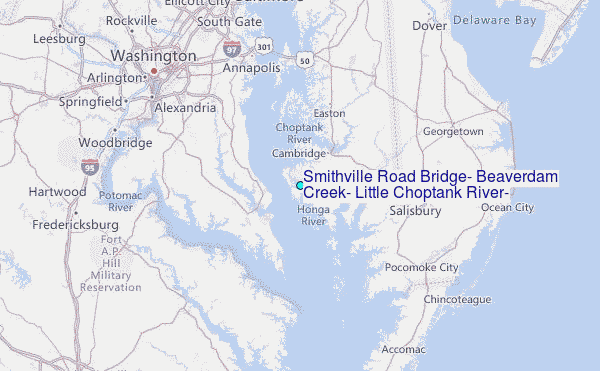