
| Distance / Altitude | Location | Report Date / Time | Live Weather | Wind | Gusts | Temp. | Visibility | Cloud |
|---|---|---|---|---|---|---|---|---|
| 12 km ENE / 202 m | Napa Airport (California) | 2026-06-18 22:54 local (2026/06/19 05:54 GMT) | Dry and partly cloudy | light winds from the WNW (17 km/h at 290) | 16°C | 16 | broken | |
| 13 km WSW / 1 m | Marin County Airport (California) (California) | 2026-06-18 23:35 local (2026/06/19 06:35 GMT) | Dry and cloudy | light winds from the WSW (13 km/h at 250) | 16°C | 16 | overcast | |
| 17 km SE / 3 m | BUOY-DPXC1 (Marine) | 2026-06-19 00:00 local (2026/06/19 07:00 GMT) | moderate winds from the W (24 km/h at 260) | 16°C | - | |||
| 19 km SW / 66 m | Novato (California) | 2026-06-18 23:08 local (2026/06/19 06:08 GMT) | dry | calm (3 km/h at 345) | 15°C | - | - - 0 | |
| 20 km W / 28 m | Petaluma Municipal Airport (California) (California) | 2026-06-18 23:35 local (2026/06/19 06:35 GMT) | Dry and cloudy | light winds from the W (15 km/h at 270) | 15°C | 16 | overcast | |
| 24 km SSW / 48 m | Fairfax wx (United States) | 2026-06-19 00:09 local (2026/06/19 07:09 GMT) | dry | calm (0 km/h at 296) | 15°C | - | - - 0 | |
| 26 km S / 3 m | BUOY-RCMC1 (Marine) | 2026-06-19 00:00 local (2026/06/19 07:00 GMT) | light winds from the SW (11 km/h at 220) | 16°C | - | |||
| 27 km SSE / 189 m | El Cerrito (California) | 2026-06-19 00:02 local (2026/06/19 07:02 GMT) | dry | - (- km/h at ) | — | - | - - 0 | |
| 28 km ESE / 3 m | BUOY-MZXC1 (Marine) | 2026-06-19 00:00 local (2026/06/19 07:00 GMT) | moderate winds from the WSW (22 km/h at 240) | 16°C | - | |||
| 28 km ESE / 3 m | BUOY-UPBC1 (Marine) | 2026-06-19 00:00 local (2026/06/19 07:00 GMT) | moderate winds from the W (24 km/h at 270) | — | - |
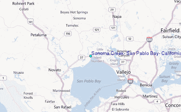
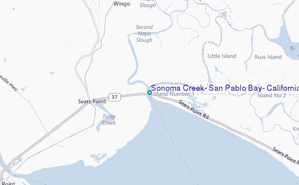
Choose Sonoma Creek, San Pablo Bay, California Location Map Zoom:
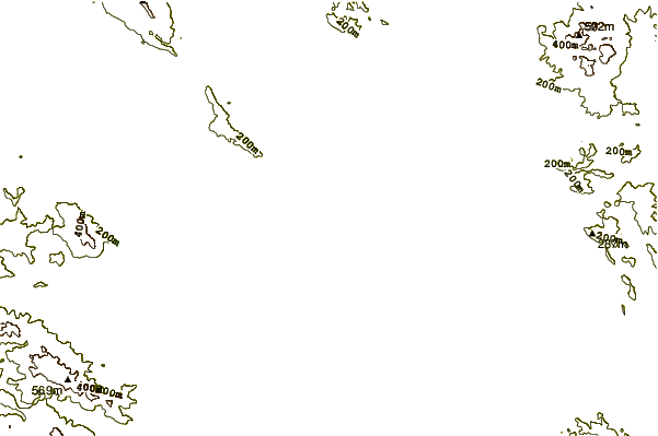
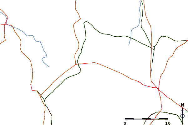
| Contours: | Roads & Rivers: | Select a
tide station / surf break / city |
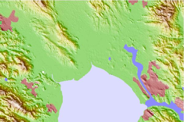
Use this relief map to navigate to tide stations, surf breaks and cities that are in the area of Sonoma Creek, San Pablo Bay, California.
Other Nearby Locations' tide tables and tide charts to Sonoma Creek, San Pablo Bay, California:
click location name for more details
 Surf breaks close to Sonoma Creek, San Pablo Bay, California:
|
||
|---|---|---|
| Closest surf break | Stinson Beach | 22 mi |
| Second closest surf break | Bolinas Jetty | 24 mi |
| Third closest surf break | Fort Cronkite Rodeo Beach | 24 mi |
| Fourth closest surf break | Fort Point | 24 mi |
| Fifth closest surf break | The Patch | 24 mi |


 Nearest
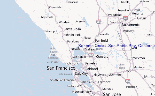