
| Distance / Altitude | Location | Report Date / Time | Live Weather | Wind | Gusts | Temp. | Visibility | Cloud |
|---|---|---|---|---|---|---|---|---|
| 199 km ENE / 0 m | lightning 144km WNW of Manokwari (Indonesia) | 2026-07-10 04:03 local (2026/07/09 19:03 GMT) | Thunderstorm | (- km/h at -) | — | |||
| 248 km SW / 15 m | SHIP2749 (Marine) | 2026-07-10 03:00 local (2026/07/09 18:00 GMT) | calm (3.6 km/h at 160) | — | - km | |||
| 458 km SSW / 1 m | Leahari wx (Indonesia) | 2026-07-10 04:17 local (2026/07/09 19:17 GMT) | - | - (- km/h at ) | 27°C | - | - - 0 | |
| 474 km SSW / 12 m | Ambon-Pattimura (Indonesia) | 2026-07-10 03:30 local (2026/07/09 18:30 GMT) | Dry and partly cloudy | calm (4 km/h at 200) | 25°C | 10.0 | scattered | |
| 539 km E / 150 m | Biak/Frans Kaisiepo Airport (Indonesia) | 2026-07-10 03:30 local (2026/07/09 18:30 GMT) | - | light winds from the NE (6 km/h at 40) | 26°C | 10.0 | few | |
| 473 km SSW / 12 m | Ambon-Pattimura (Indonesia) | 2026-07-10 03:30 local (2026/07/09 18:30 GMT) | Dry and partly cloudy | calm (4 km/h at 200) | 25°C | 10.0 | scattered | |
| 539 km ENE / 15 m | SHIP3880 (Marine) | 2026-07-10 03:00 local (2026/07/09 18:00 GMT) | light winds from the SE (12.96 km/h at 130) | 30°C | 8.1 km | |||
| 540 km E / 150 m | Biak/Frans Kaisiepo Airport (Indonesia) | 2026-07-10 03:30 local (2026/07/09 18:30 GMT) | - | light winds from the NE (6 km/h at 40) | 26°C | 10.0 | few | |
| 549 km ENE / 15 m | SHIP1742 (Marine) | 2026-07-10 03:00 local (2026/07/09 18:00 GMT) | light winds from the SE (12.96 km/h at 130) | 30°C | 8.1 km | |||
| 549 km ENE / 15 m | SHIP6279 (Marine) | 2026-07-10 03:00 local (2026/07/09 18:00 GMT) | light winds from the SE (12.96 km/h at 130) | 30°C | 8.1 km |
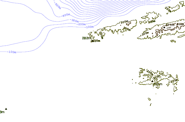
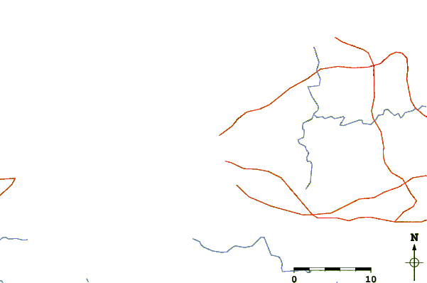
| Contours: | Roads & Rivers: | Select a
tide station / surf break / city |
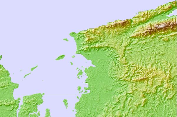
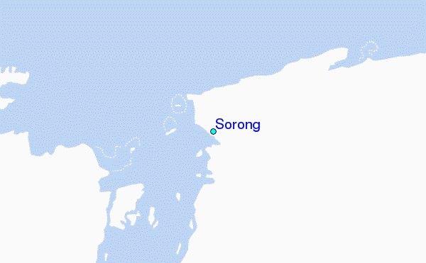
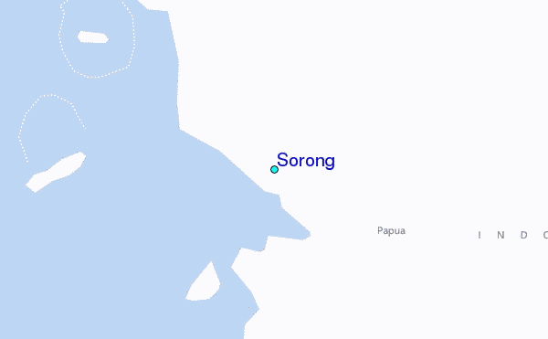
Use this relief map to navigate to tide stations, surf breaks and cities that are in the area of Sorong.
Other Nearby Locations' tide tables and tide charts to Sorong:
click location name for more details
 Surf breaks close to Sorong:
|
||
|---|---|---|
| Closest surf break | Santa Maria Anguar | 575 mi |
| Second closest surf break | West Passage (Babelthuap) | 623 mi |
| Third closest surf break | Melekeok (Babelthuap) | 625 mi |
| Fourth closest surf break | Wutung Village Reef | 683 mi |
| Fifth closest surf break | Lidos Left | 698 mi |


 Nearest
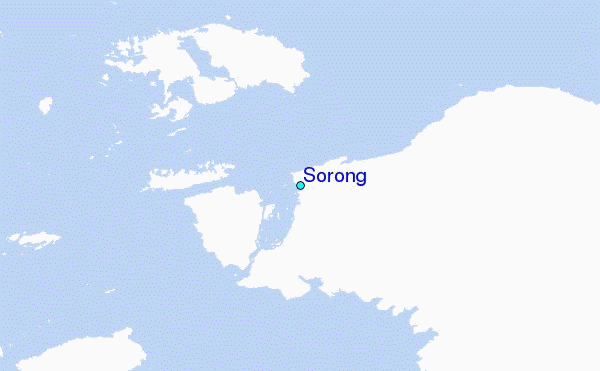