
| Distance / Altitude | Location | Report Date / Time | Live Weather | Wind | Gusts | Temp. | Visibility | Cloud |
|---|---|---|---|---|---|---|---|---|
| 6 km SW / 46 m | thunderstorm affecting Mount Sinai (United States) | 2026-07-21 13:32 local (2026/07/21 17:32 GMT) | Thunderstorm | (- km/h at -) | — | |||
| 9 km SSW / 44 m | Terryville (New York) | 2026-07-21 11:26 local (2026/07/21 15:26 GMT) | dry | calm (3 km/h at 131) | 23°C | - | - - 0 | |
| 13 km WNW / 0 m | lightning 11km N of Port Jefferson (United States) | 2026-07-21 13:32 local (2026/07/21 17:32 GMT) | Thunderstorm | (- km/h at -) | — | |||
| 15 km N / 0 m | lightning 15km N of Miller Place (United States) | 2026-07-21 13:45 local (2026/07/21 17:45 GMT) | Thunderstorm | (- km/h at -) | — | |||
| 16 km NNE / 0 m | lightning 14km N of Rocky Point (United States) | 2026-07-21 13:47 local (2026/07/21 17:47 GMT) | Thunderstorm | (- km/h at -) | — | |||
| 17 km WNW / 0 m | lightning 12km N of East Setauket (United States) | 2026-07-21 13:16 local (2026/07/21 17:16 GMT) | Thunderstorm | (- km/h at -) | — | |||
| 18 km NNE / 0 m | lightning 17km N of East Shoreham (United States) | 2026-07-21 13:46 local (2026/07/21 17:46 GMT) | Thunderstorm | (- km/h at -) | — | |||
| 18 km NE / 0 m | lightning 16km N of Wading River (United States) | 2026-07-21 13:46 local (2026/07/21 17:46 GMT) | Thunderstorm | (- km/h at -) | — | |||
| 18 km SSE / 217 m | Shirley Airport (New York) | 2026-07-21 12:24 local (2026/07/21 16:24 GMT) | Dry and cloudy | moderate winds from the SSE (28 km/h at 150) | 24°C | 16 | overcast | |
| 21 km S / 218 m | Islip Airport (New York) | 2026-07-21 11:56 local (2026/07/21 15:56 GMT) | Dry and cloudy | moderate winds from the SSE (26 km/h at 150) | 24°C | 16 | broken overcast |
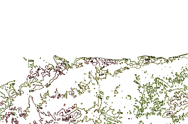
| Contours: | Roads & Rivers: | Select a
tide station / surf break / city |
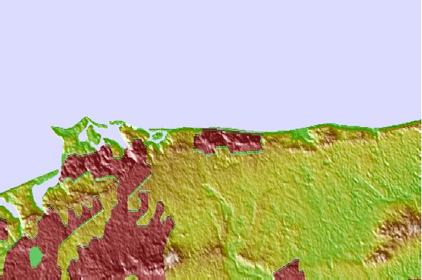
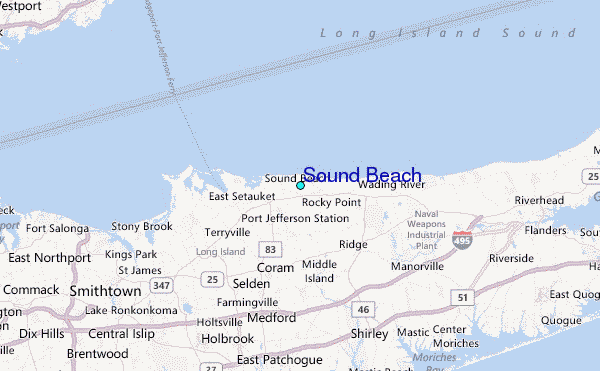
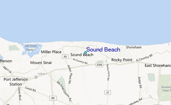
Use this relief map to navigate to tide stations, surf breaks and cities that are in the area of Sound Beach.
Other Nearby Locations' tide tables and tide charts to Sound Beach:
click location name for more details
 Surf breaks close to Sound Beach:
|
||
|---|---|---|
| Closest surf break | Fire Island | 16 mi |
| Second closest surf break | Cupsogue | 19 mi |
| Third closest surf break | Jetty | 20 mi |
| Fourth closest surf break | Point o Woods | 23 mi |
| Fifth closest surf break | Road K | 25 mi |


 Nearest
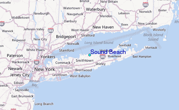