
| Distance / Altitude | Location | Report Date / Time | Live Weather | Wind | Gusts | Temp. | Visibility | Cloud |
|---|---|---|---|---|---|---|---|---|
| 56 km ENE / 193 m | Sangster/Montego Bay Airport (Jamaica) | 2026-07-09 13:00 local (2026/07/09 18:00 GMT) | Dry and partly cloudy | fresh winds from the E (30 km/h at 90) | 33°C | 10.0 | scattered few | |
| 134 km ENE / 0 m | lightning 25km NNE of Runaway Bay (Jamaica) | 2026-07-09 12:32 local (2026/07/09 17:32 GMT) | Thunderstorm | (- km/h at -) | — | |||
| 152 km NW / 0 m | lightning 155km NW of Lucea (Jamaica) | 2026-07-09 13:03 local (2026/07/09 18:03 GMT) | Thunderstorm | (- km/h at -) | — | |||
| 176 km ESE / 191 m | Kingston/Norman Manley International Airport (Jamaica) | 2026-07-09 13:00 local (2026/07/09 18:00 GMT) | - | fresh winds from the ESE (33 km/h at 120) | 33°C | |||
| 185 km NW / 0 m | lightning 170km SW of Santa Cruz del Sur (Cuba) | 2026-07-09 12:33 local (2026/07/09 17:33 GMT) | Thunderstorm | (- km/h at -) | — | |||
| 219 km WNW / 362 m | Gerrard Smith Airport (Grand Cayman Is) | 2026-07-09 13:00 local (2026/07/09 18:00 GMT) | - | light winds from the E (19 km/h at 90) | 32°C | 10.0 | few | |
| 235 km WNW / 0 m | lightning 91km NE of East End (Cayman Islands) | 2026-07-09 14:45 local (2026/07/09 19:45 GMT) | Thunderstorm | (- km/h at -) | — | |||
| 278 km SW / 3 m | SHIP1169 (Marine) | 2026-07-09 13:00 local (2026/07/09 18:00 GMT) | fresh winds from the E (37 km/h at 80) | 27°C | 20.4 | |||
| 278 km SW / 3 m | SHIP5633 (Marine) | 2026-07-09 13:00 local (2026/07/09 18:00 GMT) | fresh winds from the E (37 km/h at 80) | 27°C | 20.4 | |||
| 278 km SW / 3 m | SHIP1444 (Marine) | 2026-07-09 13:00 local (2026/07/09 18:00 GMT) | fresh winds from the E (37 km/h at 80) | 27°C | 20.4 |
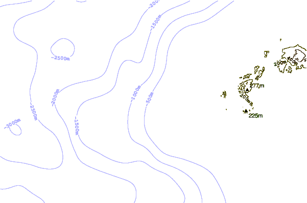
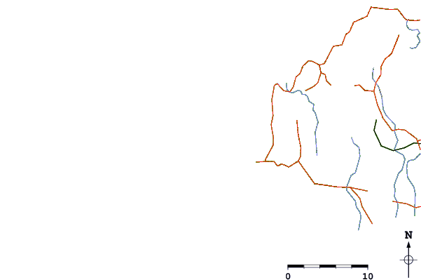
| Contours: | Roads & Rivers: | Select a
tide station / surf break / city |
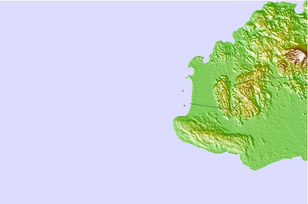
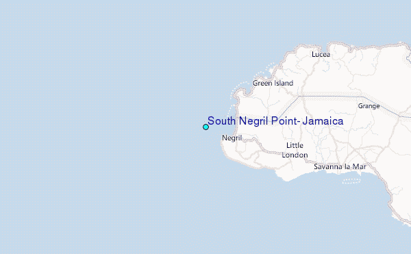
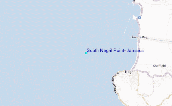
Use this relief map to navigate to tide stations, surf breaks and cities that are in the area of South Negril Point, Jamaica.
Other Nearby Locations' tide tables and tide charts to South Negril Point, Jamaica:
click location name for more details
 Surf breaks close to South Negril Point, Jamaica:
|
||
|---|---|---|
| Closest surf break | Discovery Bay | 67 mi |
| Second closest surf break | Runaway Bay | 71 mi |
| Third closest surf break | Lighthouse 2 | 109 mi |
| Fourth closest surf break | Zoo (Bull Bay) | 113 mi |
| Fifth closest surf break | Copa (Bull Bay) | 115 mi |


 Nearest
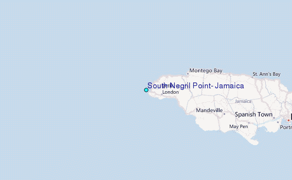