
| Distance / Altitude | Location | Report Date / Time | Live Weather | Wind | Gusts | Temp. | Visibility | Cloud |
|---|---|---|---|---|---|---|---|---|
| 12 km E / 0 m | lightning 41km NE of Darien (United States) | 2026-06-17 12:16 local (2026/06/17 16:16 GMT) | Thunderstorm | (- km/h at -) | — | |||
| 20 km S / 3 m | BUOY-SAXG1 (Marine) | 2026-06-17 12:00 local (2026/06/17 16:00 GMT) | fresh winds from the WSW (37 km/h at 240) | 29°C | - | |||
| 20 km WNW / 15 m | lightning 14km ESE of Midway (United States) | 2026-06-17 12:01 local (2026/06/17 16:01 GMT) | Thunderstorm | (- km/h at -) | — | |||
| 31 km E / 0 m | lightning 45km SE of Skidaway Island (United States) | 2026-06-17 12:47 local (2026/06/17 16:47 GMT) | Thunderstorm | (- km/h at -) | — | |||
| 36 km ESE / 3 m | Grays Reef Buoy (Marine) | 2026-06-17 12:20 local (2026/06/17 16:20 GMT) | moderate winds from the SW (25 km/h at 220) | 27°C | - | |||
| 45 km SSW / 217 m | Brunswick Golden Isles Airport (Georgia) | 2026-06-17 11:35 local (2026/06/17 15:35 GMT) | Dry and partly cloudy | fresh winds from the SW (35 km/h at 230) | 30°C | 16 | broken broken broken | |
| 48 km WNW / 214 m | Fort Stewart/Wright Army Airfield Airport (Georgia) | 2026-06-17 10:55 local (2026/06/17 14:55 GMT) | Dry and cloudy | light winds from the NW (6 km/h at 320) | 28°C | 16 | broken overcast | |
| 49 km N / 217 m | Savannah/Hunter Army Airfield Airport (Georgia) | 2026-06-17 11:25 local (2026/06/17 15:25 GMT) | Dry and partly cloudy | moderate winds from the W (24 km/h at 260) | 29°C | 16 | scattered broken broken | |
| 51 km S / 218 m | Brunswick Airport (Georgia) | 2026-06-17 11:35 local (2026/06/17 15:35 GMT) | Dry and partly cloudy | moderate winds from the WSW (24 km/h at 250) | 30°C | 16 | scattered broken broken | |
| 53 km SE / 0 m | lightning 64km ENE of Saint Simon Mills (United States) | 2026-06-17 12:47 local (2026/06/17 16:47 GMT) | Thunderstorm | (- km/h at -) | — |
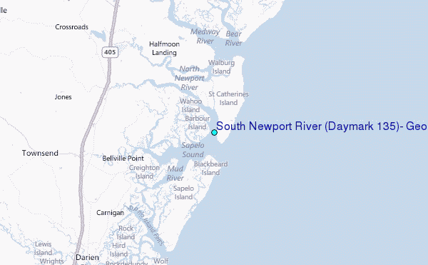
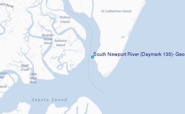
Choose South Newport River (Daymark #135), Georgia Location Map Zoom:
| Contours: | Roads & Rivers: | Select a
tide station / surf break / city |
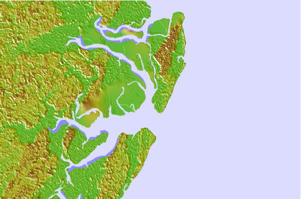

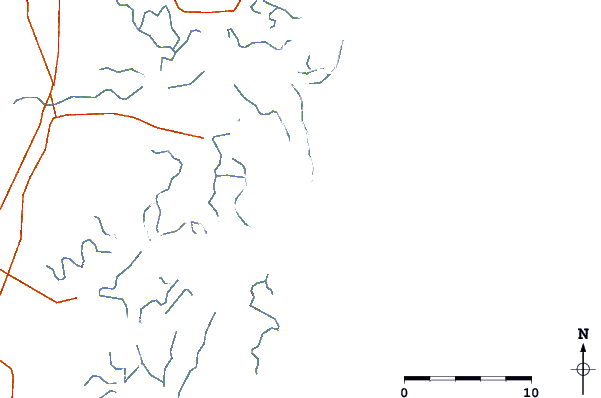
Use this relief map to navigate to tide stations, surf breaks and cities that are in the area of South Newport River (Daymark #135), Georgia.
Other Nearby Locations' tide tables and tide charts to South Newport River (Daymark #135), Georgia:
click location name for more details
 Surf breaks close to South Newport River (Daymark #135), Georgia:
|
||
|---|---|---|
| Closest surf break | Sea Island | 29 mi |
| Second closest surf break | Goulds Inlet | 30 mi |
| Third closest surf break | St Simons Island | 32 mi |
| Fourth closest surf break | Coastguard/St Simons | 32 mi |
| Fifth closest surf break | 17th Street Boardwalk | 35 mi |


 Nearest
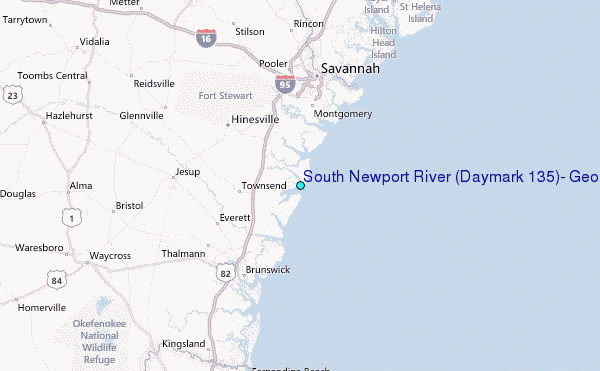