
| Distance / Altitude | Location | Report Date / Time | Live Weather | Wind | Gusts | Temp. | Visibility | Cloud |
|---|---|---|---|---|---|---|---|---|
| 40 km ESE / 3 m | BUOY-EINL1 (Marine) | 2026-06-23 21:48 local (2026/06/24 02:48 GMT) | moderate winds from the W (21 km/h at 260) | — | - | |||
| 42 km E / 3 m | BUOY-AMRL1 (Marine) | 2026-06-23 21:48 local (2026/06/24 02:48 GMT) | calm (4 km/h at 220) | — | - | |||
| 51 km ENE / 209 m | Patterson Williams Memorial Airport (Louisiana) | 2026-06-23 20:56 local (2026/06/24 01:56 GMT) | Clear | light winds from the SW (9 km/h at 220) | 27°C | 16 | ||
| 53 km WSW / 3 m | BUOY-FRWL1 (Marine) | 2026-06-23 21:48 local (2026/06/24 02:48 GMT) | light winds from the SSW (9 km/h at 210) | — | - | |||
| 55 km ENE / 3 m | BUOY-TESL1 (Marine) | 2026-06-23 21:48 local (2026/06/24 02:48 GMT) | light winds from the SW (8 km/h at 230) | — | - | |||
| 62 km N / 218 m | New Iberia Airport (Louisiana) | 2026-06-23 20:53 local (2026/06/24 01:53 GMT) | Clear | light winds from the SW (13 km/h at 230) | 27°C | 16 | ||
| 63 km NW / 5 m | Abbeville Chris Crusta Memorial Airport (Louisiana) (Louisiana) | 2026-06-23 21:35 local (2026/06/24 02:35 GMT) | Clear | light winds from the SSW (7 km/h at 210) | 27°C | 16 | ||
| 74 km NW / 8 m | Youngsville (Louisiana) | 2026-06-23 22:00 local (2026/06/24 03:00 GMT) | dry | wind obs. (10 kph from 106 degs) was rejected (- km/h at -) | 28°C | - | - - 0 | |
| 74 km WNW / 3.7 m | Kaplan (Louisiana) | 2026-06-23 21:12 local (2026/06/24 02:12 GMT) | dry | calm (2 km/h at 255) | 27°C | - | - - 0 | |
| 83 km NW / 8 m | Duson (Louisiana) | 2026-06-23 21:27 local (2026/06/24 02:27 GMT) | dry | calm (0 km/h at 0) | 28°C | - | - - 0 |
Choose South Point, Marsh Island, Atchafalaya Bay, Louisiana Location Map Zoom:
| Contours: | Roads & Rivers: | Select a
tide station / surf break / city |
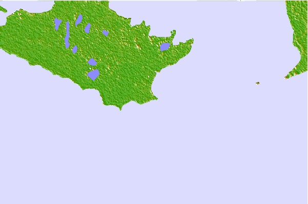

Use this relief map to navigate to tide stations, surf breaks and cities that are in the area of South Point, Marsh Island, Atchafalaya Bay, Louisiana.
Other Nearby Locations' tide tables and tide charts to South Point, Marsh Island, Atchafalaya Bay, Louisiana:
click location name for more details
 Surf breaks close to South Point, Marsh Island, Atchafalaya Bay, Louisiana:
|
||
|---|---|---|
| Closest surf break | Holly Beach | 104 mi |
| Second closest surf break | Bolivar | 162 mi |
| Third closest surf break | Chandeleur Islands | 178 mi |
| Fourth closest surf break | Meacom Pier | 178 mi |
| Fifth closest surf break | Galveston - Flagship Pier | 181 mi |


 Nearest