
| Distance / Altitude | Location | Report Date / Time | Live Weather | Wind | Gusts | Temp. | Visibility | Cloud |
|---|---|---|---|---|---|---|---|---|
| 27 km WSW / 3 m | BUOY-FRWL1 (Marine) | 2026-06-23 21:48 local (2026/06/24 02:48 GMT) | light winds from the SSW (9 km/h at 210) | — | - | |||
| 45 km N / 5 m | Abbeville Chris Crusta Memorial Airport (Louisiana) (Louisiana) | 2026-06-23 21:35 local (2026/06/24 02:35 GMT) | Clear | light winds from the SSW (7 km/h at 210) | 27°C | 16 | ||
| 50 km NW / 3.7 m | Kaplan (Louisiana) | 2026-06-23 21:12 local (2026/06/24 02:12 GMT) | dry | calm (2 km/h at 255) | 27°C | - | - - 0 | |
| 52 km NNE / 218 m | New Iberia Airport (Louisiana) | 2026-06-23 20:53 local (2026/06/24 01:53 GMT) | Clear | light winds from the SW (13 km/h at 230) | 27°C | 16 | ||
| 59 km N / 8 m | Youngsville (Louisiana) | 2026-06-23 22:00 local (2026/06/24 03:00 GMT) | dry | wind obs. (10 kph from 106 degs) was rejected (- km/h at -) | 28°C | - | - - 0 | |
| 65 km N / 8 m | Duson (Louisiana) | 2026-06-23 21:27 local (2026/06/24 02:27 GMT) | dry | calm (0 km/h at 0) | 28°C | - | - - 0 | |
| 68 km ESE / 3 m | BUOY-EINL1 (Marine) | 2026-06-23 21:48 local (2026/06/24 02:48 GMT) | moderate winds from the W (21 km/h at 260) | — | - | |||
| 68 km N / 219 m | Lafayette Airport (Louisiana) | 2026-06-23 20:53 local (2026/06/24 01:53 GMT) | Clear | light winds from the WSW (11 km/h at 240) | 29°C | 16 | ||
| 69 km ESE / 3 m | BUOY-AMRL1 (Marine) | 2026-06-23 21:48 local (2026/06/24 02:48 GMT) | calm (4 km/h at 220) | — | - | |||
| 71 km ENE / 209 m | Patterson Williams Memorial Airport (Louisiana) | 2026-06-23 20:56 local (2026/06/24 01:56 GMT) | Clear | light winds from the SW (9 km/h at 220) | 27°C | 16 |
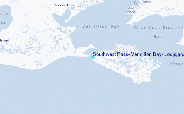
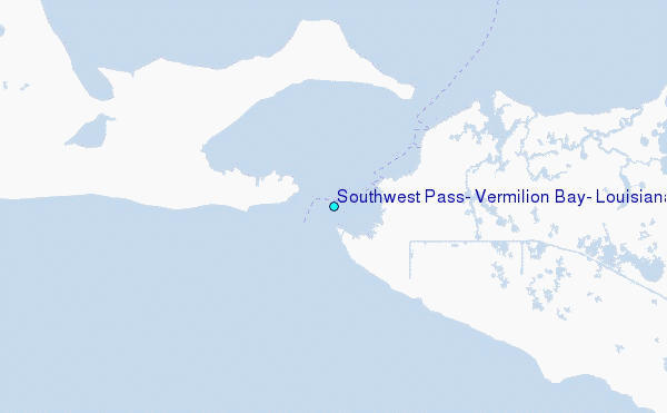
Choose Southwest Pass, Vermilion Bay, Louisiana Location Map Zoom:
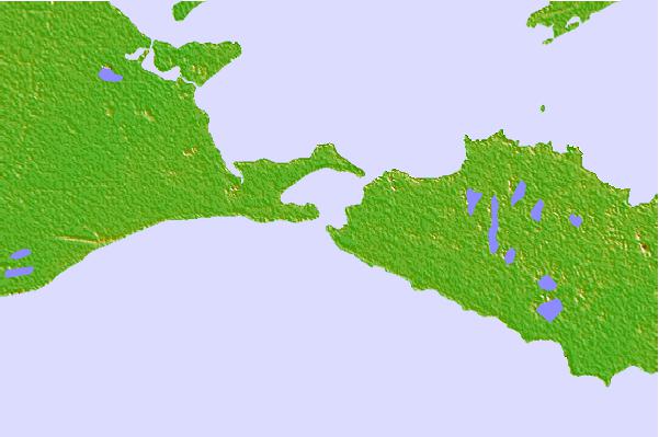
| Contours: | Roads & Rivers: | Select a
tide station / surf break / city |

Use this relief map to navigate to tide stations, surf breaks and cities that are in the area of Southwest Pass, Vermilion Bay, Louisiana.
Other Nearby Locations' tide tables and tide charts to Southwest Pass, Vermilion Bay, Louisiana:
click location name for more details
 Surf breaks close to Southwest Pass, Vermilion Bay, Louisiana:
|
||
|---|---|---|
| Closest surf break | Holly Beach | 87 mi |
| Second closest surf break | Bolivar | 146 mi |
| Third closest surf break | Meacom Pier | 163 mi |
| Fourth closest surf break | Galveston - Flagship Pier | 165 mi |
| Fifth closest surf break | Galveston | 166 mi |


 Nearest
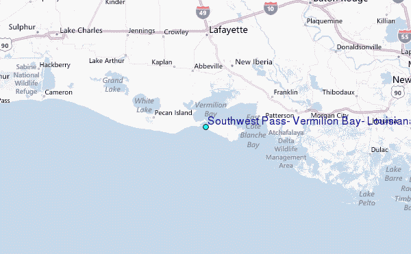