
| Distance / Altitude | Location | Report Date / Time | Live Weather | Wind | Gusts | Temp. | Visibility | Cloud |
|---|---|---|---|---|---|---|---|---|
| 0 km NW / 1 m | Spring Bay Ntc Aws (Australia) | 2026-07-14 10:00 local (2026/07/14 00:00 GMT) | no report | - (- km/h at -) | 11°C | - | - | |
| 14 km SSE / 28 m | Maria Island (Point Lesueur) (Australia) | 2026-07-14 10:00 local (2026/07/14 00:00 GMT) | no report | wind obs. (33 kph from 200 degs) was rejected (- km/h at -) | 10°C | - | - - - | |
| 40 km W / 462 m | Tunnak Fire Station (Australia) | 2026-07-14 09:00 local (2026/07/13 23:00 GMT) | no report | wind obs. (9 kph from 220 degs) was rejected (- km/h at -) | 5°C | - | - | |
| 41 km S / 13 m | Dunalley (Stroud Point) (Australia) | 2026-07-14 10:00 local (2026/07/14 00:00 GMT) | no report | wind obs. (20 kph from 220 degs) was rejected (- km/h at -) | 10°C | - | - | |
| 44 km SW / 45 m | Campania (Kinkora) (Australia) | 2026-07-14 10:00 local (2026/07/14 00:00 GMT) | no report | wind obs. (13 kph from 190 degs) was rejected (- km/h at -) | 9°C | - | - | |
| 48 km SSW / 213 m | Hobart Airport (Australia) | 2026-07-14 09:30 local (2026/07/13 23:30 GMT) | Dry and partly cloudy | moderate winds from the NW (24 km/h at 320) | 9°C | 10.0 | no cloud | |
| 54 km W / 528 m | Lemon Hill (Australia) | 2026-07-14 10:00 local (2026/07/14 00:00 GMT) | - | fresh winds from the W (37 km/h at 275) | 6°C | - | - - 0 | |
| 56 km WNW / 463 m | Gaffs Hill (Australia) | 2026-07-14 10:00 local (2026/07/14 00:00 GMT) | - | wind obs. (41 kph from 146 degs) was rejected (- km/h at -) | — | - | - - 0 | |
| 60 km SW / 168 m | Winton (Australia) | 2026-07-14 10:00 local (2026/07/14 00:00 GMT) | - | gales from the NW (72 km/h at 305) | 8°C | - | - - 0 | |
| 62 km SSW / 51 m | Hobart (Ellerslie Road) (Australia) | 2026-07-14 10:00 local (2026/07/14 00:00 GMT) | no report | wind obs. (17 kph from 180 degs) was rejected (- km/h at -) | 9°C | - | - |
| Contours: | Roads & Rivers: | Select a
tide station / surf break / city |
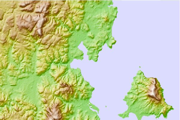
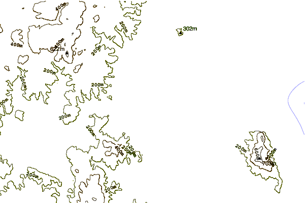

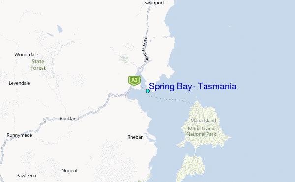
Use this relief map to navigate to tide stations, surf breaks and cities that are in the area of Spring Bay, Tasmania.
Other Nearby Locations' tide tables and tide charts to Spring Bay, Tasmania:
click location name for more details
 Surf breaks close to Spring Bay, Tasmania:
|
||
|---|---|---|
| Closest surf break | Shelly Point | 2 mi |
| Second closest surf break | Orford Rivermouth | 2 mi |
| Third closest surf break | Little Swanport | 17 mi |
| Fourth closest surf break | Marion Bay | 17 mi |
| Fifth closest surf break | Buxton Point | 21 mi |


 Nearest
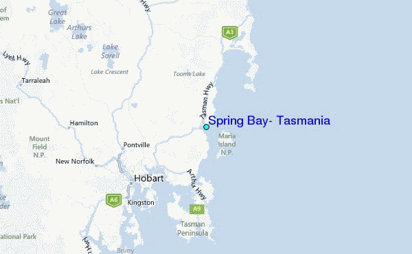