
| Distance / Altitude | Location | Report Date / Time | Live Weather | Wind | Gusts | Temp. | Visibility | Cloud |
|---|---|---|---|---|---|---|---|---|
| 12 km SSW / 87 m | Cape Grim (Australia) | 2026-07-12 20:00 local (2026/07/12 10:00 GMT) | no report | wind obs. (11 kph from 180 degs) was rejected (- km/h at -) | 8°C | - | - - - | |
| 36 km SE / 9 m | Smithton Aerodrome (Australia) | 2026-07-12 19:00 local (2026/07/12 09:00 GMT) | - | wind obs. (9 kph from 180 degs) was rejected (- km/h at -) | — | - | - | |
| 68 km SSE / 344 m | Luncheon Hill (Forestry) (Australia) | 2026-07-12 20:00 local (2026/07/12 10:00 GMT) | no report | wind obs. (9 kph from 150 degs) was rejected (- km/h at -) | 5°C | - | - - - | |
| 91 km ESE / 12 m | Burnie Airport (Wynyard) (Australia) | 2026-07-12 20:00 local (2026/07/12 10:00 GMT) | no report | light winds from the W (11 km/h at 260) | 4°C | - | - - - | |
| 108 km ESE / 0 m | Burnie Ntc Aws (Australia) | 2026-07-12 19:00 local (2026/07/12 09:00 GMT) | no report | wind obs. (11 kph from 200 degs) was rejected (- km/h at -) | 10°C | - | - | |
| 111 km WNW / 38 m | King Island Airport (Australia) | 2026-07-12 20:00 local (2026/07/12 10:00 GMT) | no report | wind obs. (9 kph from 160 degs) was rejected (- km/h at -) | 6°C | - | - | |
| 135 km N / 15 m | SHIP4844 (Marine) | 2026-07-12 20:00 local (2026/07/12 10:00 GMT) | near gales from the W (61.2 km/h at 260) | — | - km | |||
| 135 km N / 15 m | SHIP2641 (Marine) | 2026-07-12 20:00 local (2026/07/12 10:00 GMT) | near gales from the W (61.2 km/h at 260) | — | - km | |||
| 152 km SSE / 1120 m | Mount Read (Australia) | 2026-07-12 20:00 local (2026/07/12 10:00 GMT) | no report | wind obs. (6 kph from 190 degs) was rejected (- km/h at -) | 3°C | - | - - - | |
| 152 km ESE / 10 m | Devonport Airport (Australia) | 2026-07-12 20:00 local (2026/07/12 10:00 GMT) | no report | wind obs. (9 kph from 170 degs) was rejected (- km/h at -) | 6°C | - | - |
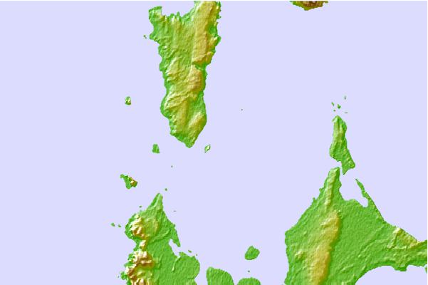
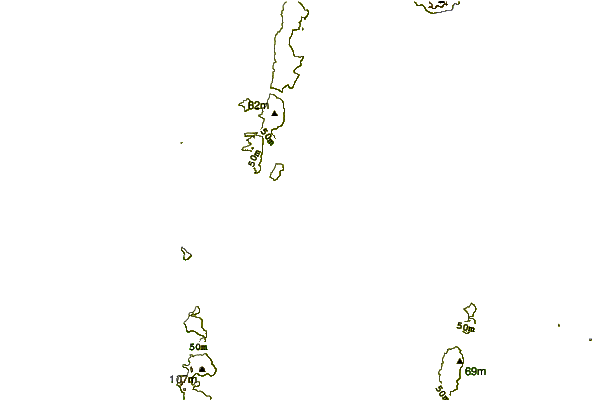
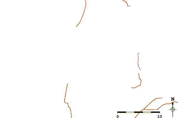
| Contours: | Roads & Rivers: | Select a
tide station / surf break / city |
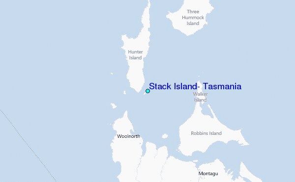
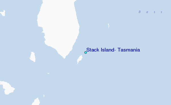
Use this relief map to navigate to tide stations, surf breaks and cities that are in the area of Stack Island, Tasmania.
Other Nearby Locations' tide tables and tide charts to Stack Island, Tasmania:
click location name for more details
 Surf breaks close to Stack Island, Tasmania:
|
||
|---|---|---|
| Closest surf break | Mount Cameron | 19 mi |
| Second closest surf break | Greens Point Beach | 22 mi |
| Third closest surf break | Nettley Bay Point | 24 mi |
| Fourth closest surf break | Nettley Bay Reefs | 24 mi |
| Fifth closest surf break | Lighthouse Beach | 25 mi |


 Nearest
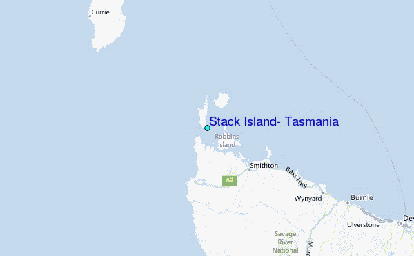