
| Distance / Altitude | Location | Report Date / Time | Live Weather | Wind | Gusts | Temp. | Visibility | Cloud |
|---|---|---|---|---|---|---|---|---|
| 25 km WNW / 3 m | BUOY-KTNF1 (Marine) | 2026-07-28 11:20 local (2026/07/28 15:20 GMT) | light winds from the SSW (11 km/h at 210) | 30°C | - | |||
| 31 km ESE / 219 m | Cross City Airport (Florida) | 2026-07-28 10:35 local (2026/07/28 14:35 GMT) | Dry and partly cloudy | light winds from the WSW (15 km/h at 240) | 31°C | 16 | scattered scattered | |
| 48 km NW / 14 m | Perry Foley Airport (Florida) (Florida) | 2026-07-28 10:35 local (2026/07/28 14:35 GMT) | Clear | calm (0 km/h at 0) | 30°C | 16 | ||
| 69 km SSE / 3 m | BUOY-CDRF1 (Marine) | 2026-07-28 11:20 local (2026/07/28 15:20 GMT) | light winds from the W (13 km/h at 270) | 30°C | - | |||
| 69 km SSE / 3 m | BUOY-CKYF1 (Marine) | 2026-07-28 11:00 local (2026/07/28 15:00 GMT) | light winds from the W (15 km/h at 280) | 30°C | - | |||
| 78 km NNE / 32 m | Live Oak Airport (Florida) (Florida) | 2026-07-28 10:35 local (2026/07/28 14:35 GMT) | Clear | calm (0 km/h at 0) | 29°C | 16 | ||
| 82 km NE / 66 m | lightning 15km E of Live Oak (United States) | 2026-07-28 11:16 local (2026/07/28 15:16 GMT) | Thunderstorm | (- km/h at -) | — | |||
| 95 km NE / 62 m | Lake City Airport (Florida) (Florida) | 2026-07-28 10:35 local (2026/07/28 14:35 GMT) | Clear | light winds from the WNW (6 km/h at 290) | 29°C | 16 | ||
| 96 km ESE / 23 m | Williston Municipal Airport (Florida) (Florida) | 2026-07-28 10:35 local (2026/07/28 14:35 GMT) | Clear | wind obs. (17 kph from 300 degs) was rejected (- km/h at -) | 30°C | 16 | ||
| 100 km W / 1 m | Alligator Point wx (United States) | 2026-07-28 11:13 local (2026/07/28 15:13 GMT) | dry | calm (5 km/h at 256) | 28°C | - | - - 0 |
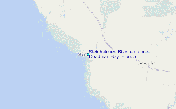
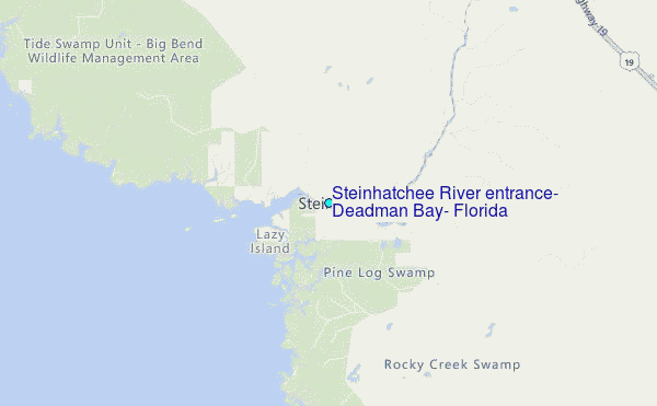
Choose Steinhatchee River entrance, Deadman Bay, Florida Location Map Zoom:
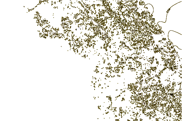
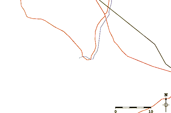
| Contours: | Roads & Rivers: | Select a
tide station / surf break / city |
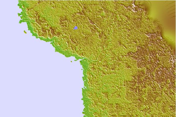
Use this relief map to navigate to tide stations, surf breaks and cities that are in the area of Steinhatchee River entrance, Deadman Bay, Florida.
Other Nearby Locations' tide tables and tide charts to Steinhatchee River entrance, Deadman Bay, Florida:
click location name for more details
 Surf breaks close to Steinhatchee River entrance, Deadman Bay, Florida:
|
||
|---|---|---|
| Closest surf break | St George Island | 89 mi |
| Second closest surf break | Anclote Island | 108 mi |
| Third closest surf break | Honeymoon Island | 112 mi |
| Fourth closest surf break | Clearwater Pass | 122 mi |
| Fifth closest surf break | Clearwater Beach | 124 mi |


 Nearest
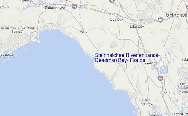