
| Distance / Altitude | Location | Report Date / Time | Live Weather | Wind | Gusts | Temp. | Visibility | Cloud |
|---|---|---|---|---|---|---|---|---|
| 126 km SSW / 3 m | BUOY-MRYA2 (Marine) | 2026-07-26 02:32 local (2026/07/26 10:32 GMT) | light winds from the S (8 km/h at 190) | 12°C | - | |||
| 131 km SW / 3 m | BUOY-SXXA2 (Marine) | 2026-07-26 02:32 local (2026/07/26 10:32 GMT) | calm (5 km/h at 130) | 12°C | - | |||
| 132 km SW / 3 m | BUOY-SLXA2 (Marine) | 2026-07-26 02:32 local (2026/07/26 10:32 GMT) | light winds from the SE (9 km/h at 130) | 12°C | - | |||
| 132 km SW / 3 m | BUOY-KECA2 (Marine) | 2026-07-26 02:18 local (2026/07/26 10:18 GMT) | light winds from the ESE (8 km/h at 110) | 12°C | - | |||
| 133 km SW / 1 m | Mountain Point wx (United States) | 2026-07-26 02:20 local (2026/07/26 10:20 GMT) | dry | calm (3 km/h at 113) | 11°C | - | - - 0 | |
| 134 km SW / 3 m | BUOY-KEXA2 (Marine) | 2026-07-26 02:32 local (2026/07/26 10:32 GMT) | calm (4 km/h at 140) | — | - | |||
| 134 km SW / 3 m | BUOY-WCXA2 (Marine) | 2026-07-26 02:32 local (2026/07/26 10:32 GMT) | calm (4 km/h at 130) | 12°C | - | |||
| 135 km SW / 211 m | Ketchikan Airport (Alaska) | 2026-07-26 01:25 local (2026/07/26 09:25 GMT) | Dry and cloudy | light winds from the SE (7 km/h at 140) | 12°C | 13 | scattered overcast | |
| 139 km SSW / 7 m | Metlakatla wx (United States) | 2026-07-26 02:00 local (2026/07/26 10:00 GMT) | dry | calm (3 km/h at 360) | 11°C | - | - - 0 | |
| 141 km SW / 3 m | BUOY-GIXA2 (Marine) | 2026-07-26 02:32 local (2026/07/26 10:32 GMT) | light winds from the ESE (13 km/h at 120) | 13°C | - |
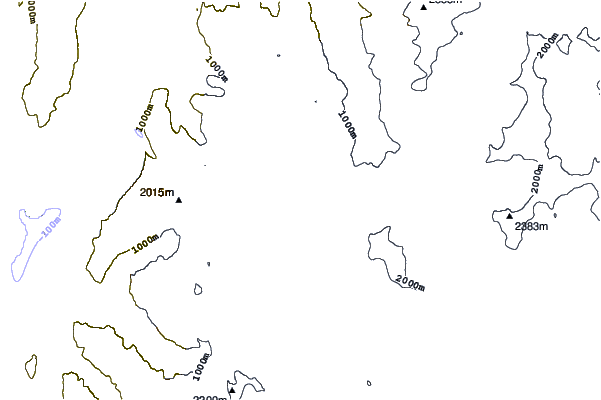
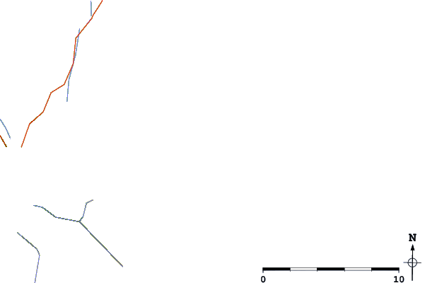
| Contours: | Roads & Rivers: | Select a
tide station / surf break / city |
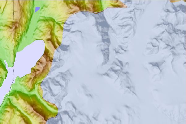
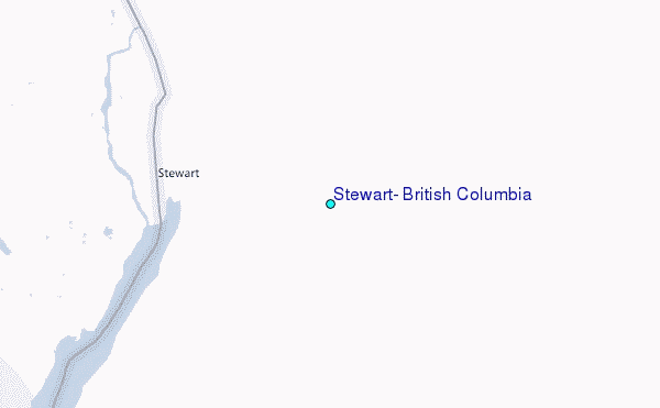
Use this relief map to navigate to tide stations, surf breaks and cities that are in the area of Stewart, British Columbia.
Other Nearby Locations' tide tables and tide charts to Stewart, British Columbia:
click location name for more details
 Surf breaks close to Stewart, British Columbia:
|
||
|---|---|---|
| Closest surf break | Tow Hill Beach | 150 mi |
| Second closest surf break | Lepus Beach (Haida-Gwaii) | 176 mi |
| Third closest surf break | Cannon Beach | 443 mi |
| Fourth closest surf break | Graveyards | 446 mi |
| Fifth closest surf break | Ocean Cape | 447 mi |


 Nearest
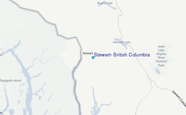