
| Distance / Altitude | Location | Report Date / Time | Live Weather | Wind | Gusts | Temp. | Visibility | Cloud |
|---|---|---|---|---|---|---|---|---|
| 15 km WNW / 15 m | SHIP2816 (Marine) | 2026-06-26 20:00 local (2026/06/26 19:00 GMT) | - (- km/h at -) | — | - km | |||
| 15 km WNW / 3 m | SHIP6287 (Marine) | 2026-06-26 20:00 local (2026/06/26 19:00 GMT) | - (- km/h at -) | 16°C | - | |||
| 15 km WNW / 15 m | SHIP1467 (Marine) | 2026-06-26 20:00 local (2026/06/26 19:00 GMT) | - (- km/h at -) | — | - km | |||
| 15 km WNW / 3 m | SHIP1089 (Marine) | 2026-06-26 20:00 local (2026/06/26 19:00 GMT) | - (- km/h at -) | 16°C | - | |||
| 15 km WNW / 3 m | SHIP4485 (Marine) | 2026-06-26 20:00 local (2026/06/26 19:00 GMT) | - (- km/h at -) | 16°C | - | |||
| 15 km WNW / 3 m | SHIP7150 (Marine) | 2026-06-26 20:00 local (2026/06/26 19:00 GMT) | - (- km/h at -) | 16°C | - | |||
| 15 km WNW / 15 m | SHIP6883 (Marine) | 2026-06-26 20:00 local (2026/06/26 19:00 GMT) | - (- km/h at -) | — | - km | |||
| 15 km WNW / 15 m | SHIP4758 (Marine) | 2026-06-26 20:00 local (2026/06/26 19:00 GMT) | - (- km/h at -) | — | - km | |||
| 15 km WNW / 3 m | SHIP557 (Marine) | 2026-06-26 20:00 local (2026/06/26 19:00 GMT) | - (- km/h at -) | 16°C | - | |||
| 33 km SSW / 3 m | SHIP4416 (Marine) | 2026-06-26 21:00 local (2026/06/26 20:00 GMT) | - (- km/h at -) | 15°C | - |
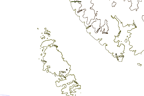
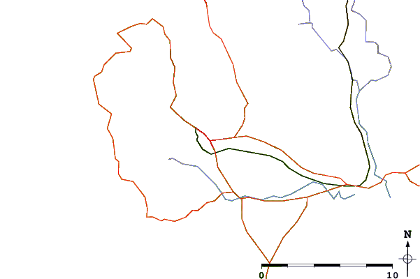
| Contours: | Roads & Rivers: | Select a
tide station / surf break / city |
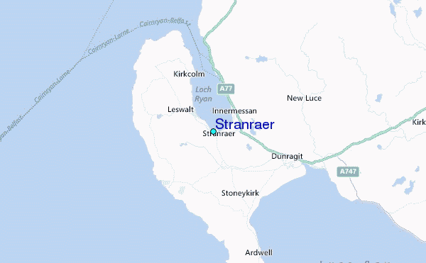
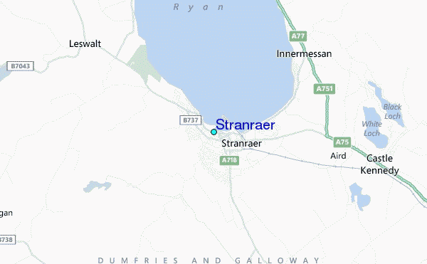
Use this relief map to navigate to tide stations, surf breaks and cities that are in the area of Stranraer.
Other Nearby Locations' tide tables and tide charts to Stranraer:
click location name for more details
 Surf breaks close to Stranraer:
|
||
|---|---|---|
| Closest surf break | Southend Reef | 36 mi |
| Second closest surf break | Dunaverty Bay | 37 mi |
| Third closest surf break | Carskiey Bay | 38 mi |
| Fourth closest surf break | Machrihanish | 45 mi |
| Fifth closest surf break | Westport | 47 mi |


 Nearest
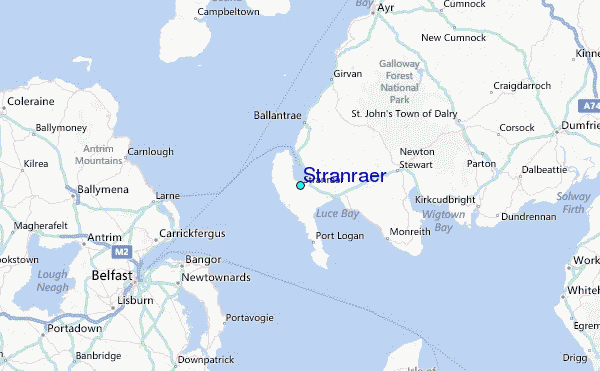