
| Distance / Altitude | Location | Report Date / Time | Live Weather | Wind | Gusts | Temp. | Visibility | Cloud |
|---|---|---|---|---|---|---|---|---|
| 12 km N / 3 m | SHIP682 (Marine) | 2026-06-26 19:00 local (2026/06/26 18:00 GMT) | - (- km/h at -) | 32°C | - | |||
| 15 km S / 20 m | East Farleigh (United Kingdom) | 2026-06-26 20:07 local (2026/06/26 19:07 GMT) | dry | calm (3 km/h at 158) | 29°C | - | - - 0 | |
| 20 km NE / 1 m | Leigh-on-Sea wx (United Kingdom) | 2026-06-26 19:25 local (2026/06/26 18:25 GMT) | dry | light winds from the WSW (18 km/h at 243) | 29°C | - | - - 0 | |
| 21 km SSW / 4 m | Tonbridge (United Kingdom) | 2026-06-26 19:28 local (2026/06/26 18:28 GMT) | dry | calm (0 km/h at 187) | — | - | - - 0 | |
| 24 km NE / 217 m | Southend-on-sea Airport (United Kingdom) | 2026-06-26 19:20 local (2026/06/26 18:20 GMT) | - | moderate winds from the SW (22 km/h at 230) | — | 0.0 | ||
| 25 km WNW / 64 m | Cranham wx (United Kingdom) | 2026-06-26 20:13 local (2026/06/26 19:13 GMT) | dry | calm (0 km/h at 206) | 31°C | - | - - 0 | |
| 26 km W / 10 m | Northumberland Heath wx (United Kingdom) | 2026-06-26 19:33 local (2026/06/26 18:33 GMT) | dry | wind obs. (8 kph from 184 degs) was rejected (- km/h at -) | 31°C | - | - - 0 | |
| 27 km SSE / 24 m | Headcorn wx (United Kingdom) | 2026-06-26 20:06 local (2026/06/26 19:06 GMT) | dry | calm (3 km/h at 223) | 28°C | - | - - 0 |
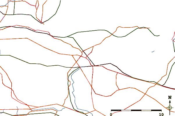
| Contours: | Roads & Rivers: | Select a
tide station / surf break / city |
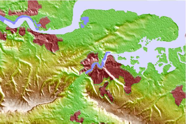
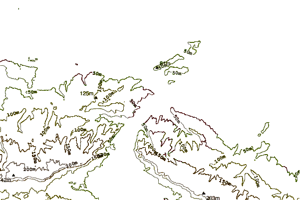
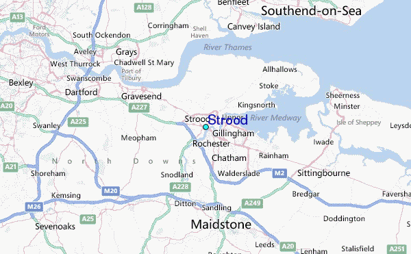
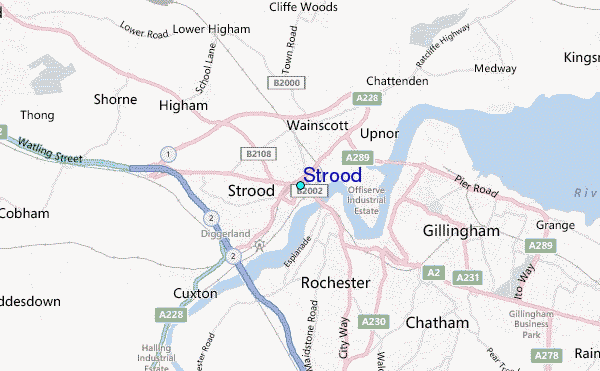
Use this relief map to navigate to tide stations, surf breaks and cities that are in the area of Strood.
Other Nearby Locations' tide tables and tide charts to Strood:
click location name for more details
 Surf breaks close to Strood:
|
||
|---|---|---|
| Closest surf break | Camber Sands | 35 mi |
| Second closest surf break | Fairlight | 37 mi |
| Third closest surf break | Folkestone Wear Bay | 37 mi |
| Fourth closest surf break | Folkestone | 37 mi |
| Fifth closest surf break | Hastings | 38 mi |


 Nearest
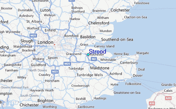