
| Distance / Altitude | Location | Report Date / Time | Live Weather | Wind | Gusts | Temp. | Visibility | Cloud |
|---|---|---|---|---|---|---|---|---|
| 70 km W / 249 m | Cairo Capital International Airport (Egypt) | 2026-06-25 12:00 local (2026/06/25 10:00 GMT) | - | moderate winds from the NW (20 km/h at 320) | — | 0.0 | ||
| 78 km NW / 3 m | Ismailia Air Base (Egypt) | 2026-06-25 12:00 local (2026/06/25 10:00 GMT) | - | light winds from the N (19 km/h at 350) | — | 0.0 | ||
| 78 km NW / 3 m | SHIP4470 (Marine) | 2026-06-25 12:00 local (2026/06/25 10:00 GMT) | - (- km/h at -) | 30°C | - | |||
| 114 km WSW / 217 m | Cairo International Airport (Egypt) | 2026-06-25 12:30 local (2026/06/25 10:30 GMT) | Dry and partly cloudy | light winds from the NNW (11 km/h at 330) | — | 0.0 | no significant cloud - - | |
| 151 km N / 214 m | Port Said Airport (Egypt) | 2026-06-25 12:00 local (2026/06/25 10:00 GMT) | - | light winds from the NNW (19 km/h at 330) | — | 0.0 | ||
| 78 km NW / 15 m | SHIP7305 (Marine) | 2026-06-25 12:00 local (2026/06/25 10:00 GMT) | - (- km/h at -) | — | - km | |||
| 78 km NW / 15 m | SHIP1710 (Marine) | 2026-06-25 12:00 local (2026/06/25 10:00 GMT) | - (- km/h at -) | — | - km | |||
| 78 km NW / 3 m | SHIP811 (Marine) | 2026-06-25 12:00 local (2026/06/25 10:00 GMT) | - (- km/h at -) | 30°C | - | |||
| 78 km NW / 3 m | SHIP1502 (Marine) | 2026-06-25 12:00 local (2026/06/25 10:00 GMT) | - (- km/h at -) | 30°C | - | |||
| 78 km NW / 3 m | SHIP3611 (Marine) | 2026-06-25 12:00 local (2026/06/25 10:00 GMT) | - (- km/h at -) | 30°C | - |
| Contours: | Roads & Rivers: | Select a
tide station / surf break / city |
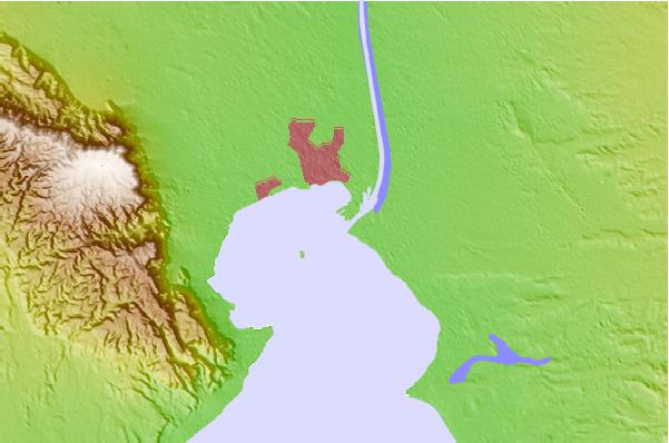
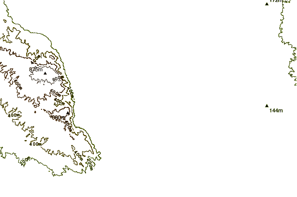
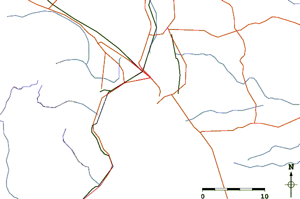
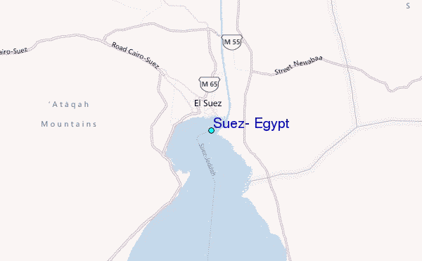
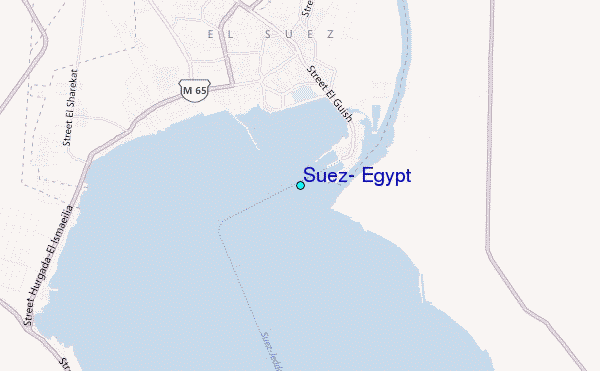
Use this relief map to navigate to tide stations, surf breaks and cities that are in the area of Suez, Egypt.
Other Nearby Locations' tide tables and tide charts to Suez, Egypt:
click location name for more details
 Surf breaks close to Suez, Egypt:
|
||
|---|---|---|
| Closest surf break | Eilat (Green Beach) | 149 mi |
| Second closest surf break | Gaza Harbourmouth | 157 mi |
| Third closest surf break | Ziqim ( Zikim) Beach | 164 mi |
| Fourth closest surf break | Ashkelon Shimshon | 168 mi |
| Fifth closest surf break | Tayelet Ashkelon | 170 mi |


 Nearest
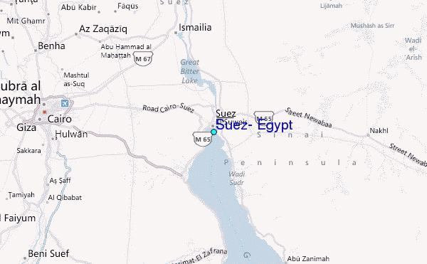