
| Distance / Altitude | Location | Report Date / Time | Live Weather | Wind | Gusts | Temp. | Visibility | Cloud |
|---|---|---|---|---|---|---|---|---|
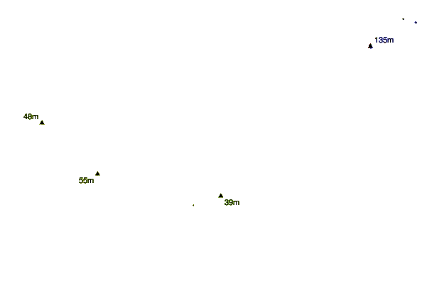
| 6 km S / 217 m | Suffolk Airport (Virginia) | 2026-06-09 04:35 local (2026/06/09 08:35 GMT) | Clear | calm (0 km/h at 0) | 12°C | 16 | ||
| 13 km ENE / 7 m | Hampton Roads Executive Airport - Norfolk (Virginia) (Virginia) | 2026-06-09 03:56 local (2026/06/09 07:56 GMT) | Clear | calm (0 km/h at 0) | 10°C | 16 | ||
| 25 km ESE / 217 m | Chesapeake Airport (Virginia) | 2026-06-09 04:35 local (2026/06/09 08:35 GMT) | Clear | calm (0 km/h at 0) | 10°C | 16 | ||
| 26 km E / 3 m | BUOY-MNPV2 (Marine) | 2026-06-09 05:00 local (2026/06/09 09:00 GMT) | calm (4 km/h at 20) | 15°C | - | |||
| 27 km NE / 3 m | BUOY-CRYV2 (Marine) | 2026-06-09 05:00 local (2026/06/09 09:00 GMT) | light winds from the E (8 km/h at 100) | 16°C | - | |||
| 28 km NNE / 3 m | BUOY-DOMV2 (Marine) | 2026-06-09 05:00 local (2026/06/09 09:00 GMT) | light winds from the SE (8 km/h at 130) | 17°C | - | |||
| 29 km WSW / 217 m | Franklin/Municipal-John Beverly Rose Airport (Virginia) | 2026-06-09 04:35 local (2026/06/09 08:35 GMT) | Clear | calm (0 km/h at 0) | 12°C | 16 | ||
| 32 km NE / 3 m | BUOY-SWPV2 (Marine) | 2026-06-09 05:00 local (2026/06/09 09:00 GMT) | - (- km/h at -) | 16°C | - | |||
| 36 km NE / 3 m | BUOY-WDSV2 (Marine) | 2026-06-09 05:00 local (2026/06/09 09:00 GMT) | light winds from the SE (9 km/h at 130) | 16°C | - | |||
| 37 km ENE / 2 m | Norfolk (Virginia) | 2026-06-09 05:39 local (2026/06/09 09:39 GMT) | dry | calm (0 km/h at 0) | 14°C | - | - - 0 |
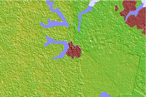
| Contours: | Roads & Rivers: | Select a
tide station / surf break / city |
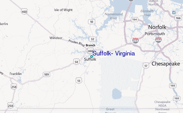
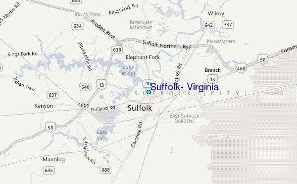
Use this relief map to navigate to tide stations, surf breaks and cities that are in the area of Suffolk, Virginia.
Other Nearby Locations' tide tables and tide charts to Suffolk, Virginia:
click location name for more details
 Surf breaks close to Suffolk, Virginia:
|
||
|---|---|---|
| Closest surf break | Grandview | 30 mi |
| Second closest surf break | 42nd St VA Beach | 34 mi |
| Third closest surf break | Camp Pendleton | 35 mi |
| Fourth closest surf break | Croatan | 35 mi |
| Fifth closest surf break | Damneck Naval Base | 35 mi |


 Nearest
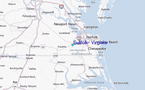