
| Distance / Altitude | Location | Report Date / Time | Live Weather | Wind | Gusts | Temp. | Visibility | Cloud |
|---|---|---|---|---|---|---|---|---|
| 130 km SW / 97 m | Bandara Airport (Indonesia) | 2026-07-10 02:30 local (2026/07/09 18:30 GMT) | - | calm (0 km/h at 0) | 19°C | 7.0 | few | |
| 251 km WSW / 216 m | Bali International Airport (Indonesia) | 2026-07-10 02:30 local (2026/07/09 18:30 GMT) | Dry and partly cloudy | moderate winds from the ESE (20 km/h at 120) | 26°C | 10.0 | scattered | |
| 445 km NNE / 217 m | Hasanuddin/Ujung Airport (Indonesia) | 2026-07-10 02:30 local (2026/07/09 18:30 GMT) | - | calm (2 km/h at 1) | 23°C | 8.0 | few | |
| 528 km W / 2 m | Juanda Airport (Indonesia) | 2026-07-10 02:30 local (2026/07/09 18:30 GMT) | Haze - | light winds from the WSW (7 km/h at 250) | 23°C | 5.0 | few | |
| 632 km NW / 20 m | Syamsudin Noor International Airport (Indonesia) | 2026-07-10 02:30 local (2026/07/09 18:30 GMT) | Dry and partly cloudy | calm (2 km/h at 320) | 22°C | 5.0 | no cloud | |
| 709 km ESE / 102 m | El Tari International Airport (Kupang) (Indonesia) | 2026-07-10 02:30 local (2026/07/09 18:30 GMT) | Dry and partly cloudy | light winds from the ESE (11 km/h at 110) | 24°C | 10.0 | no cloud - - | |
| 790 km W / 152 m | Bukitsari wx (Indonesia) | 2026-07-10 03:44 local (2026/07/09 19:44 GMT) | - | - (- km/h at ) | 27°C | - | - - 0 | |
| 790 km W / 152 m | Bukitsari wx (Indonesia) | 2026-07-10 03:47 local (2026/07/09 19:47 GMT) | - | - (- km/h at ) | 24°C | - | - - 0 | |
| 796 km W / 5 m | Ahmad Yani International Airport (Indonesia) | 2026-07-10 02:30 local (2026/07/09 18:30 GMT) | Dry and partly cloudy | light winds from the ESE.(Wind varies from 090 to 150 degs) (7 km/h at 120) | 25°C | 8.0 | no cloud | |
| 802 km N / 3 m | Sepinggan Airport (Indonesia) | 2026-07-10 02:30 local (2026/07/09 18:30 GMT) | Dry and partly cloudy | light winds from the SW.(Wind varies from 190 to 300 degs) (19 km/h at 230) | 28°C | 10.0 | scattered - - |
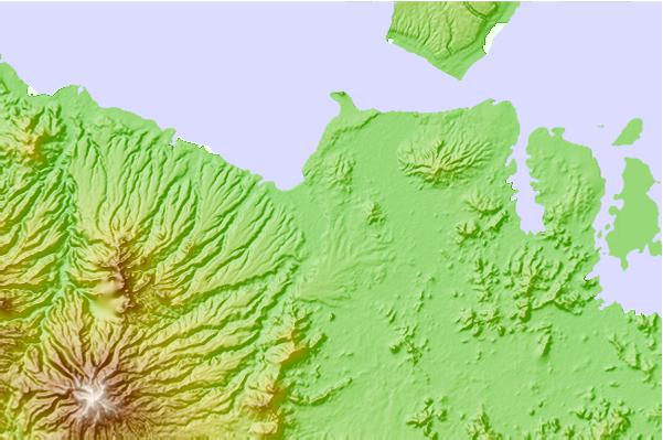
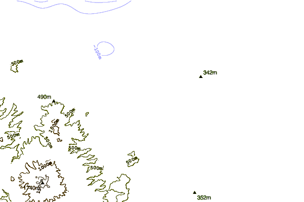
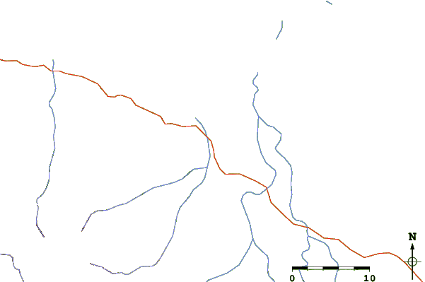
| Contours: | Roads & Rivers: | Select a
tide station / surf break / city |
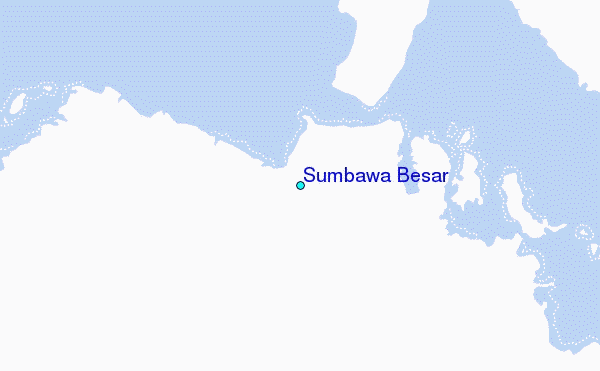
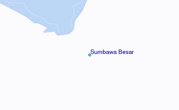
Use this relief map to navigate to tide stations, surf breaks and cities that are in the area of Sumbawa Besar.
Other Nearby Locations' tide tables and tide charts to Sumbawa Besar:
click location name for more details
 Surf breaks close to Sumbawa Besar:
|
||
|---|---|---|
| Closest surf break | Flies | 47 mi |
| Second closest surf break | Northern Rights | 48 mi |
| Third closest surf break | Downtowns | 51 mi |
| Fourth closest surf break | Scar Reef | 54 mi |
| Fifth closest surf break | Benete | 55 mi |


 Nearest
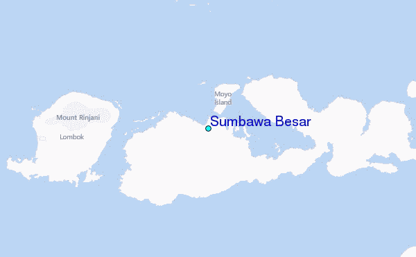