
| Distance / Altitude | Location | Report Date / Time | Live Weather | Wind | Gusts | Temp. | Visibility | Cloud |
|---|---|---|---|---|---|---|---|---|
| 30 km SE / 3 m | SHIP6561 (Marine) | 2026-06-23 16:00 local (2026/06/24 00:00 GMT) | - (- km/h at -) | — | - | |||
| 51 km S / 3 m | BUOY-CDXA2 (Marine) | 2026-06-23 17:32 local (2026/06/24 01:32 GMT) | moderate winds from the NW (26 km/h at 310) | 10°C | - | |||
| 51 km S / 3 m | BUOY-CDEA2 (Marine) | 2026-06-23 17:22 local (2026/06/24 01:22 GMT) | moderate winds from the WNW (24 km/h at 290) | 13°C | - | |||
| 30 km SE / 15 m | SHIP6195 (Marine) | 2026-06-23 16:00 local (2026/06/24 00:00 GMT) | - (- km/h at -) | — | - km | |||
| 30 km SE / 15 m | SHIP374 (Marine) | 2026-06-23 16:00 local (2026/06/24 00:00 GMT) | - (- km/h at -) | — | - km | |||
| 51 km S / 3 m | BUOY-CDXA2 (Marine) | 2026-06-23 17:32 local (2026/06/24 01:32 GMT) | moderate winds from the NW (26 km/h at 310) | 10°C | - | |||
| 51 km S / 3 m | BUOY-CDEA2 (Marine) | 2026-06-23 17:22 local (2026/06/24 01:22 GMT) | moderate winds from the WNW (24 km/h at 290) | 13°C | - | |||
| 54 km N / 15 m | SHIP6396 (Marine) | 2026-06-23 16:00 local (2026/06/24 00:00 GMT) | moderate winds from the WNW (22.32 km/h at 290) | 12°C | - km | |||
| 54 km N / 3 m | SHIP7224 (Marine) | 2026-06-23 16:00 local (2026/06/24 00:00 GMT) | moderate winds from the WNW (22 km/h at 290) | 12°C | - | |||
| 54 km N / 15 m | SHIP4556 (Marine) | 2026-06-23 15:00 local (2026/06/23 23:00 GMT) | moderate winds from the WNW (22.32 km/h at 300) | 11°C | - km |
| Contours: | Roads & Rivers: | Select a
tide station / surf break / city |
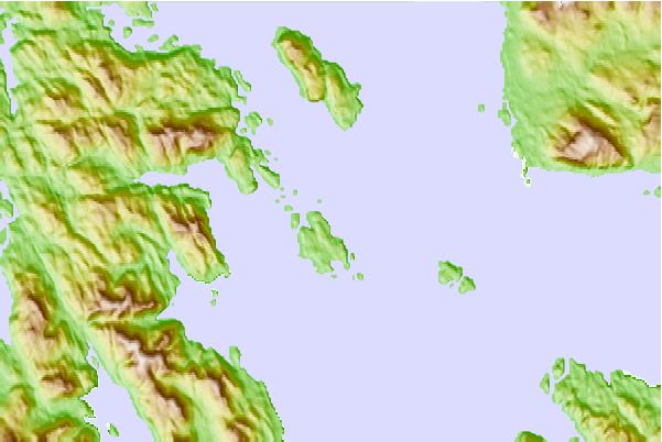
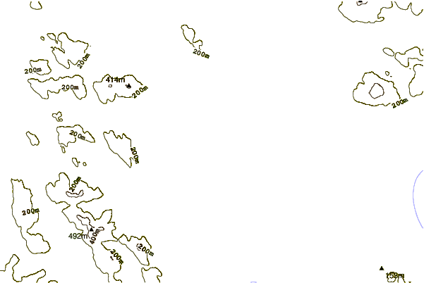
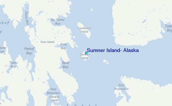
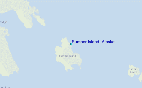
Use this relief map to navigate to tide stations, surf breaks and cities that are in the area of Sumner Island, Alaska.
Other Nearby Locations' tide tables and tide charts to Sumner Island, Alaska:
click location name for more details
 Surf breaks close to Sumner Island, Alaska:
|
||
|---|---|---|
| Closest surf break | Lepus Beach (Haida-Gwaii) | 158 mi |
| Second closest surf break | Tow Hill Beach | 180 mi |
| Third closest surf break | Cannon Beach | 305 mi |
| Fourth closest surf break | Graveyards | 309 mi |
| Fifth closest surf break | Ocean Cape | 310 mi |


 Nearest
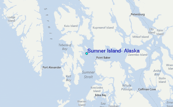